Home
States
Colorado
Connecticut
Maine
Massachusetts
New Hampshire
New York
Rhode Island
Utah
Vermont
View All
Lists
NE 4,000 Footers
NE 100 Highest
NH 4,000 Footers
NH 100 Highest
NH 52 With A View
NH Belknap Range
NH Ossipee 10
Links
Trail Conditions
Trip Log
Sunrises
Sunsets
About
|
Mt. Hunger
Ashburnham, MA
Trailheads, measurements, times, distances, and maps are all approximate and relative to the hike(s) as shown below.
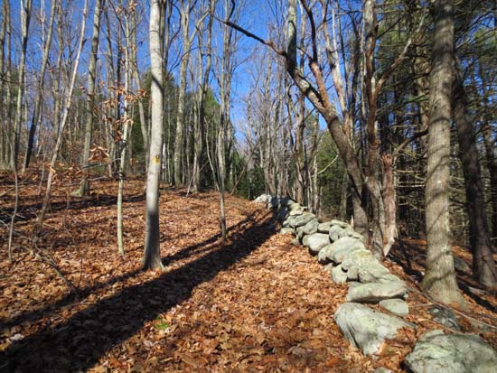
Looking up the Midstate Trail
Route: Midstate Trail
Trail was mostly dry and in good shape. Nice views of Watatic from the on trail vista. Bushwhacked to a nearby bump to attempt to hit the highpoint, but it looks like there are a bunch of possibilities. It appears the highpoint as labelled on old maps was a little bit past the ledge view.
Pretty easy grades with only two short climbs (slippery leaves). Good footing most of the way. Good for trail jogging.
| Hike Ratings |
|
Getting To Trailhead: |
Easy |
| Destination: |
Mt. Hunger |
|
Length: |
Moderate |
|
Steepness: |
Easy |
|
Navigation: |
Easy |
|
Views: |
Excellent |
|
Crowds: |
Minimal |
|
| Hike Stats |
|
Date Hiked: |
Thursday, November 22, 2012 |
| Parking Elevation: |
1,140' |
| Destination: |
Mt. Hunger |
| Time Elapsed: |
00:21 |
| Trailhead Elevation: |
1,140' |
| Summit Elevation*: |
1,435' |
| Vertical Gain: |
375' |
|
|
| Hike Time Elapsed: |
00:42 |
| Hike Vertical Gain: |
475' |
|
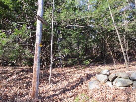
The Midstate Trail trailhead on Russell Hill Road
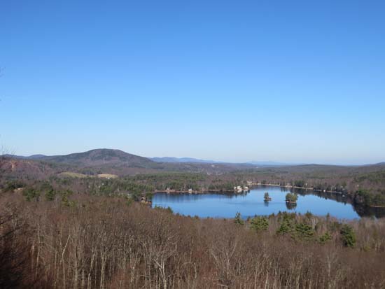
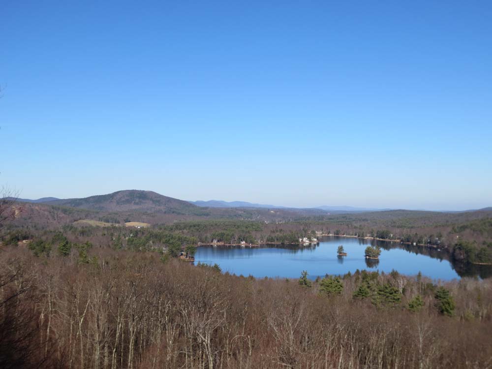
Looking over Stodge Meadow Pond at Mt. Watatic from the Mt. Hunger vista
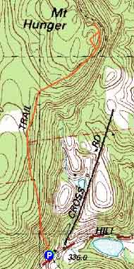

Directions to trailhead: From Route 12 in Ashburnham, take Russell Hill Road east. Shortly after passing over a height of land (and just before Cross Road), the Midstate Trail will be on the left, with minimal room to park roadside just above the trailhead.
Back to Mt. Hunger Profile
|