Home
States
Colorado
Connecticut
Maine
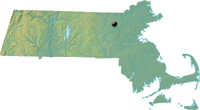
Massachusetts
New Hampshire
New York
Rhode Island
Utah
Vermont
View All
Lists
NE 4,000 Footers
NE 100 Highest
NH 4,000 Footers
NH 100 Highest
NH 52 With A View
NH Belknap Range
NH Ossipee 10
Links
Trail Conditions
Trip Log
Sunrises
Sunsets
About
|
Nashoba Hill
Westford, MA
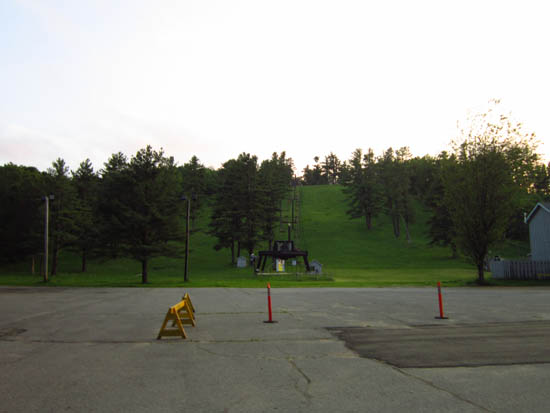
Nashoba Hill
 Summary Summary
Located just to the east of Interstate 495, Nashoba Hill is best known as the home of Nashoba Valley Ski Area.
Summit Elevation
426 feet
Summit Facilities
None.
Trip Reports:
Click on the date for photos, timestamps, and maps.
More Information
- Nashoba Valley - NewEnglandSkiHistory.com
- Nashoba Valley Ski Area - official site
|
