Home
States
Colorado
Connecticut
Maine
Massachusetts
New Hampshire
New York
Rhode Island
Utah
Vermont
View All
Lists
NE 4,000 Footers
NE 100 Highest
NH 4,000 Footers
NH 100 Highest
NH 52 With A View
NH Belknap Range
NH Ossipee 10
Links
Trail Conditions
Trip Log
Sunrises
Sunsets
About
|
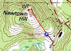
Newtown Hill
Littleton, MA
Trailheads, measurements, times, distances, and maps are all approximate and relative to the hike(s) as shown below.
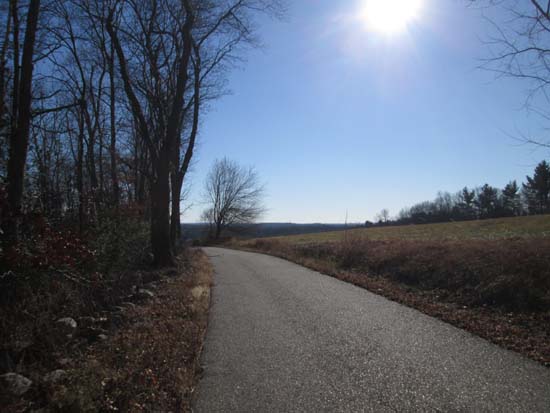
The Newtown Hill access road
Route: Access road
Newtown Hill Conservation Land in Littleton, near exit 41 of Route 2.
A quick jog up the paved access road to the water tank. Nice directional views southeast from the grassy summit.
| Hike Ratings |
|
Getting To Trailhead: |
Easy |
| Destination: |
Newtown Hill |
|
Length: |
Easy |
|
Steepness: |
Easy |
|
Navigation: |
Easy |
|
Views: |
Excellent |
|
Crowds: |
Minimal |
|
| Hike Stats |
|
Date Hiked: |
Thursday, November 28, 2013 |
| Parking Elevation: |
350' |
| Destination: |
Newtown Hill |
| Time Elapsed: |
00:03 |
| Trailhead Elevation: |
350' |
| Summit Elevation*: |
443' |
| Vertical Gain: |
375' |
|
|
| Hike Time Elapsed: |
00:06 |
| Hike Vertical Gain: |
100' |
|
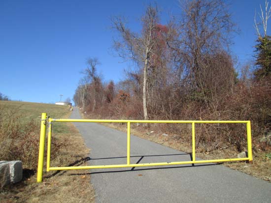
The gate at the start of the Newtown Hill access road
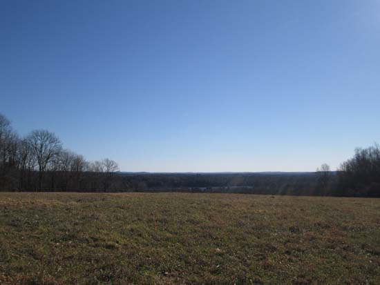
Looking southeast from Newtown Hill

Directions to trailhead: From Exit 41 off Route 2 in Littleton, take Newtown Road north. The paved access road for Newtown Hill will be on the left, just before the Tahattawan Road junction. Proceed up the access road briefly. There will be a small parking lot on the left, immediately before the gate.
Back to Newtown Hill Profile
|

