Home
States
Colorado
Connecticut
Maine
Massachusetts
New Hampshire
New York
Rhode Island
Utah
Vermont
View All
Lists
NE 4,000 Footers
NE 100 Highest
NH 4,000 Footers
NH 100 Highest
NH 52 With A View
NH Belknap Range
NH Ossipee 10
Links
Trail Conditions
Trip Log
Sunrises
Sunsets
About
|
Spruce Mountain
Monroe, MA
Trailheads, measurements, times, distances, and maps are all approximate and relative to the hike(s) as shown below. "Summit" photos may in fact not be at the actual summit - but instead at the best nearby vista.

Spruce Hill Trail
I'd looked at Spruce Mountain for years in passing on Route 2, gradually gaining more interest in it. I also looked at the DCR map and wondered if there were any views, being that there wasn't a view symbol on the summit. Unless someone goes up there with a saw, I don't see myself hiking to this peak again.
| Hike Ratings |
|
Getting To Trailhead: |
Easy |
| Destination: |
Spruce Mountain |
|
Length: |
Easy |
|
Steepness: |
Moderate |
|
Navigation: |
Easy |
|
Views: |
Minimal |
|
Crowds: |
Minimal |
|
| Hike Stats |
|
Date Hiked: |
Sunday, November 26, 2006 |
| Hike Commenced: |
1:46 PM |
| Parking Elevation: |
1,750' |
| Destination: |
Spruce Mountain |
| Ascent Commenced: |
1:50 PM |
| Summit Reached: |
2:26 PM |
| Trailhead Elevation: |
1,800' |
| Summit Elevation: |
2,730' |
| Vertical Gain: |
970' |
| Hike Ended: |
3:13 PM |
| Hike Distance: |
3 miles |
| Hike Vertical Gain: |
1,170' |
|
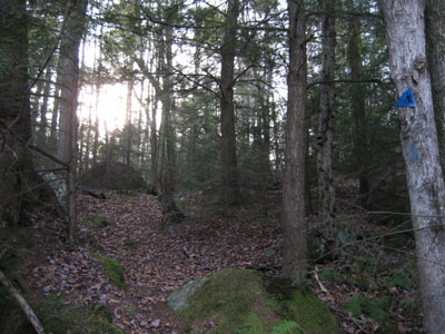
Spruce Hill Trail trailhead on Raycroft Road
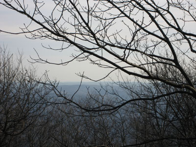
Looking southish at a near view
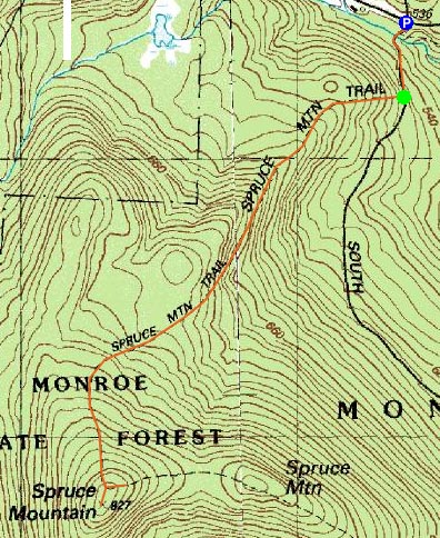

Directions to trailhead: Take Main Road to Raycroft Road. There are two parking areas prior to the first trailhead.
Back to Spruce Mountain Profile
|
