Home
States
Colorado
Connecticut
Maine
Massachusetts
New Hampshire
New York
Rhode Island
Utah
Vermont
View All
Lists
NE 4,000 Footers
NE 100 Highest
NH 4,000 Footers
NH 100 Highest
NH 52 With A View
NH Belknap Range
NH Ossipee 10
Links
Trail Conditions
Trip Log
Sunrises
Sunsets
About
|
Tucker Hill, Buck Hill, Great Blue Hill
Milton, MA
Trailheads, measurements, times, distances, and maps are all approximate and relative to the hike(s) as shown below.
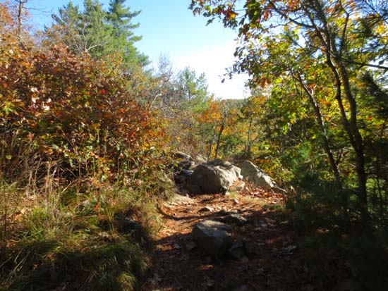
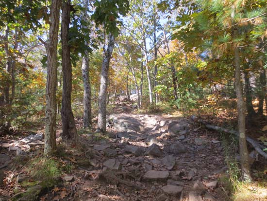
The Sky Line Trail on the way to Tucker Hill
Route: Skyline Trail, woods roads
Trails were dry and busy. No mud. Pre peak foliage
| Hike Ratings |
|
Getting To Trailhead: |
Easy |
| Destination: |
Tucker Hill |
|
Length: |
Easy |
|
Steepness: |
Moderate |
|
Navigation: |
Difficult |
|
Views: |
Excellent |
|
Crowds: |
Heavy |
| Destination: |
Buck Hill |
|
Length: |
Moderate |
|
Steepness: |
Difficult |
|
Navigation: |
Easy |
|
Views: |
Excellent |
|
Crowds: |
Moderate |
| Destination: |
Great Blue Hill |
|
Length: |
Moderate |
|
Steepness: |
Difficult |
|
Navigation: |
Easy |
|
Views: |
Excellent |
|
Crowds: |
Heavy |
|
| Hike Stats |
|
Date Hiked: |
Saturday, October 13, 2012 |
| Parking Elevation: |
197' |
| Destination: |
Tucker Hill |
| Time Elapsed: |
00:17 |
| Trailhead Elevation: |
197' |
| Summit Elevation: |
499' |
| Vertical Gain: |
312' |
| Destination: |
Buck Hill |
| Time Elapsed: |
00:19 |
| Trailhead Elevation: |
499' |
| Summit Elevation: |
496' |
| Vertical Gain: |
246' |
| Destination: |
Great Blue Hill |
| Time Elapsed: |
01:18 |
| Trailhead Elevation: |
496' |
| Summit Elevation: |
635' |
| Vertical Gain: |
688' |
|
|
| Hike Time Elapsed: |
03:33 |
| Hike Vertical Gain: |
1,406' |
|
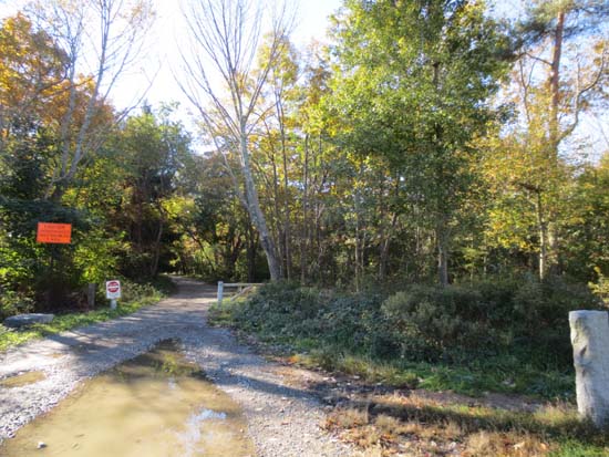
The Sky Line Trail eastbound trailhead on Hillside Street

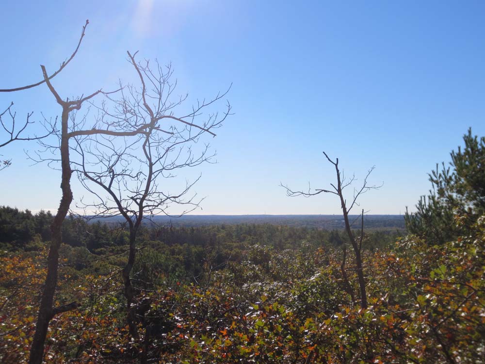
Looking southeast from near the summit of Tucker Hill
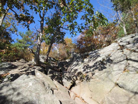
The Sky Line Trail between the peaks
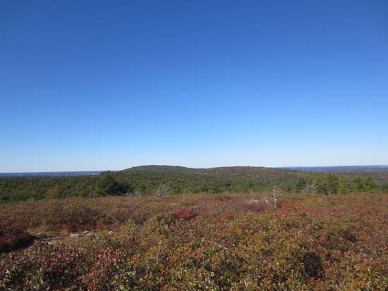
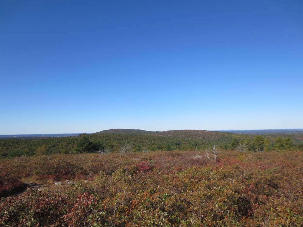
Great Blue Hill as seen from Buck Hill
The Sky Line Trail between the peaks

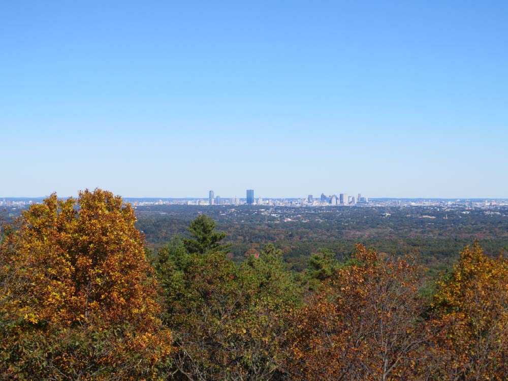
Boston as seen from the Great Blue Hill observation tower
Directions to trailhead: From I-93 south of Boston, take Exit 3 to Blue Hill River Road, then bear right onto Hillside Street. The Reservation Headquarters will be on the left shortly after the Houghtons Pond area. There is limited room for parking.
Back to Tucker Hill Profile
Back to Buck Hill Profile
Back to Great Blue Hill Profile
|