Home
States
Colorado
Connecticut
Maine
Massachusetts
New Hampshire
New York
Rhode Island
Utah
Vermont
View All
Lists
NE 4,000 Footers
NE 100 Highest
NH 4,000 Footers
NH 100 Highest
NH 52 With A View
NH Belknap Range
NH Ossipee 10
Links
Trail Conditions
Trip Log
Sunrises
Sunsets
About
|
Balch Hill
Hanover, NH
Trailheads, measurements, times, distances, and maps are all approximate and relative to the hike(s) as shown below.
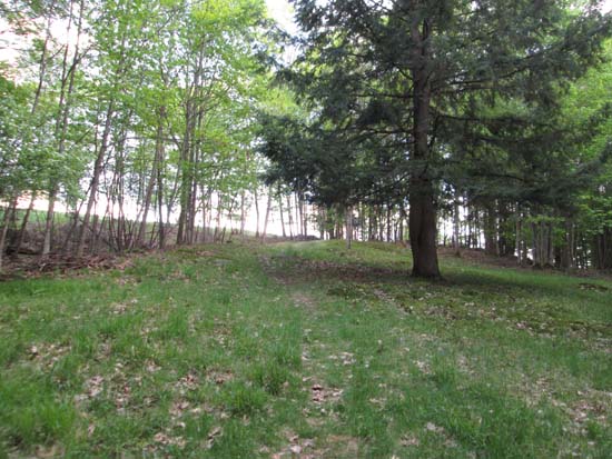
Nearing the summit on the Hemlock Trail
Route: Hemlock Trail, Fire Trail
Nice short loop up to a grassy summit with directional views into Vermont. Loop was mostly dry and in good shape.
| Hike Ratings |
|
Getting To Trailhead: |
Easy |
| Destination: |
Balch Hill |
|
Length: |
Easy |
|
Steepness: |
Moderate |
|
Navigation: |
Easy |
|
Views: |
Excellent |
|
Crowds: |
Minimal |
|
| Hike Stats |
|
Date Hiked: |
Sunday, May 25, 2014 |
| Parking Elevation: |
800' |
| Destination: |
Balch Hill |
| Time Elapsed: |
00:05 |
| Trailhead Elevation: |
800' |
| Summit Elevation: |
956' |
| Vertical Gain: |
156' |
|
|
| Hike Time Elapsed: |
00:17 |
| Hike Vertical Gain: |
176' |
|
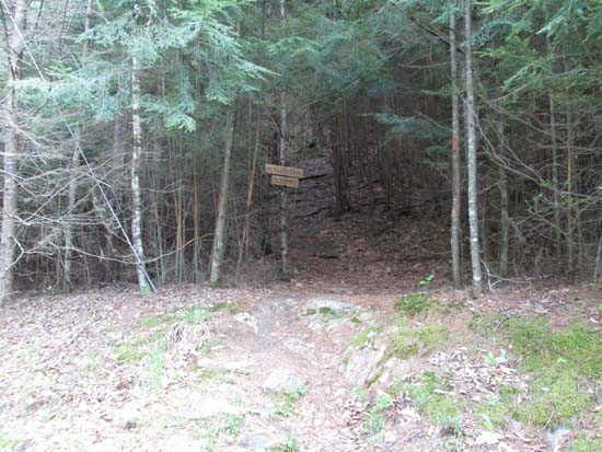
The Hemlock Trail trailhead
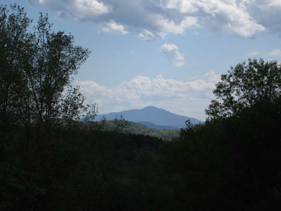
Mt. Ascutney as seen from Balch Hill
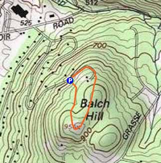

Directions to trailhead: From Route 10 in Hanover, take Reservoir Road east, then take a right onto Hemlock Road. Bear right at the Ledge Road junction to stay on Hemlock Road. There is limited room for parking at the turnaround at the top of the road. The Hemlock Trail starts at the top of the embankment.
Back to Balch Hill Profile
|

