Home
States
Colorado
Connecticut
Maine
Massachusetts
New Hampshire
New York
Rhode Island
Utah
Vermont
View All
Lists
NE 4,000 Footers
NE 100 Highest
NH 4,000 Footers
NH 100 Highest
NH 52 With A View
NH Belknap Range
NH Ossipee 10
Links
Trail Conditions
Trip Log
Sunrises
Sunsets
About
|
Bald Mountain
Franconia, NH
Trailheads, measurements, times, distances, and maps are all approximate and relative to the hike(s) as shown below.
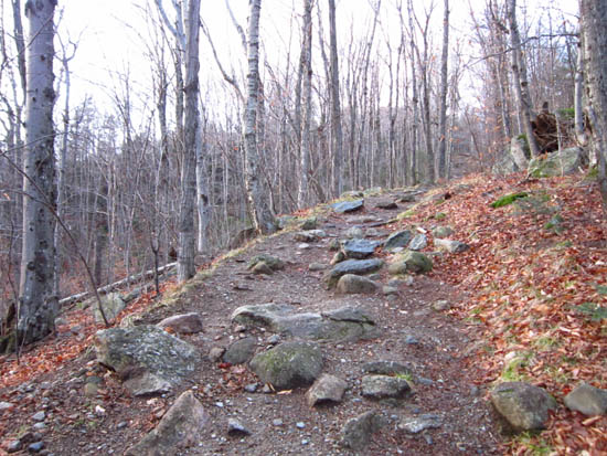
Looking up the Bald Mountain-Artist's Bluff Path
Route: Bald Mountain-Artist's Bluff Path, spur trail, (Bald Mountain), spur trail, Bald Mountain-Artist's Bluff Path
Warm temperatures, no snow.
| Hike Ratings |
|
Getting To Trailhead: |
Easy |
| Destination: |
Bald Mountain |
|
Length: |
Easy |
|
Steepness: |
Difficult |
|
Navigation: |
Easy |
|
Views: |
Excellent |
|
Crowds: |
Minimal |
|
| Hike Stats |
|
Date Hiked: |
Wednesday, November 30, 2011 |
| Parking Elevation: |
2,000' |
| Destination: |
Bald Mountain |
| Time Elapsed: |
00:06 |
| Trailhead Elevation: |
2,000' |
| Summit Elevation: |
2,340' |
| Distance: |
.4 mile |
| Vertical Gain: |
345' |
|
|
| Hike Time Elapsed: |
00:28 |
| Hike Distance: |
.8 mile |
| Hike Vertical Gain: |
350' |
|
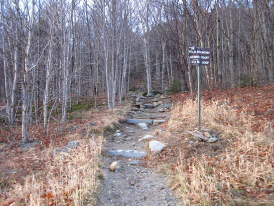
The Bald Mountain-Artist's Bluff Path trailhead
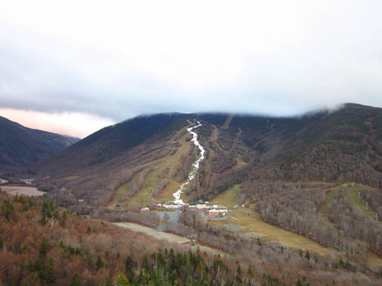
Looking at Cannon Mountain from Bald Mountain

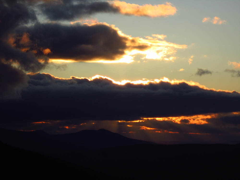
The sunset from Bald Mountain
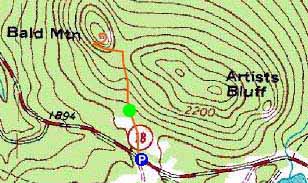

Directions to trailhead: Take I-93 North to the Cannon Mountain (Peabody Slopes, not the Tramway) exit. Directly across from the main Cannon entrance, there is an off-season hiker parking area along the road. The trailhead is at the back of the (fenced off in the off-season) large parking lot.
Back to Bald Mountain Profile
|