Home
States
Colorado
Connecticut
Maine
Massachusetts
New Hampshire
New York
Rhode Island
Utah
Vermont
View All
Lists
NE 4,000 Footers
NE 100 Highest
NH 4,000 Footers
NH 100 Highest
NH 52 With A View
NH Belknap Range
NH Ossipee 10
Links
Trail Conditions
Trip Log
Sunrises
Sunsets
About
|
Bald Mountain
Campton, NH
Trailheads, measurements, times, distances, and maps are all approximate and relative to the hike(s) as shown below.
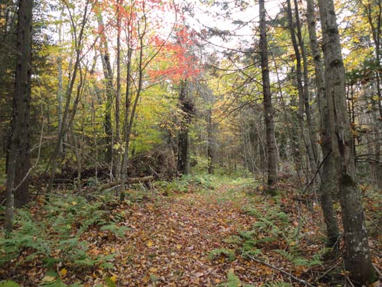
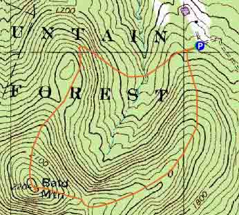
The eastern loop trail to Bald Mountain
Route: Forest Road 438, unknown trail, (Bald Mountain), unknown trail, Forest Road 438
Loop was mostly dry and in decent shape this morning before the rain. There isn't much in way of trail markings, however it's generally easy to follow if one is comfortable with herd path navigation. Only real head scratcher is at the far end of a loop when it reaches a pasture - take a hard right diagonal across the field. Footing is generally good - nice loop for jogging.
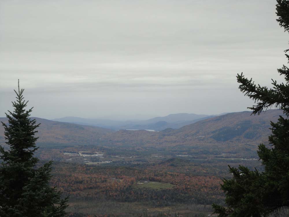
The summit view is narrow, but recently improved. There's a neat look at Newfound Lake, as well as, unfortunately, the Groton Wind Farm. Views of Stinson over the tops of the trees as well.
Foliage is perhaps past peak, but nice.
| Hike Ratings |
|
Getting To Trailhead: |
Easy |
| Destination: |
Bald Mountain |
|
Length: |
Moderate |
|
Steepness: |
Moderate |
|
Navigation: |
Moderate |
|
Views: |
Excellent |
|
Crowds: |
Minimal |
|
| Hike Stats |
|
Date Hiked: |
Sunday, October 6, 2013 |
| Parking Elevation: |
1,670' |
| Destination: |
Bald Mountain |
| Time Elapsed: |
00:21 |
| Trailhead Elevation: |
1,670' |
| Summit Elevation: |
2,204' |
| Distance: |
1.25 miles |
| Vertical Gain: |
594' |
|
|
| Hike Time Elapsed: |
00:49 |
| Hike Vertical Gain: |
674' |
|
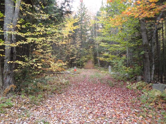
The Forest Road 438 gate at the end of Cook Hill Road
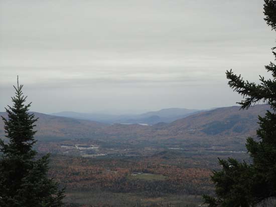
Looking southwest at Newfound Lake from near the summit of Bald Mountain

Directions to trailhead: Take I-93 to Exit 28, then take Route 49 West. Take a left onto US 3 South. Almost immediately thereafter, take a right onto Old Daniel Webster Highway. Shortly thereafter, bear right onto Ellsworth Hill Road. Eventually, with a northern view on the right, take a left onto Mason Road. Eventually reaching a three way junction with Chandler Hill Road, take a right onto Cook Hill Road. Forest Road 438 starts at the end of this road. There is minimal room for parking adjacent to the gate.
Back to Bald Mountain Profile
|