Home
States
Colorado
Connecticut
Maine
Massachusetts
New Hampshire
New York
Rhode Island
Utah
Vermont
View All
Lists
NE 4,000 Footers
NE 100 Highest
NH 4,000 Footers
NH 100 Highest
NH 52 With A View
NH Belknap Range
NH Ossipee 10
Links
Trail Conditions
Trip Log
Sunrises
Sunsets
About
|
Banks Pinnacle
Grafton, NH
Trailheads, measurements, times, distances, and maps are all approximate and relative to the hike(s) as shown below.
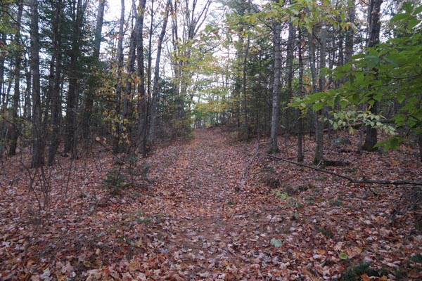
The woods road to Banks Pinnacle
Route: Woods road
Short woods road was mostly dry this morning with some frost. Nice sunrise from the cliff.
| Hike Ratings |
|
Getting To Trailhead: |
Easy |
| Destination: |
Banks Pinnacle |
|
Length: |
Easy |
|
Steepness: |
Easy |
|
Navigation: |
Easy |
|
Views: |
Excellent |
|
Crowds: |
Minimal |
|
| Hike Stats |
|
Date Hiked: |
Monday, October 22, 2018 |
| Parking Elevation: |
1,440' |
| Destination: |
Banks Pinnacle |
| Time Elapsed: |
00:02 |
| Trailhead Elevation: |
1,440' |
| Summit Elevation: |
1,564' |
| Vertical Gain: |
124' |
|
|
| Hike Time Elapsed: |
00:10 |
| Hike Vertical Gain: |
124' |
|
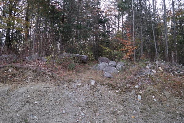
The start of the woods road to Banks Pinnacle
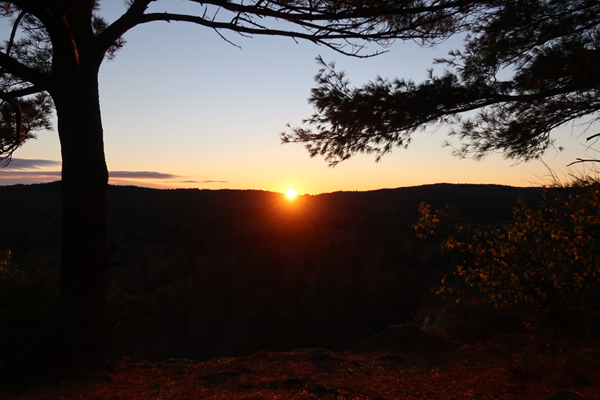
The sunrise from Banks Pinnacle
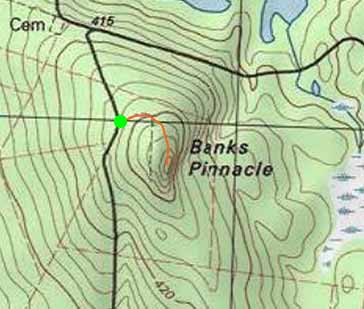

Directions to trailhead: From Wilmot, take US 4A northwest, then take a right onto Hardy Hill Road. The woods road to Banks Pinnacle is located on the right at the height of land.
Back to Banks Pinnacle Profile
|

