Home
States
Colorado
Connecticut
Maine
Massachusetts
New Hampshire
New York
Rhode Island
Utah
Vermont
View All
Lists
NE 4,000 Footers
NE 100 Highest
NH 4,000 Footers
NH 100 Highest
NH 52 With A View
NH Belknap Range
NH Ossipee 10
Links
Trail Conditions
Trip Log
Sunrises
Sunsets
About
|
Barber Mountain
Grafton, NH
Trailheads, measurements, times, distances, and maps are all approximate and relative to the hike(s) as shown below.
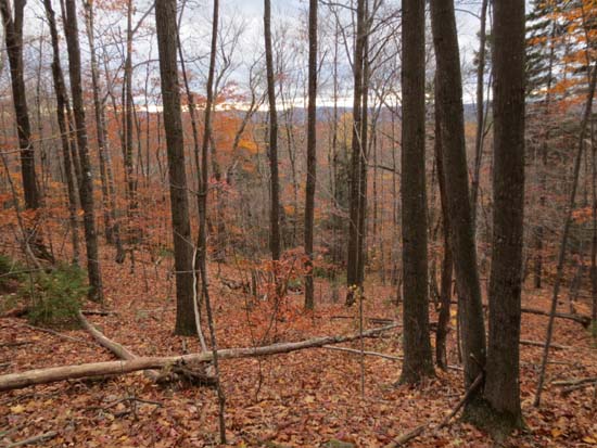
Open woods on the way up Barber Mountain
Route: Logging roads, bushwhacks
I hopped into the woods not too far from the quasi-four way junction and followed some old logging roads for a bit. I then ascended to the ledges from the west in mostly open woods.
Fantastic views from the open ledges near the highpoint. While I found a plaque, a summit sign, a firepit, and occasional cairns, I found no evidence of any trail or herd path - I even walked the circumference of the summit ledges. There are logging roads on the south and east side that show up in the aerial imagery, however they were grown in with prickers and had no sign of any foot traffic.
Considered going over to Melvin as well, but didn't have enough daylight.
Leaves are mostly down.
| Hike Ratings |
|
Getting To Trailhead: |
Moderate |
| Destination: |
Barber Mountain |
|
Length: |
Moderate |
|
Steepness: |
Moderate |
|
Navigation: |
Difficult |
|
Views: |
Excellent |
|
Crowds: |
Minimal |
|
| Hike Stats |
|
Date Hiked: |
Thursday, October 24, 2013 |
| Parking Elevation: |
1,449' |
| Destination: |
Barber Mountain |
| Time Elapsed: |
00:31 |
| Trailhead Elevation: |
1,450' |
| Summit Elevation: |
2,166' |
| Vertical Gain: |
741' |
|
|
| Hike Time Elapsed: |
01:20 |
| Hike Vertical Gain: |
791' |
|

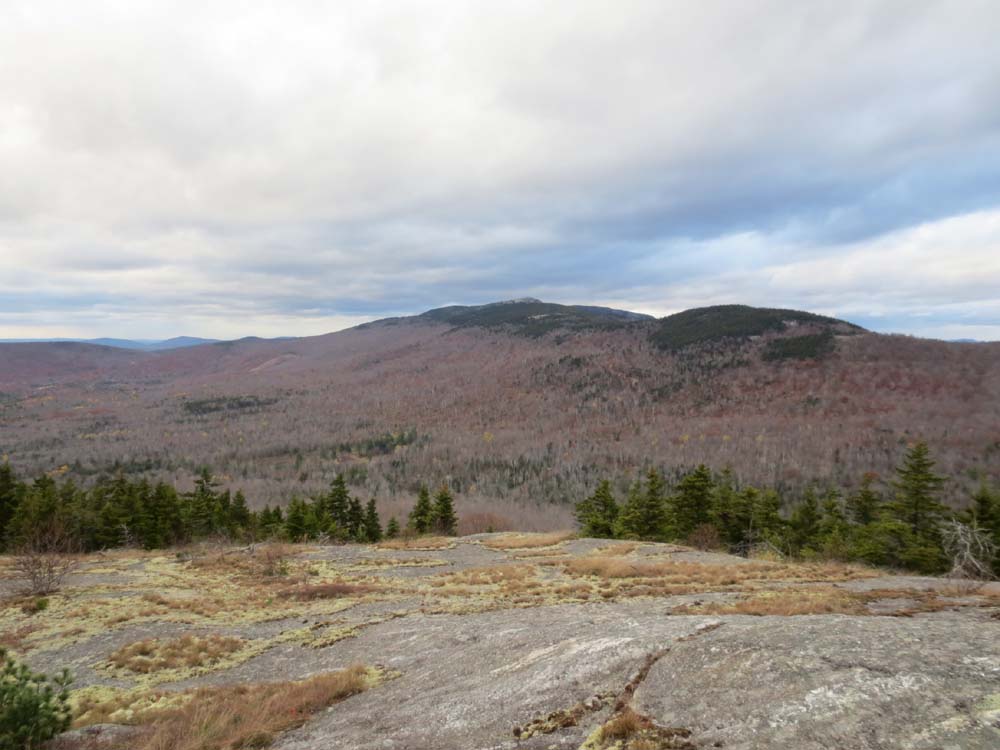
Looking at Cardigan, Orange, and Crane from the Barber Mountain ledges
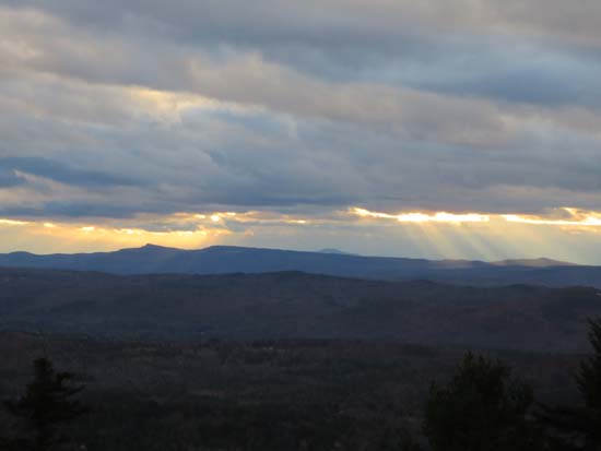
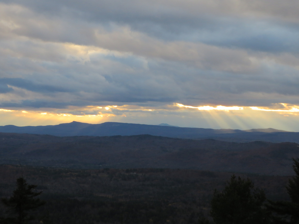
Early sunset colors from Barber Mountain
Directions to trailhead: From Danbury, take US 4 west, then take a right onto Turnpike Road. Take a right onto Wild Meadow Road. Take a left onto Gifford Hill Road.
Back to Barber Mountain Profile
|