Home
States
Colorado
Connecticut
Maine
Massachusetts
New Hampshire
New York
Rhode Island
Utah
Vermont
View All
Lists
NE 4,000 Footers
NE 100 Highest
NH 4,000 Footers
NH 100 Highest
NH 52 With A View
NH Belknap Range
NH Ossipee 10
Links
Trail Conditions
Trip Log
Sunrises
Sunsets
About
|
Bartlett Mountain
Bartlett, NH
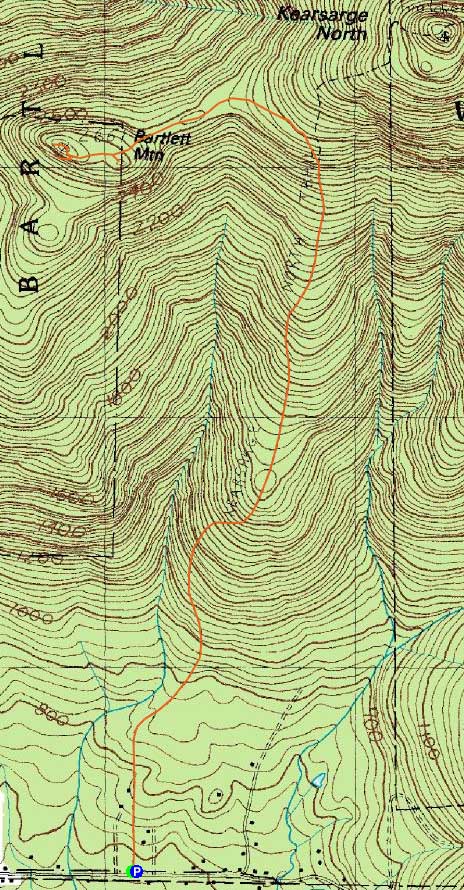
Trailheads, measurements, times, distances, and maps are all approximate and relative to the hike(s) as shown below.
Looking up the Kearsarge North Trail
Route: Kearsarge North Trail, Bartlett Path, (Bartlett Mountain), Bartlett Path, Kearsarge North Trail
On the way north, I was weighing a few different sunset options - Mt. Crawford, Mt. Willey, Imp Face, and Bartlett Mountain. With afternoon hike options becoming very limited quite soon due to the clock change, I decided to go for Bartlett Mountain.
The first portion of the Kearsarge North Trail was a bit muddy (as usual), however the rest of it was in good shape, save for some wet ledges. At the top of the ledges, I took a left at a fork in the trail (old white blaze, log across the Bartlett Path entrance).
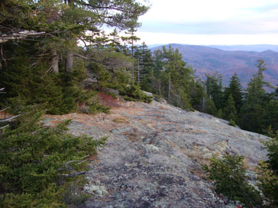
The Bartlett Path was generally in pretty good shape, other than some blowdowns. Reaching the southwestern ledges, I had excellent views - though I was vexed to see dark clouds looming in the horizon. After crossing over the summit, I headed out to the vast western ledges for some additional views.
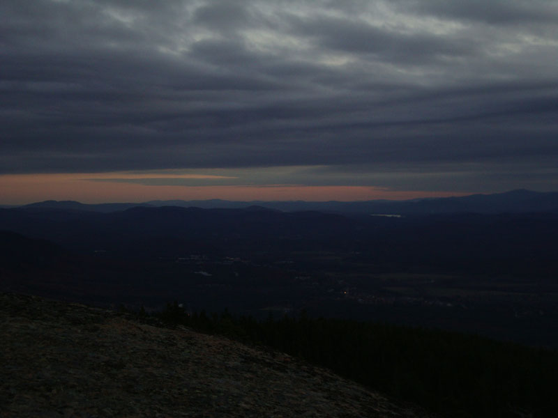
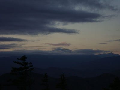
After some exploring around the ledges and perhaps an abandoned ski trail, I returned to the summit and ended up without much of a sunset - just some horizon colors to the south. Perhaps another day.
| Hike Ratings |
|
Getting To Trailhead: |
Easy |
| Destination: |
Bartlett Mountain |
|
Length: |
Moderate |
|
Steepness: |
Difficult |
|
Navigation: |
Moderate |
|
Views: |
Excellent |
|
Crowds: |
Minimal |
|
| Hike Stats |
|
Date Hiked: |
Thursday, October 29, 2009 |
| Hike Commenced: |
3:41 PM |
| Parking Elevation: |
685' |
| Destination: |
Bartlett Mountain |
| Ascent Commenced: |
3:41 PM |
| Summit Reached: |
5:05 PM |
| Time Elapsed: |
01:24 |
| Trailhead Elevation: |
685' |
| Summit Elevation: |
2,661' |
| Vertical Gain: |
2,222' |
|
|
| Hike Ended: |
7:12 PM |
| Hike Time Elapsed: |
03:31 |
| Hike Vertical Gain: |
2,475' |
|
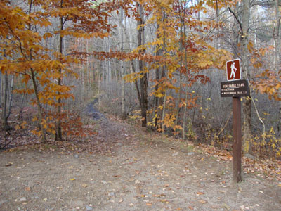
Kearsarge North Trail trailhead on Hurricane Mountain Road
The Bartlett Path near the summit
Looking at Mt. Washington from the Bartlett Mountain ledges
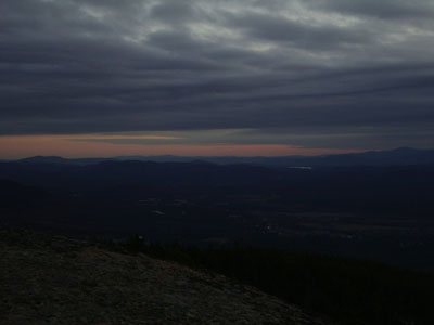
Slight sunset colors as seen from the Bartlett Mountain Ledges
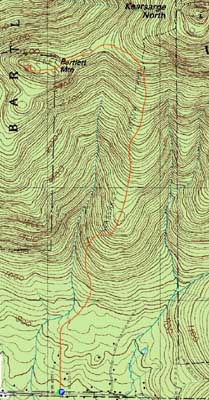

Directions to trailhead: On Route 16 North, take a right after North Conway onto Hurricane Mountain Road. The Kearsarge North Trail trailhead and small parking lot will be up the road on the left (before the fork in the road).
Back to Bartlett Mountain Profile
|