Home
States
Colorado
Connecticut
Maine
Massachusetts
New Hampshire
New York
Rhode Island
Utah
Vermont
View All
Lists
NE 4,000 Footers
NE 100 Highest
NH 4,000 Footers
NH 100 Highest
NH 52 With A View
NH Belknap Range
NH Ossipee 10
Links
Trail Conditions
Trip Log
Sunrises
Sunsets
About
|
Bartlett Mountain
Bartlett, NH
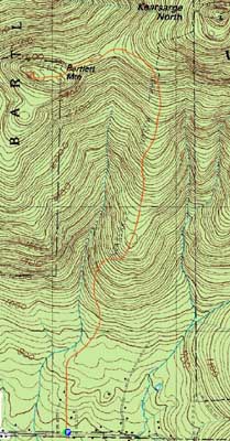
Trailheads, measurements, times, distances, and maps are all approximate and relative to the hike(s) as shown below.
Looking up the Kearsarge North Trail
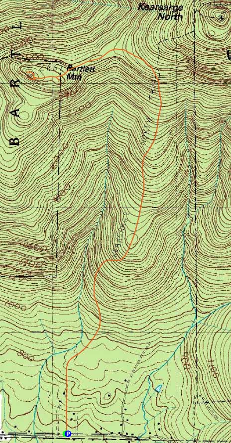
Route: Kearsarge North Trail, Bartlett Path, (Bartlett Mountain), Bartlett Path, Kearsarge North Trail
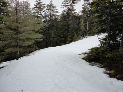
Though it was lightly raining at the trailhead, the forecast called for gradual clearing by sunset. While the first portion of the Kearsarge North Trail was bare, there was patchy snow near the first switchback. Reaching the top of the ledges, we donned snowshoes and headed along the ridge to Barlett Mountain, generally following the route of the old Bartlett Path.
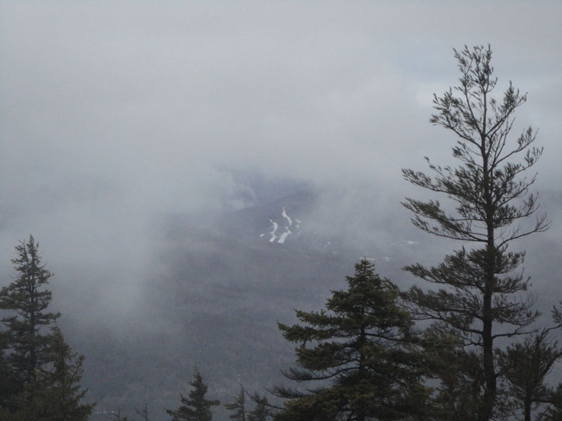
After passing over the summit, we headed over to the northwest ledges. While we had passing views of the Jackson area, no sunset colors were to be had.
As we headed back across the ridge, the skies cleared, resulting in a nice, starlit descent with the lights of Conway in the distance.
| Hike Ratings |
|
Getting To Trailhead: |
Easy |
| Destination: |
Bartlett Mountain |
|
Length: |
Moderate |
|
Steepness: |
Difficult |
|
Navigation: |
Difficult |
|
Views: |
Moderate (due to weather) |
|
Crowds: |
Minimal |
|
| Hike Stats |
|
Date Hiked: |
Wednesday, March 31, 2010 |
| Hike Commenced: |
3:10 PM |
| Parking Elevation: |
685' |
| Destination: |
Bartlett Mountain |
| Ascent Commenced: |
3:10 PM |
| Summit Reached: |
5:35 PM |
| Time Elapsed: |
02:25 |
| Trailhead Elevation: |
685' |
| Summit Elevation: |
2,661' |
| Vertical Gain: |
2,222' |
|
|
| Hike Ended: |
8:41 PM |
| Hike Time Elapsed: |
05:31 |
| Hike Vertical Gain: |
2,475' |
|
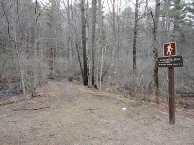
Kearsarge North Trail trailhead on Hurricane Mountain Road
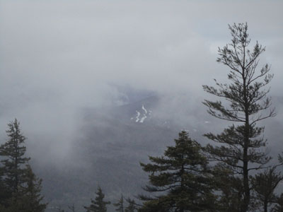
Black Mountain ski area as seen from the Bartlett Mountain ledges

Directions to trailhead: On Route 16 North, take a right after North Conway onto Hurricane Mountain Road. The Kearsarge North Trail trailhead and small parking lot will be up the road on the left (before the fork in the road).
Back to Bartlett Mountain Profile
|