Home
States
Colorado
Connecticut
Maine
Massachusetts
New Hampshire
New York
Rhode Island
Utah
Vermont
View All
Lists
NE 4,000 Footers
NE 100 Highest
NH 4,000 Footers
NH 100 Highest
NH 52 With A View
NH Belknap Range
NH Ossipee 10
Links
Trail Conditions
Trip Log
Sunrises
Sunsets
About
|
Bayle Mountain
Ossipee, NH
Trailheads, measurements, times, distances, and maps are all approximate and relative to the hike(s) as shown below.
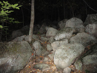
Looking up the trail to Bayle Mountain
Route: Unknown snowmobile trail, red blazed trail, (Bayle Mountain), red blazed trail, unknown snowmobile trail
With limited morning time to hike, I decided to head over to Bayle Mountain for the sunrise, something I had wanted to do for a few years.
Starting in the dark, I headed up the Bayle Mountain Trail with headlamp on. The waning near-full moon provided some additional backlight. Despite being late September, the weather was warm and humid.
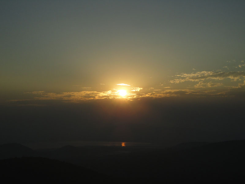
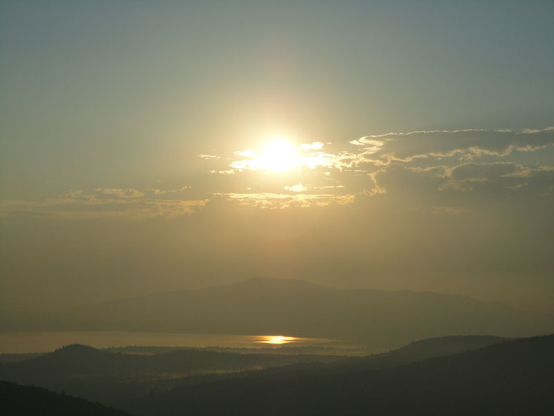
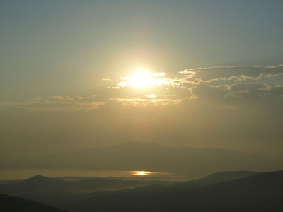
Reaching the summit, I could see there were clouds on the horizon, which would either provide for great or bland colors.
The sunrise tended to be the latter, with a few brief displays of color separated by blocked out light that almost resulted in me heading down a few times. Nonetheless, the lifting valley fog was a nice sight.
Near the bottom of the descent, I was suddenly attacked by some ground bees, fortunately only getting stung maybe three times.
| Hike Ratings |
|
Getting To Trailhead: |
Moderate |
| Destination: |
Bayle Mountain |
|
Length: |
Moderate |
|
Steepness: |
Difficult |
|
Navigation: |
Easy |
|
Views: |
Excellent |
|
Crowds: |
Minimal |
|
| Hike Stats |
|
Date Hiked: |
Saturday, September 25, 2010 |
| Hike Commenced: |
5:23 AM |
| Parking Elevation: |
1,040' |
| Destination: |
Bayle Mountain |
| Time Elapsed: |
00:21 |
| Trailhead Elevation: |
1,100' |
| Summit Elevation: |
1,853' |
| Vertical Gain: |
763' |
|
|
| Hike Time Elapsed: |
02:19 |
| Hike Vertical Gain: |
873' |
|
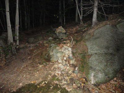
The trailhead to the trail to the Bayle Mountain summit
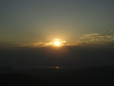
Sunrise over Ossipee Lake as seen from Bayle Mountain
Looking at Green Mountain from Bayle Mountain
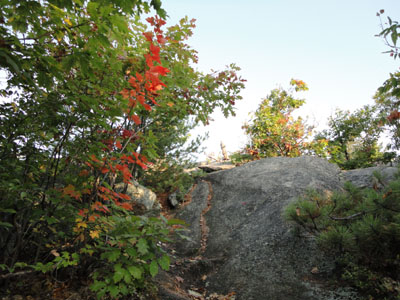
Looking up the trail to Bayle Mountain
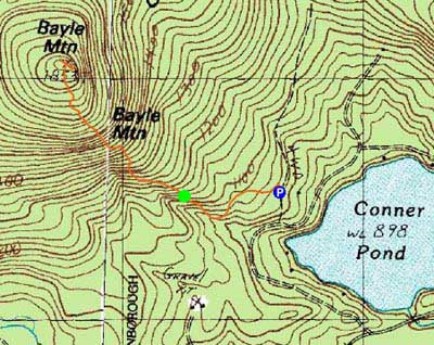

Directions to trailhead: From Route 16 South in West Ossipee, take a right onto Pine Hill Road. At the end of Pine Hill Road, take a right onto Ossipee Mountain Road. 2015 update: There is now a parking area off Marble Road, past Connor Pond.
Back to Bayle Mountain Profile
|