Home
States
Colorado
Connecticut
Maine
Massachusetts
New Hampshire
New York
Rhode Island
Utah
Vermont
View All
Lists
NE 4,000 Footers
NE 100 Highest
NH 4,000 Footers
NH 100 Highest
NH 52 With A View
NH Belknap Range
NH Ossipee 10
Links
Trail Conditions
Trip Log
Sunrises
Sunsets
About
|
Beech Hill
Keene, NH
Trailheads, measurements, times, distances, and maps are all approximate and relative to the hike(s) as shown below.
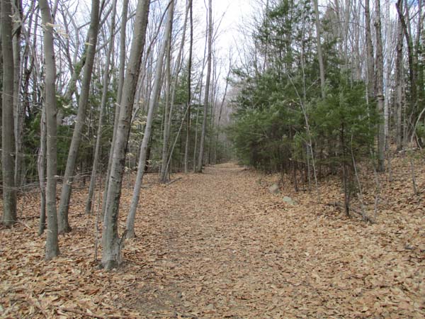
The path to the Beech Hill vista
Route: Access road, herd path, unnamed trail
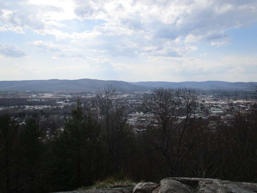
The gated paved access road was dry. Realized when I reached the summit that I must have missed the views. So, in hindsight, shortly after passing a water tank, look for somewhat wide path that goes straight when the paved road bears uphill to the left. This path gradually descends to a ledge that looks west at Keene.
Encountered no snow.
| Hike Ratings |
|
Getting To Trailhead: |
Easy |
| Destination: |
Beech Hill |
|
Length: |
Easy |
|
Steepness: |
Easy |
|
Navigation: |
Moderate |
|
Views: |
Excellent |
|
Crowds: |
Moderate |
|
| Hike Stats |
|
Date Hiked: |
Sunday, April 16, 2017 |
| Parking Elevation: |
900' |
| Destination: |
Beech Hill |
| Time Elapsed: |
00:04 |
| Trailhead Elevation: |
900' |
| Summit Elevation: |
1,050' |
| Vertical Gain: |
150' |
|
|
| Hike Time Elapsed: |
00:16 |
| Hike Vertical Gain: |
180' |
|

The start of the access road
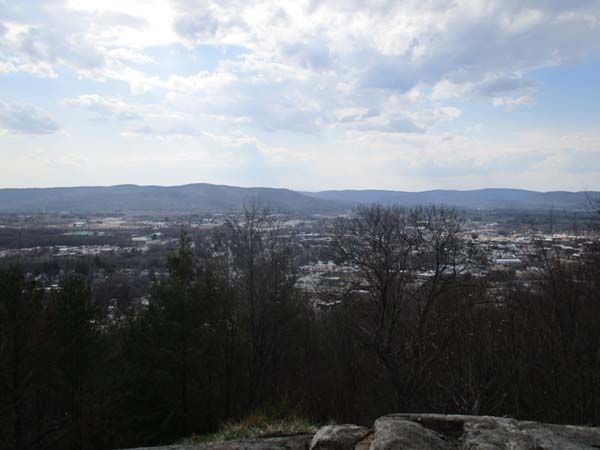
Looking at Keene from the Beech Hill vista
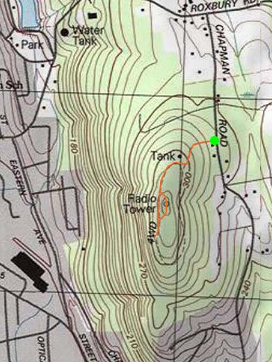

Directions to trailhead: There is limited room to park on the shoulder of Chapman Road in Keene near the height of land/start of the gated access road
Back to Beech Hill Profile
|