Home
States
Colorado
Connecticut
Maine
Massachusetts
New Hampshire
New York
Rhode Island
Utah
Vermont
View All
Lists
NE 4,000 Footers
NE 100 Highest
NH 4,000 Footers
NH 100 Highest
NH 52 With A View
NH Belknap Range
NH Ossipee 10
Links
Trail Conditions
Trip Log
Sunrises
Sunsets
About
|
Blue Ridge (Middle Peak), Blue Ridge (North Peak), Mt. Wolf
Woodstock, NH, Lincoln, NH
Trailheads, measurements, times, distances, and maps are all approximate and relative to the hike(s) as shown below.
The Kinsman Ridge Trail trailhead on Route 112
Route: Kinsman Ridge Trail, (Blue Ridge Middle Peak), Kinsman Ridge Trail, bushwhack, (Blue Ridge North Peak), bushwhack, Kinsman Ridge Trail, bushwhack, (Mt. Wolf)
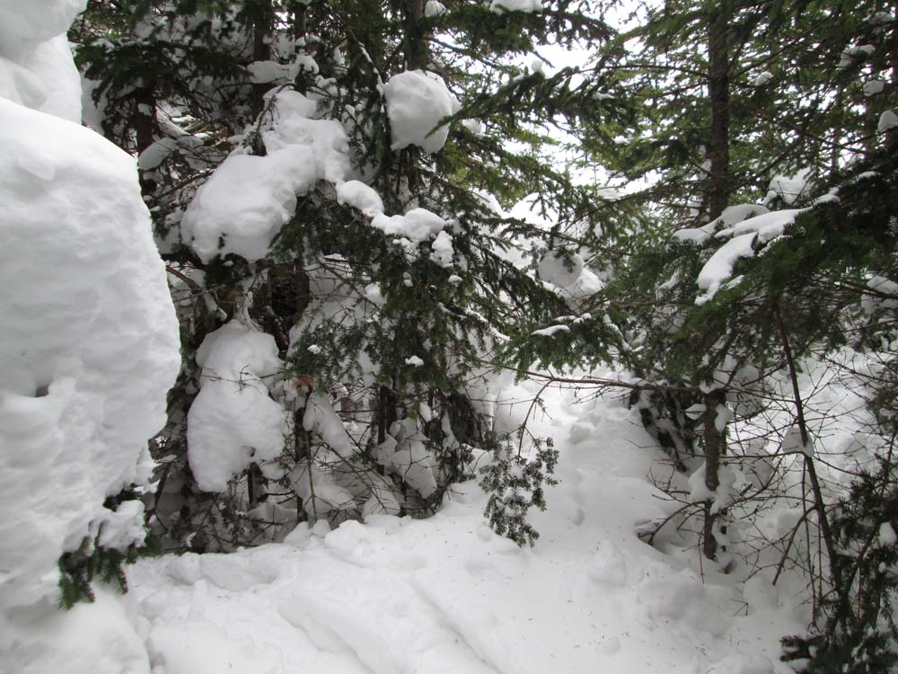
Kinsman Ridge Trail was not broken out, so it was slow going up the steeps from Route 112. Another party came in part way during the day, so the initial segment is somewhat packed out for snowshoe use. Variation of powder, granular, and somewhat firm drifting. Snowpack probably 3-4 feet.
Trail was quite hard to follow in some areas due to minimal/faded/white blazes, as well as open woods and blowdowns. Also areas of extremely deep snow, in which top brushed branches are just above the snowpack.
We also did a short bushwhack to the North Peak of Blue Ridge (ie point 3,009; west of the trail), which was surrounded in snow laden spruce.
No sign of any traffic coming up the Gordon Pond Trail, but we could see some tracks on the pond itself.
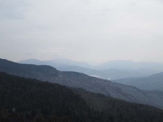
We also did the very short bushwhack to the once recognized highpoint of Mt. Wolf (the middle of three bumps on the USGS), but found no evidence of the old jar. Thanks in part to the snowpack, the viewpoint on point 3,478 was fantastic.
No sign of any traffic coming to Wolf from the north.
| Hike Ratings |
|
Getting To Trailhead: |
Easy |
| Destination: |
Blue Ridge (Middle Peak) |
|
Length: |
Moderate |
|
Steepness: |
Difficult |
|
Navigation: |
Difficult |
|
Views: |
Excellent |
|
Crowds: |
Minimal |
| Destination: |
Blue Ridge (North Peak) |
|
Length: |
Moderate |
|
Steepness: |
Difficult |
|
Navigation: |
Difficult |
|
Views: |
Minimal |
|
Crowds: |
Minimal |
| Destination: |
Mt. Wolf |
|
Length: |
Moderate |
|
Steepness: |
Difficult |
|
Navigation: |
Difficult |
|
Views: |
Excellent |
|
Crowds: |
Minimal |
|
| Hike Stats |
|
Date Hiked: |
Sunday, March 8, 2015 |
| Parking Elevation: |
1,870' |
| Destination: |
Blue Ridge (Middle Peak) |
| Time Elapsed: |
01:06 |
| Trailhead Elevation: |
1,870' |
| Summit Elevation: |
2,740' |
| Vertical Gain: |
870' |
| Destination: |
Blue Ridge (North Peak) |
| Time Elapsed: |
02:15 |
| Trailhead Elevation: |
2,740' |
| Summit Elevation: |
3,009' |
| Vertical Gain: |
709' |
| Destination: |
Mt. Wolf |
| Time Elapsed: |
01:55 |
| Trailhead Elevation: |
3,009' |
| Summit Elevation: |
3,500' |
| Vertical Gain: |
750' |
|
|
| Hike Time Elapsed: |
08:32 |
| Hike Vertical Gain: |
2,929' |
|
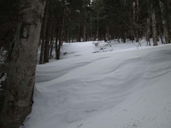
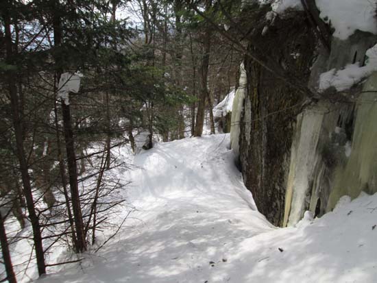
The drifted Kinsman Ridge Trail
Looking down Kinsman Notch from near the summit of Blue Ridge Middle Peak
The Kinsman Ridge Trail on the way to Blue Ridge North Peak

A lack of views on Blue Ridge North Peak

The Kinsman Ridge Trail on the way to Mt. Wolf

Looking at the Franconia Ridge from the Mt. Wolf viewpoint
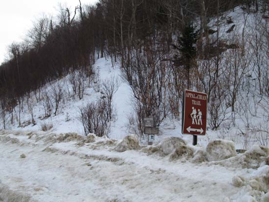
Directions to trailhead: Take Route 112 West from Lincoln to the Lost River area. WMNF fee parking lot just after Lost River parking, on the left side of the road.
Back to Blue Ridge Middle Peak Profile
Back to Blue Ridge North Peak Profile
Back to Mt. Wolf Profile
|