Home
States
Colorado
Connecticut
Maine
Massachusetts
New Hampshire
New York
Rhode Island
Utah
Vermont
View All
Lists
NE 4,000 Footers
NE 100 Highest
NH 4,000 Footers
NH 100 Highest
NH 52 With A View
NH Belknap Range
NH Ossipee 10
Links
Trail Conditions
Trip Log
Sunrises
Sunsets
About
|
Cannon Mountain
Franconia, NH
Trailheads, measurements, times, distances, and maps are all approximate and relative to the hike(s) as shown below.
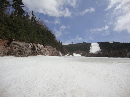
Looking up a ski trail
For the second hike of the day, we headed up to Cannon. Being that it was a holiday, we knew we wouldn't get hastled for hiking on our taxpayer property. With top to bottom snow coverage, it was a smooth snowshoe to the summit and back on the closed ski trails.
| Hike Ratings |
|
Getting To Trailhead: |
Moderate |
| Destination: |
Cannon Mountain |
|
Length: |
Moderate |
|
Steepness: |
Difficult |
|
Navigation: |
Easy |
|
Views: |
Excellent |
|
Crowds: |
Moderate |
|
| Hike Stats |
|
Date Hiked: |
Sunday, April 24, 2011 |
| Time to Trailhead: |
00:08 |
| Parking Elevation: |
1,980' |
| Destination: |
Cannon Mountain |
| Time Elapsed: |
01:06 |
| Trailhead Elevation: |
2,040' |
| Summit Elevation: |
4,100' |
| Vertical Gain: |
2,060' |
|
|
| Hike Time Elapsed: |
02:25 |
| Hike Vertical Gain: |
2,060' |
|
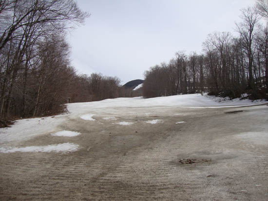
The bottom of a ski trail
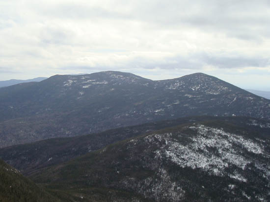
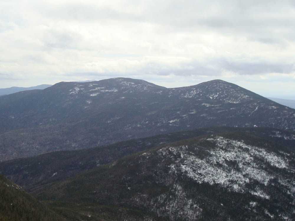
Looking at the Kinsmans from the Cannon Mountain observation deck
Back to Cannon Mountain Profile
|