Home
States
Colorado
Connecticut
Maine
Massachusetts
New Hampshire
New York
Rhode Island
Utah
Vermont
View All
Lists
NE 4,000 Footers
NE 100 Highest
NH 4,000 Footers
NH 100 Highest
NH 52 With A View
NH Belknap Range
NH Ossipee 10
Links
Trail Conditions
Trip Log
Sunrises
Sunsets
About
|
Cannon Mountain
Franconia, NH
Trailheads, measurements, times, distances, and maps are all approximate and relative to the hike(s) as shown below.
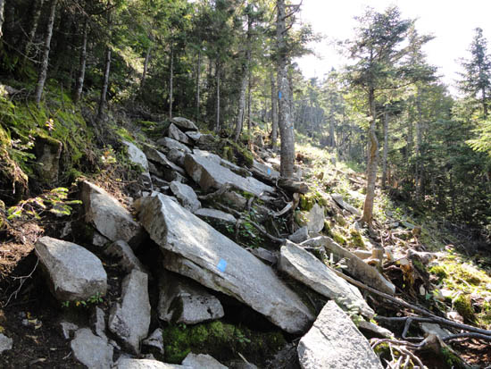
Kinsman Ridge Trail
Clear views. Wet/muddy trail in places.
| Hike Ratings |
|
Getting To Trailhead: |
Easy |
| Destination: |
Cannon Mountain |
|
Length: |
Moderate |
|
Steepness: |
Very Difficult |
|
Navigation: |
Easy |
|
Views: |
Excellent |
|
Crowds: |
Heavy |
|
| Hike Stats |
|
Date Hiked: |
Friday, September 2, 2011 |
| Time to Trailhead: |
00:03 |
| Parking Elevation: |
1,965' |
| Destination: |
Cannon Mountain |
| Time Elapsed: |
01:54 |
| Trailhead Elevation: |
1,975' |
| Summit Elevation: |
4,100' |
| Vertical Gain: |
2,270' |
|
|
| Hike Vertical Gain: |
2,425' |
|
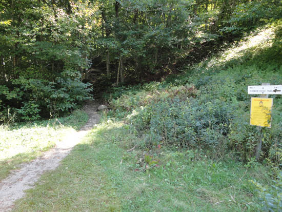
Kinsman Ridge Trail trailhead near the base of the tramway
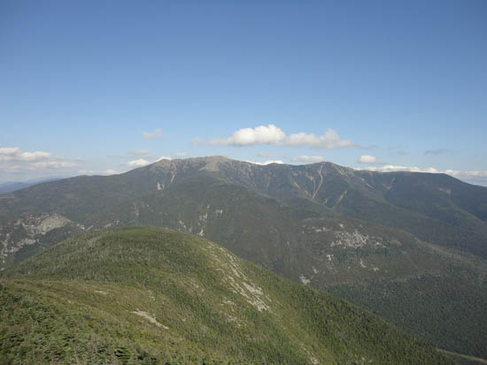
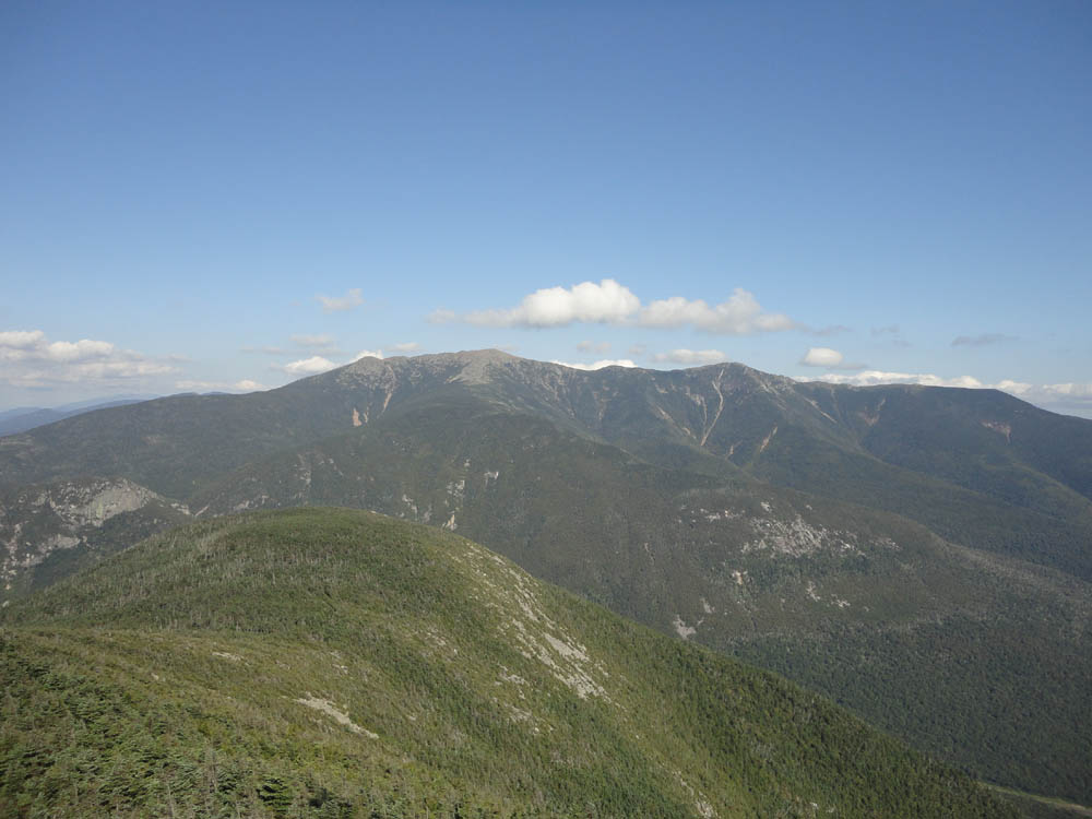
Looking at the Franconia Ridge from the Cannon Mountain observation tower
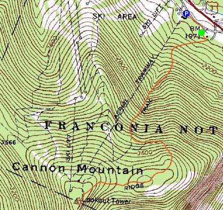

Directions to trailhead: Take I-93 North to the Cannon Mountain Tramway exit. The dirt road to the trailhead is to the left when looking at the mountain from the parking lot.
Back to Cannon Mountain Profile
|