Home
States
Colorado
Connecticut
Maine
Massachusetts
New Hampshire
New York
Rhode Island
Utah
Vermont
View All
Lists
NE 4,000 Footers
NE 100 Highest
NH 4,000 Footers
NH 100 Highest
NH 52 With A View
NH Belknap Range
NH Ossipee 10
Links
Trail Conditions
Trip Log
Sunrises
Sunsets
About
|
Carr Mountain
Warren, NH, Wentworth, NH
Trailheads, measurements, times, distances, and maps are all approximate and relative to the hike(s) as shown below.
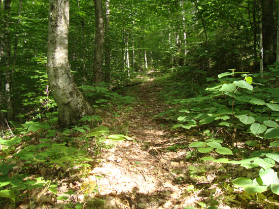
Looking up the Carr Mountain Trail
Route: Carr Mountain Trail, (Carr Mountain), Carr Mountain Trail, Waternomee Falls Spur Trail, Carr Mountain Trail
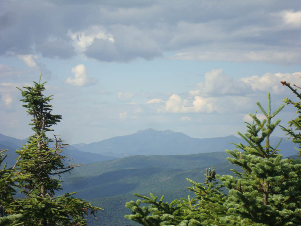
The Carr Mountain Trail was fairly bland and certainly not heavily travelled. The views from the summit ledges and fire tower footings were decent, though continuing to grow in.
The Waternomee Falls Spur was very vague after crossing a smaller cascade. The falls were fairly small, but still running during this dry spell.
| Hike Ratings |
|
Getting To Trailhead: |
Easy |
| Destination: |
Carr Mountain |
|
Length: |
Moderate |
|
Steepness: |
Difficult |
|
Navigation: |
Easy |
|
Views: |
Excellent |
|
Crowds: |
Minimal |
|
| Hike Stats |
|
Date Hiked: |
Friday, July 15, 2011 |
| Parking Elevation: |
800' |
| Destination: |
Carr Mountain |
| Time Elapsed: |
01:18 |
| Trailhead Elevation: |
880' |
| Summit Elevation: |
3,453' |
| Distance: |
2.9 miles |
| Vertical Gain: |
2,598' |
|
|
| Hike Time Elapsed: |
02:49 |
| Hike Vertical Gain: |
2,798' |
|
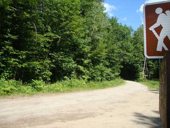
The Carr Mountain Trail trailhead on Clifford Brook Trail
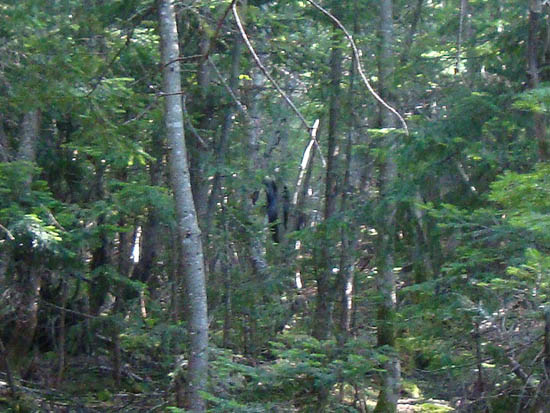
Following a moose up the Carr Mountain Trail
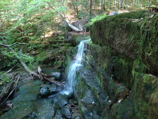
Waternomee Falls
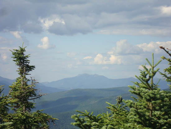
The Franconia Ridge as seen from Carr Mountain
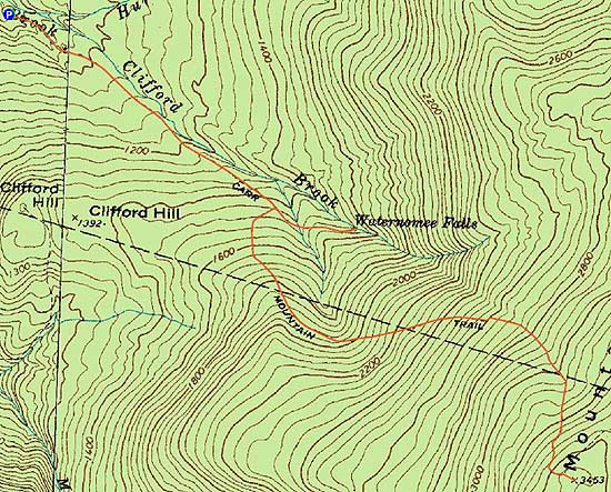

Directions to trailhead: Take Route 25 West past Wentworth. Prior to reaching Warren, take a right onto the state Fish Hatchery access road. Rather than passing through the gate, take a right, then very shortly thereafter, take a left onto Clifford Brook Road. Bearing right at a junction, the Carr Mountain Trail small parking area will be on the right shortly thereafter. The trail starts as a roadwalk.
Back to Carr Mountain Profile
|