Home
States
Colorado
Connecticut
Maine
Massachusetts
New Hampshire
New York
Rhode Island
Utah
Vermont
View All
Lists
NE 4,000 Footers
NE 100 Highest
NH 4,000 Footers
NH 100 Highest
NH 52 With A View
NH Belknap Range
NH Ossipee 10
Links
Trail Conditions
Trip Log
Sunrises
Sunsets
About
|
Catamount Hill
Allenstown, NH
Trailheads, measurements, times, distances, and maps are all approximate and relative to the hike(s) as shown below.
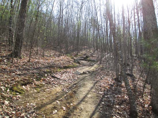
Looking up the Catamount Trail
Route: One Mile Trail, Catamount Trail, Cascade Trail, logging road
Catamount Hill in Bear Brook State Park.
Trails were dry and snow free. A little bit confusing east of Catamount Hill, where there is some logging. Basically decided to follow the logging road back toward the parking lot, which worked out fine.
Saw my first wildflowers of the season (trailing arbutus)...spring must be here!
| Hike Ratings |
|
Getting To Trailhead: |
Easy |
| Destination: |
Catamount Hill |
|
Length: |
Easy |
|
Steepness: |
Moderate |
|
Navigation: |
Easy |
|
Views: |
Excellent |
|
Crowds: |
Moderate |
|
| Hike Stats |
|
Date Hiked: |
Monday, April 21, 2014 |
| Parking Elevation: |
330' |
| Destination: |
Catamount Hill |
| Time Elapsed: |
00:30 |
| Trailhead Elevation: |
330' |
| Summit Elevation: |
721' |
| Vertical Gain: |
441' |
|
|
| Hike Time Elapsed: |
01:30 |
| Hike Vertical Gain: |
591' |
|
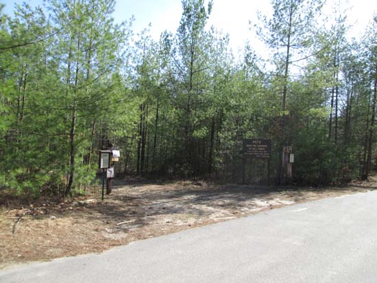
The One Mile Trail trailhead on Deerfield Road
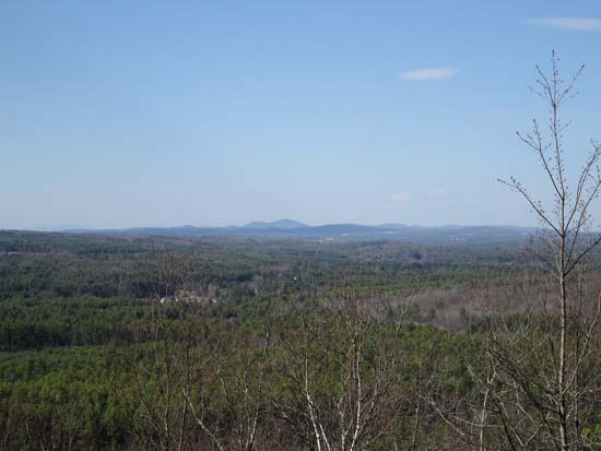
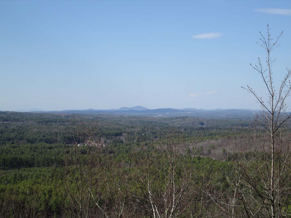
A northern viewpoint on Catamount Hill
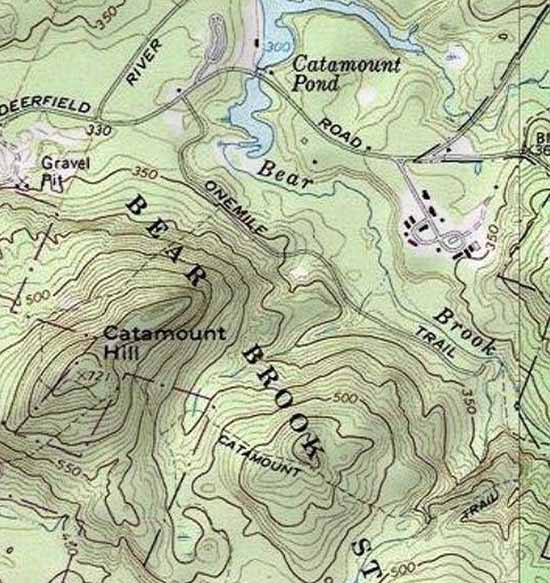

Directions to trailhead: From US 3 in Suncook, take Route 28 North, then take a right onto Deerfield Road. The Catamount Pond parking area will soon be on the left. A fee may be charged during peak times.
Back to Catamount Hill Profile
|