Home
States
Colorado
Connecticut
Maine
Massachusetts
New Hampshire
New York
Rhode Island
Utah
Vermont
View All
Lists
NE 4,000 Footers
NE 100 Highest
NH 4,000 Footers
NH 100 Highest
NH 52 With A View
NH Belknap Range
NH Ossipee 10
Links
Trail Conditions
Trip Log
Sunrises
Sunsets
About
|
Craney Hill
Henniker, NH
Trailheads, measurements, times, distances, and maps are all approximate and relative to the hike(s) as shown below.
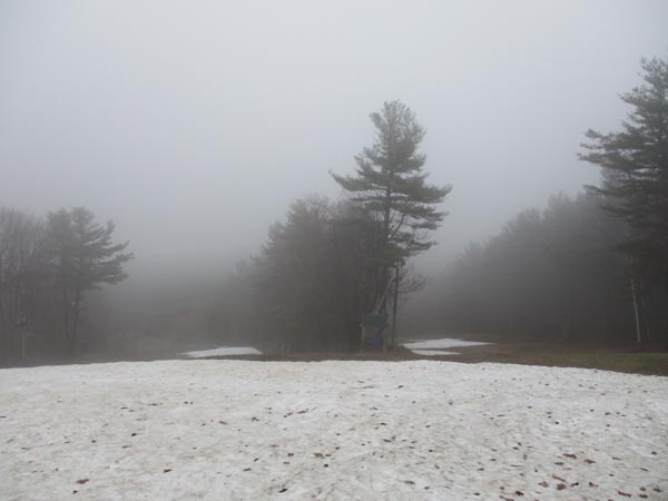
Looking down one of the ski trails
Route: Ski trails, unnamed path
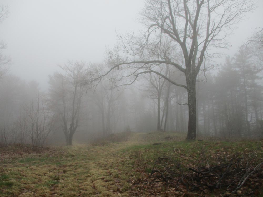
Jogged the gravel access road that weaves up the ski area. The road is well built, so it wasn't muddy (despite the rain). One patch of snow remaining on the road (lots of other patches on the ski trails; multiple turns still possible). From the top of Cascade Basin, I followed the herd path up to the fire tower, which is locked above the first flight of stairs.
| Hike Ratings |
|
Getting To Trailhead: |
Easy |
| Destination: |
Craney Hill |
|
Length: |
Moderate |
|
Steepness: |
Moderate |
|
Navigation: |
Moderate |
|
Views: |
Minimal |
|
Crowds: |
Minimal |
|
| Hike Stats |
|
Date Hiked: |
Friday, May 3, 2019 |
| Parking Elevation: |
580' |
| Destination: |
Craney Hill |
| Time Elapsed: |
00:23 |
| Trailhead Elevation: |
580' |
| Summit Elevation: |
1,402' |
| Vertical Gain: |
852' |
|
|
| Hike Time Elapsed: |
00:57 |
| Hike Vertical Gain: |
882' |
|

Fog atop Craney Hill
Directions to trailhead: Pats Peak ski area is located off Flanders Road off Route 114 in Henniker.
Back to Craney Hill Profile
|