Home
States
Colorado
Connecticut
Maine
Massachusetts
New Hampshire
New York
Rhode Island
Utah
Vermont
View All
Lists
NE 4,000 Footers
NE 100 Highest
NH 4,000 Footers
NH 100 Highest
NH 52 With A View
NH Belknap Range
NH Ossipee 10
Links
Trail Conditions
Trip Log
Sunrises
Sunsets
About
|
Crows Nest, Mt. Cabot
Shelburne, NH
Trailheads, measurements, times, distances, and maps are all approximate and relative to the hike(s) as shown below.
The White Trail
Route: White Trail, Wiggin Trail, Blue Trail, Judson Pond Trail, Red Trail, Yellow-Red Connector, Yellow Trail
No snow or ice encountered on any of these trails.
The White Trail no longer ends at so-so view. Rather, it continues past this view, loops to another quasi-view, then over the cairned summit, and back to the original trail just a little bit before the so-so view. Footbed on the new loop is not too well established, but it was well blazed (I recollect white).
Blue Trail up Cabot was leafy in blazes, making it slippery. Bumps into a clearcut briefly, but not issues with following the trail. Nice views from the view loop just below the summit.
Judson Pond Spur was a little tricky to follow, as the footbed isn't well established and the blazes appear to vary with the actual trail (and lead you into mud). Higher up, it crosses a recent logging road.
Doubling back up Cabot, we descended the Red Trail, which was also slippery from the deep leaves. We took a right onto the Yellow-Red Connector (not on the maps as of a few years ago), then took the Yellow Trail over to the Scudder junction, then doubled back on the Yellow, took a brief detour up Red, then down past the cottages. Smooth sailing on those gradual lower trails.
Only saw two other hikers the entire morning. Sunny to start, but increasing clouds made it a little chilly by lunch time.
| Hike Ratings |
|
Getting To Trailhead: |
Moderate |
| Destination: |
Crows Nest |
|
Length: |
Moderate |
|
Steepness: |
Moderate |
|
Navigation: |
Easy |
|
Views: |
Minimal |
|
Crowds: |
Minimal |
| Destination: |
Mt. Cabot |
|
Length: |
Moderate |
|
Steepness: |
Difficult |
|
Navigation: |
Moderate |
|
Views: |
Excellent |
|
Crowds: |
Minimal |
|
| Hike Stats |
|
Date Hiked: |
Sunday, November 22, 2020 |
| Parking Elevation: |
700' |
| Destination: |
Crows Nest |
| Time Elapsed: |
00:40 |
| Trailhead Elevation: |
700' |
| Summit Elevation: |
1,287' |
| Vertical Gain: |
637' |
| Destination: |
Mt. Cabot |
| Time Elapsed: |
01:33 |
| Trailhead Elevation: |
1,287' |
| Summit Elevation: |
1,512' |
| Vertical Gain: |
762' |
|
|
| Hike Time Elapsed: |
01:52 |
| Hike Vertical Gain: |
1,599' |
|
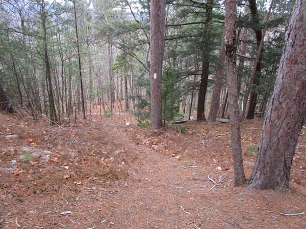
The start of the road to the White Trail
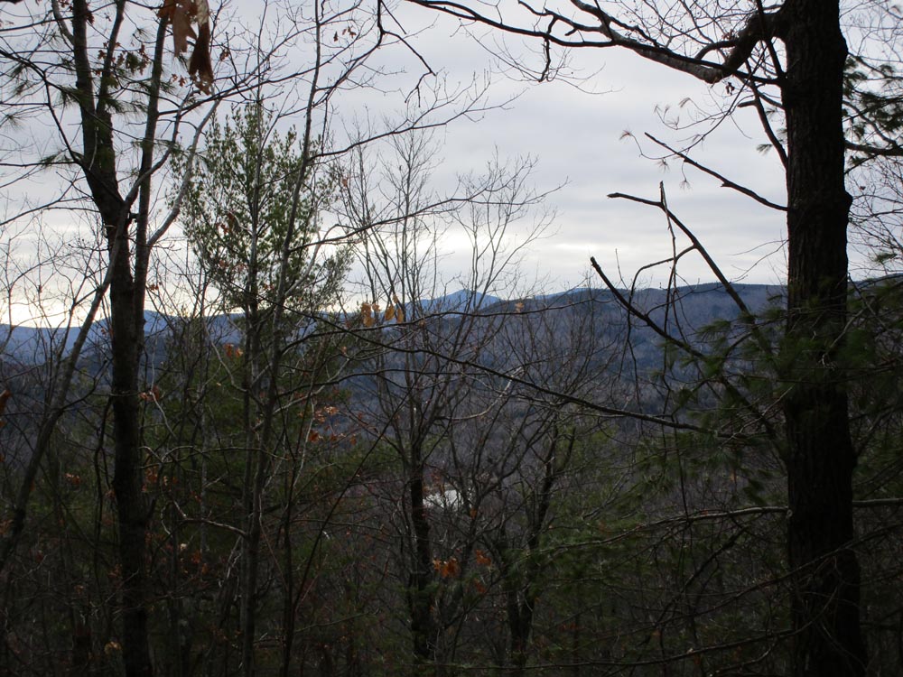
Slight views through the trees from Crows Nest
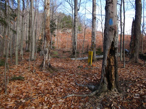
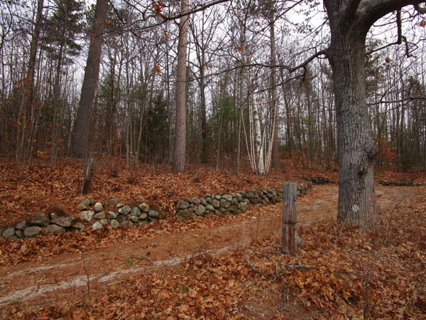
Ascending Mt. Cabot
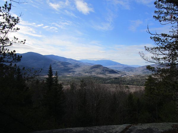
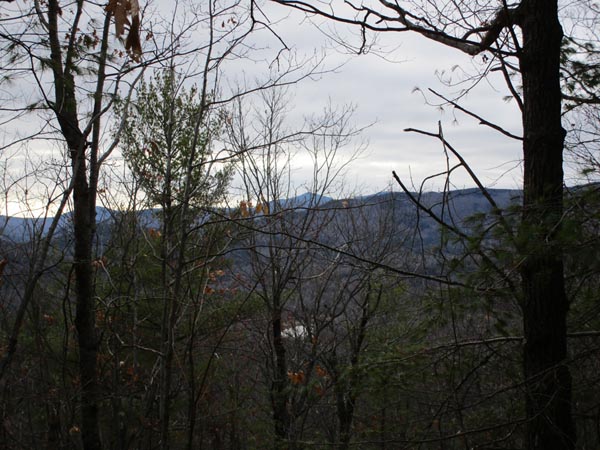
Looking at the Presidentials from Mt. Cabot
Directions to trailhead: Take US 2 East from Gorham, then take a left onto North Road. Continue past Philbrook Farm Inn. Shortly thereafter, there should be room to pull over on the right side of the road (with pipeline marker 74 visible). Just before this on the left is a driveway. The White Trail trailhead is up this driveway on the right, across from a home.
Back to Crows Nest Profile
Back to Mt. Cabot Profile
|