Home
States
Colorado
Connecticut
Maine
Massachusetts
New Hampshire
New York
Rhode Island
Utah
Vermont
View All
Lists
NE 4,000 Footers
NE 100 Highest
NH 4,000 Footers
NH 100 Highest
NH 52 With A View
NH Belknap Range
NH Ossipee 10
Links
Trail Conditions
Trip Log
Sunrises
Sunsets
About
|
Devils Slide
Stark, NH
Trailheads, measurements, times, distances, and maps are all approximate and relative to the hike(s) as shown below.

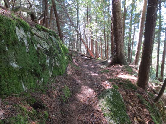
The yellow blazed trail to Devils Slide
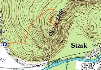
Route: Unknown Trail
Was planning to do something up in Nash Stream, but I was reminded of these cliffs as I arrived in Stark. When the yellow blaze caught my eye from the road, I decided to check out this peak finally.
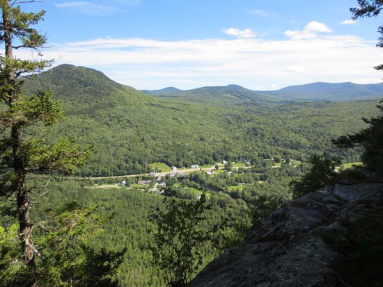
Trail is initially gradual, has a short uphill, then is gradual again, then very steep up to the first cliff area. I went left first, followed the herd path past the highpoint to another cliff view (.99 miles from the road to this final view according to my trailrunning app), then doubled back to the initial cliff interaction and went downhill to a nice view with a fire ring. Neat look at Unknown Pond Peak-The Horn-The Bulge-Mt. Cabot from here.
| Hike Ratings |
|
Getting To Trailhead: |
Easy |
| Destination: |
Devils Slide |
|
Length: |
Moderate |
|
Steepness: |
Difficult |
|
Navigation: |
Easy |
|
Views: |
Excellent |
|
Crowds: |
Minimal |
|
| Hike Stats |
|
Date Hiked: |
Saturday, August 10, 2013 |
| Parking Elevation: |
2,760' |
| Destination: |
Devils Slide |
| Time Elapsed: |
00:24 |
| Trailhead Elevation: |
950' |
| Summit Elevation: |
1,590' |
| Distance: |
1 mile |
| Vertical Gain: |
650' |
|
|
| Hike Time Elapsed: |
00:54 |
| Hike Vertical Gain: |
700' |
|

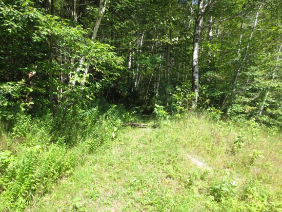
The start of the yellow blazed trail

Looking south from near the summit of Devils Slide


Directions to trailhead: From Route 110 in Stark, cross the covered bridge, then take a left onto Northside Road. Continue across the tracks. Just after passing a large field on the left, there's a small pull in area on the right. The first yellow blaze is visible from the road.
Back to Devils Slide Profile
|