Home
States
Colorado
Connecticut
Maine
Massachusetts
New Hampshire
New York
Rhode Island
Utah
Vermont
View All
Lists
NE 4,000 Footers
NE 100 Highest
NH 4,000 Footers
NH 100 Highest
NH 52 With A View
NH Belknap Range
NH Ossipee 10
Links
Trail Conditions
Trip Log
Sunrises
Sunsets
About
|
Doublehead Mountain - North Peak
Sandwich, NH
Trailheads, measurements, times, distances, and maps are all approximate and relative to the hike(s) as shown below.
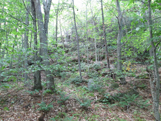
Bushwhacking the southern face of Doublehead Mountain North Peak
Route: Bushwhack
For the ascent, we followed a herd path to a bootleg campsite on the southeast side of the peak, then slabbed along, then climbed steeply to the summit (some cliff bands to route around). Woods weren't terrible, but not ideal. The highpoint is marked with a USFS bearing tree. From there, we continued southwest to some very nice ledges, which had great views of the back of the Squam Range, as well as glimpses at the Ossipees and over toward Tenney Mountain.
For the descent, we followed the ridge for awhile, favoring north, and thus ended up with better woods than the ascent. Conditions were dry. Starting to see isolated fall foliage colors.
| Hike Ratings |
|
Getting To Trailhead: |
Moderate |
| Destination: |
Doublehead Mountain - North Peak |
|
Length: |
Moderate |
|
Steepness: |
Difficult |
|
Navigation: |
Difficult |
|
Views: |
Excellent |
|
Crowds: |
Minimal |
|
| Hike Stats |
|
Date Hiked: |
Monday, September 8, 2014 |
| Parking Elevation: |
1,460' |
| Destination: |
Doublehead Mountain - North Peak |
| Time Elapsed: |
00:27 |
| Trailhead Elevation: |
1,460' |
| Summit Elevation: |
2,020' |
| Vertical Gain: |
600' |
|
|
| Hike Time Elapsed: |
01:11 |
| Hike Vertical Gain: |
680' |
|
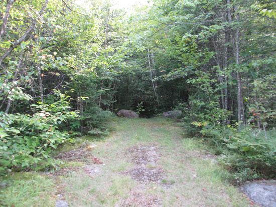
The beginning of logging road to nowhere off Sandwich Notch Road
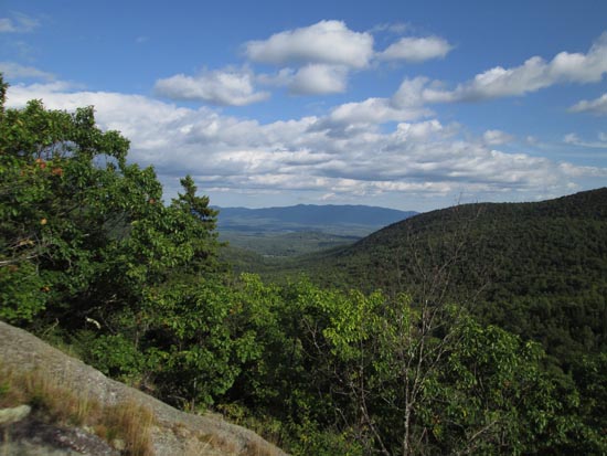
Looking southeast at the Ossipees from the southwestern ledges of Doublehead Mountain's North Peak
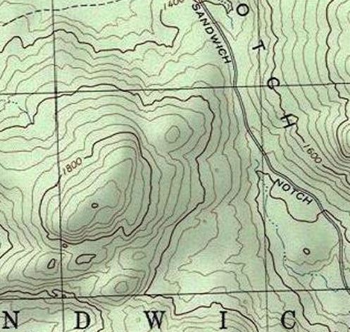

Directions to trailhead: Parked at the pulloff at the height of land west of Dinsmore Mountain off Sandwich Notch Road. Would be very difficult to get here with a low clearance car, as there are some ruts and ditches in both directions that could cause bottoming out.
Back to Doublehead Mountain - North Peak Profile
|

