Home
States
Colorado
Connecticut
Maine
Massachusetts
New Hampshire
New York
Rhode Island
Utah
Vermont
View All
Lists
NE 4,000 Footers
NE 100 Highest
NH 4,000 Footers
NH 100 Highest
NH 52 With A View
NH Belknap Range
NH Ossipee 10
Links
Trail Conditions
Trip Log
Sunrises
Sunsets
About
|
Eagle Cliff
Sandwich, NH
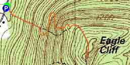
Trailheads, measurements, times, distances, and maps are all approximate and relative to the hike(s) as shown below.
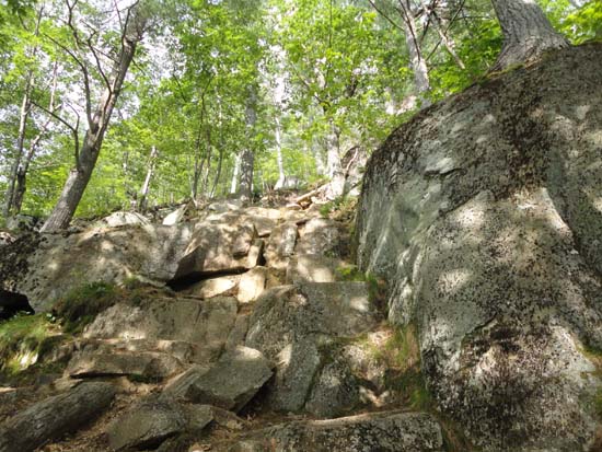
The Eagle Cliff Trail cliffs section
Route: Eagle Cliff Trail, (Eagle Cliff), Eagle Cliff Trail
A short hike to get some fresh air during a rare break in the rain. Trail was mostly dry and in good shape.
| Hike Ratings |
|
Getting To Trailhead: |
Easy |
| Destination: |
Eagle Cliff |
|
Length: |
Easy |
|
Steepness: |
Very Difficult |
|
Navigation: |
Easy |
|
Views: |
Excellent |
|
Crowds: |
Minimal |
|
| Hike Stats |
|
Date Hiked: |
Saturday, July 6, 2013 |
| Parking Elevation: |
580' |
| Destination: |
Eagle Cliff |
| Time Elapsed: |
00:17 |
| Trailhead Elevation: |
580' |
| Summit Elevation: |
1,270' |
| Distance: |
.6 miles |
| Vertical Gain: |
695' |
|
|
| Hike Time Elapsed: |
00:39 |
| Hike Distance: |
1.2 miles |
| Hike Vertical Gain: |
700' |
|
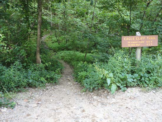
The Eagle Cliff Trail trailhead on Squam Lake Road
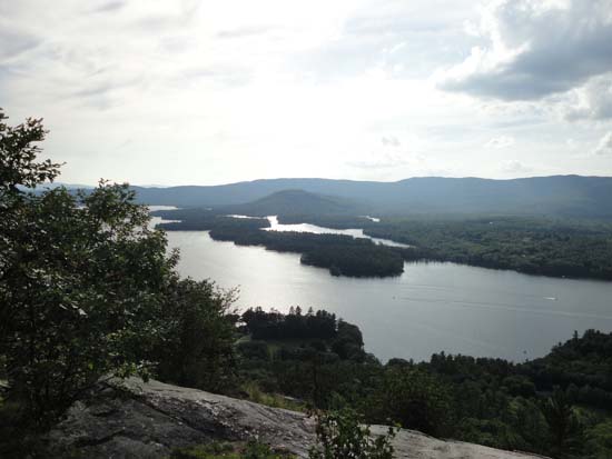
Looking at the Rattlesnakes and Squam Lake from one of the Eagle Cliff ledges

Directions to trailhead: From Route 113 in Center Sandwich, take Squam Lake Road west. The Eagle Cliff Trail trailhead is just around the corner from where Squam Lake gets close to the road for the second time. Parking available alongside the road.
Back to Eagle Cliff Profile
|

