Home
States
Colorado
Connecticut
Maine
Massachusetts
New Hampshire
New York
Rhode Island
Utah
Vermont
View All
Lists
NE 4,000 Footers
NE 100 Highest
NH 4,000 Footers
NH 100 Highest
NH 52 With A View
NH Belknap Range
NH Ossipee 10
Links
Trail Conditions
Trip Log
Sunrises
Sunsets
About
|
Eagle Cliff
Sandwich, NH
Trailheads, measurements, times, distances, and maps are all approximate and relative to the hike(s) as shown below.
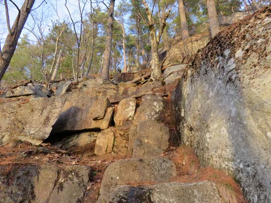
The Eagle Cliff Trail cliffs section
Route: Eagle Cliff Trail, (Eagle Cliff), Eagle Cliff Trail
Eagle Cliff Trail to Eagle Cliff was virtually snow free (one very tiny, avoidable patch) and mostly dry, both via the cliffs route and the bypass. Squam Lake is still mostly covered in ice, making for an interesting contrast.
Lots of wildlife out at sunset, including turkeys gobbling near the ledge, a porcupine downclimbing a steep ledge backwards (neat to watch...used his/her tail to feel out each step), and a fox running alongside the road.
| Hike Ratings |
|
Getting To Trailhead: |
Easy |
| Destination: |
Eagle Cliff |
|
Length: |
Easy |
|
Steepness: |
Very Difficult |
|
Navigation: |
Easy |
|
Views: |
Excellent |
|
Crowds: |
Minimal |
|
| Hike Stats |
|
Date Hiked: |
Sunday, April 19, 2015 |
| Parking Elevation: |
580' |
| Destination: |
Eagle Cliff |
| Time Elapsed: |
00:16 |
| Trailhead Elevation: |
580' |
| Summit Elevation: |
1,270' |
| Distance: |
.6 miles |
| Vertical Gain: |
695' |
|
|
| Hike Time Elapsed: |
01:08 |
| Hike Distance: |
1.2 miles |
| Hike Vertical Gain: |
700' |
|
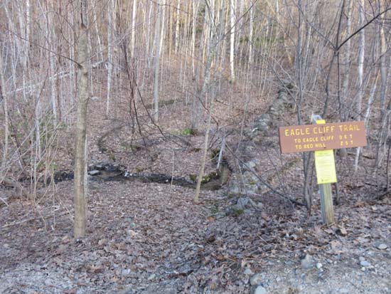
The Eagle Cliff Trail trailhead on Squam Lake Road
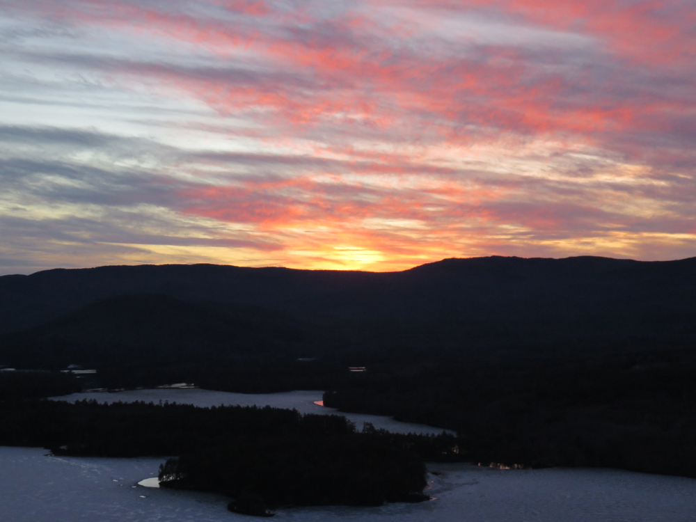
The sunset over Squam Lake as seen from one of the Eagle Cliff ledges
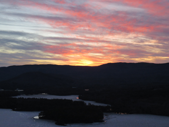
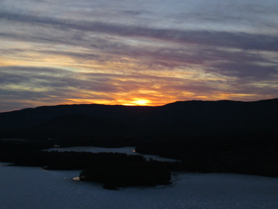
The sunset over Squam Lake as seen from one of the Eagle Cliff ledges
Directions to trailhead: From Route 113 in Center Sandwich, take Squam Lake Road west. The Eagle Cliff Trail trailhead is just around the corner from where Squam Lake gets close to the road for the second time. Parking available alongside the road.
Back to Eagle Cliff Profile
|