Home
States
Colorado
Connecticut
Maine
Massachusetts
New Hampshire
New York
Rhode Island
Utah
Vermont
View All
Lists
NE 4,000 Footers
NE 100 Highest
NH 4,000 Footers
NH 100 Highest
NH 52 With A View
NH Belknap Range
NH Ossipee 10
Links
Trail Conditions
Trip Log
Sunrises
Sunsets
About
|
Eagle Crag, Mt. Meader
Beans Purchase, NH
Trailheads, measurements, times, distances, and maps are all approximate and relative to the hike(s) as shown below.
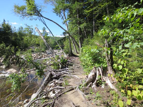
The Highwater Trail
Route: Wild River Trail, Highwater Trail, Eagle Link, Meader Ridge Trail, Basin Rim Trail, Black Angel Trail
Southern segment of Highwater Trail was largely unaffected by Irene. Lots of PUDs though.
The next section of Wild River Trail south of there (from Black Angel to Eagle Link) had multiple blowouts from Irene. There are (sometimes muddy) single file paths around these. This, along with the segement immediately north (Black Angel to Moriah Brook Trail) were the only trails on this loop that appeared to have any significant Irene impact.
Eagle Link was fine, though there were a few (for now) minor mud bogs, as well as some slippery ledge. Nice woods.
Meader Ridge Trail was generally dry and in good shape.
Basin Rim Trail to the Rim Junction was in good shape. Nice woods.
Black Angel Trail had some wet spots and a few areas of running water, but otherwise was fine. Didn't notice the uphill climb when I was glancing at the map. Noticed it when I had to hike it toward the end of the day.
Wild River from there out had a few blowouts from Irene. The closer one gets to the Moriah Brook Trail junction, the worse it gets.
| Hike Ratings |
|
Getting To Trailhead: |
Easy |
| Destination: |
Eagle Crag |
|
Length: |
Difficult |
|
Steepness: |
Moderate |
|
Navigation: |
Easy |
|
Views: |
Excellent |
|
Crowds: |
Minimal |
| Destination: |
Mt. Meader |
|
Length: |
Difficult |
|
Steepness: |
Difficult |
|
Navigation: |
Easy |
|
Views: |
Excellent |
|
Crowds: |
Minimal |
|
| Hike Stats |
|
Date Hiked: |
Sunday, August 19, 2012 |
| Parking Elevation: |
1,150' |
| Destination: |
Eagle Crag |
| Time Elapsed: |
03:52 |
| Trailhead Elevation: |
1,150' |
| Summit Elevation: |
3,020' |
| Vertical Gain: |
2,220' |
| Destination: |
Mt. Meader |
| Time Elapsed: |
00:47 |
| Trailhead Elevation: |
3,020' |
| Summit Elevation: |
2,782' |
| Vertical Gain: |
352' |
|
|
| Hike Time Elapsed: |
08:02 |
| Hike Vertical Gain: |
3,172' |
|
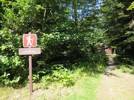
The Wild River Trail trailhead
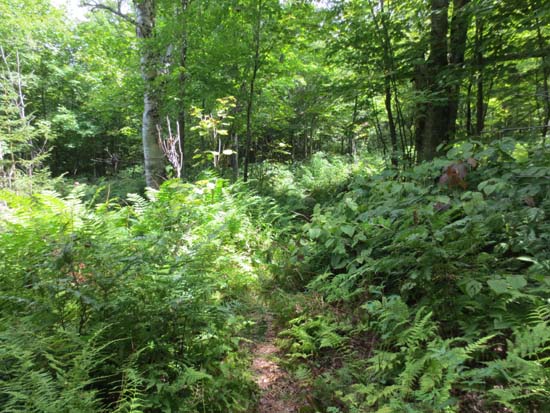
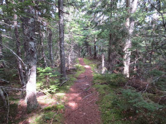
The Eagle Link Trail

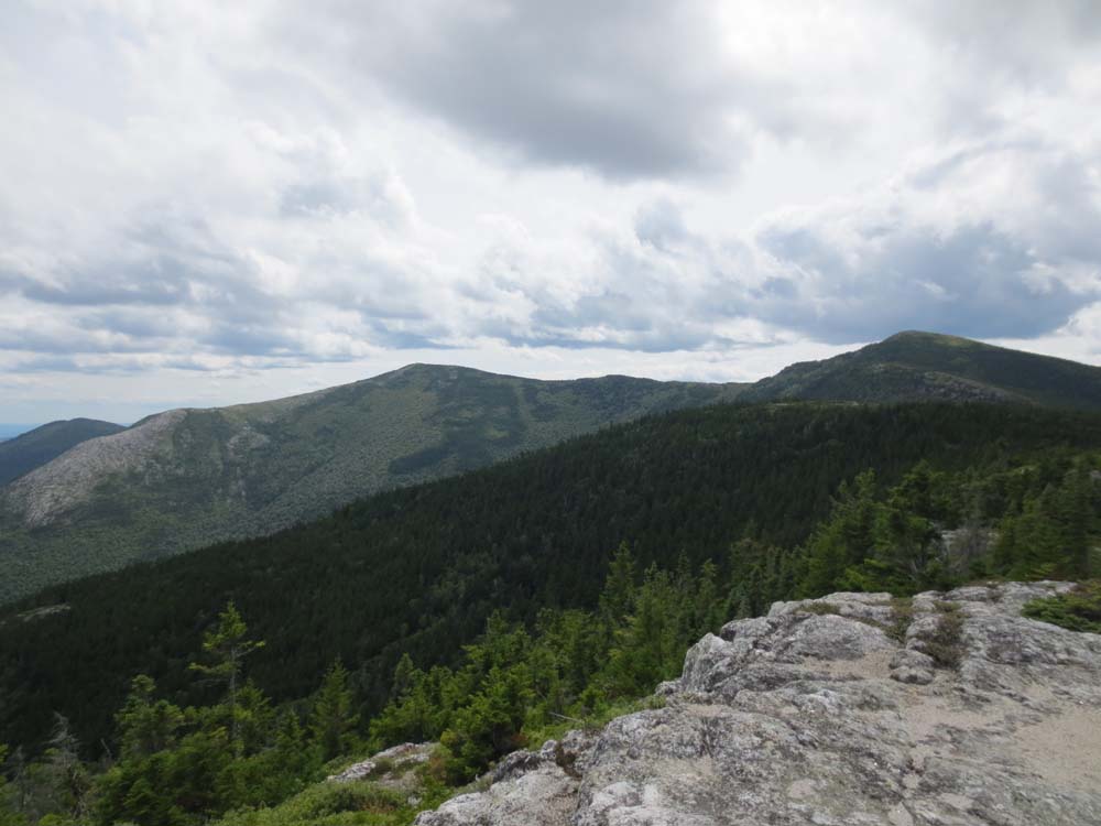
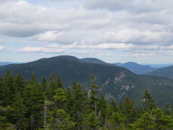
Looking at the Baldfaces from Eagle Crag
The Meader Ridge Trail between Eagle Crag and Mt. Meader
Looking north at the Basin Rim from the vista atop the Mt. Meader Trail
Directions to trailhead: From US 2, take Route 113 south, then take a right onto Wild River Road. The Wild River Trail WMNF fee parking area and trailhead are located on the left just before entering the campground.
Back to Eagle Crag Profile
Back to Mt. Meader Profile
|