Home
States
Colorado
Connecticut
Maine
Massachusetts
New Hampshire
New York
Rhode Island
Utah
Vermont
View All
Lists
NE 4,000 Footers
NE 100 Highest
NH 4,000 Footers
NH 100 Highest
NH 52 With A View
NH Belknap Range
NH Ossipee 10
Links
Trail Conditions
Trip Log
Sunrises
Sunsets
About
|
Fort Mountain
Epsom, NH
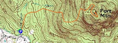
Trailheads, measurements, times, distances, and maps are all approximate and relative to the hike(s) as shown below.
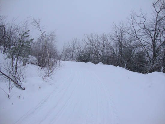
Looking up the road to Fort Mountain
Route: Access road, (Fort Mountain), access road
With poor weather moving in, I opted to do some low elevation exploring.
After finding the beginning of the access road to Fort Mountain, I found a place to park out of the way and set off jogging on snowshoes.
While the road started off gradually, it did steepen up a little bit as it switchbacked up to the top of Fort Mountain. Though it appeared there could be very nice views from adjacent the summit communications tower, snow flurries and mist obscured most of what might otherwise be seen.
| Hike Ratings |
|
Getting To Trailhead: |
Moderate |
| Destination: |
Fort Mountain |
|
Length: |
Easy |
|
Steepness: |
Moderate |
|
Navigation: |
Easy |
|
Views: |
Moderate (due to weather) |
|
Crowds: |
Minimal |
|
| Hike Stats |
|
Date Hiked: |
Wednesday, January 26, 2011 |
| Hike Commenced: |
4:10 PM |
| Parking Elevation: |
775' |
| Destination: |
Fort Mountain |
| Ascent Commenced: |
4:10 PM |
| Summit Reached: |
4:29 PM |
| Time Elapsed: |
00:19 |
| Trailhead Elevation: |
775' |
| Summit Elevation: |
1,413' |
| Vertical Gain: |
648' |
|
|
| Hike Ended: |
4:44 PM |
| Hike Time Elapsed: |
00:34 |
| Hike Vertical Gain: |
658' |
|
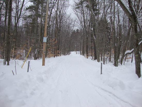
The beginning of the access road to Fort Mountain
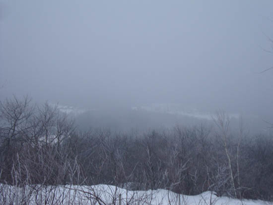
Slight views from Fort Mountain

Directions to trailhead: From US 202 east of Concord, take Route 28 south. Take a left onto Short Falls Road. Bear right at a five way junction onto New Rye Road. Take a left onto Swamp Road. Take a left onto Mountain View Road. Bear right at the next junction, then head around a left curve. The access road (no vehicles allowed) will be on the right shortly thereafter, with utility poles heading up it.
Back to Fort Mountain Profile
|

