Home
States
Colorado
Connecticut
Maine
Massachusetts
New Hampshire
New York
Rhode Island
Utah
Vermont
View All
Lists
NE 4,000 Footers
NE 100 Highest
NH 4,000 Footers
NH 100 Highest
NH 52 With A View
NH Belknap Range
NH Ossipee 10
Links
Trail Conditions
Trip Log
Sunrises
Sunsets
About
|
Foss Mountain
Eaton, NH
Trailheads, measurements, times, distances, and maps are all approximate and relative to the hike(s) as shown below.
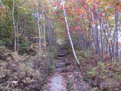
Looking up the Foss Mountain Trail
Route: Foss Mountain Trail, (Foss Mountain North Peak), Foss Mountain Trail
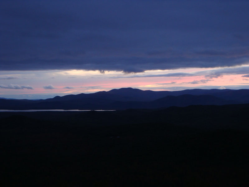
On my way back from hiking Cranmore Mountain, I took a gander at the clouds and saw the potential for a decent sunset. Thus, I made a detour and took a quick walk up Foss Mountain.
By the looks of it, acres of brush had been recently mulched, making the open summit even more spectacular.
While the sunset wasn't spectacular, it was still a nice unexpected display, considering the rainy forecast.
| Hike Ratings |
|
Getting To Trailhead: |
Easy |
| Destination: |
Foss Mountain (North Peak) |
|
Length: |
Easy |
|
Steepness: |
Moderate |
|
Navigation: |
Easy |
|
Views: |
Excellent |
|
Crowds: |
Minimal |
|
| Hike Stats |
|
Date Hiked: |
Wednesday, September 30, 2009 |
| Hike Commenced: |
6:21 PM |
| Parking Elevation: |
1,420' |
| Destination: |
Foss Mountain (North Peak) |
| Ascent Commenced: |
6:21 PM |
| Summit Reached: |
6:25 PM |
| Time Elapsed: |
00:04 |
| Trailhead Elevation: |
1,420' |
| Summit Elevation: |
1,647' |
| Distance: |
.5 mile |
| Vertical Gain: |
247' |
|
|
| Hike Ended: |
6:42 PM |
| Hike Time Elapsed: |
00:21 |
| Hike Vertical Gain: |
267' |
|
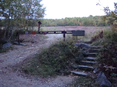
The Foss Mountain Trail trailhead next to the seasonal portion of Foss Mountain Road
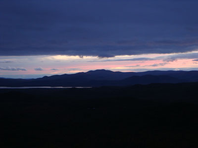
Looking at sunset colors behind Ossipees from the Foss Mountain north peak
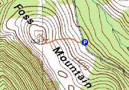

Directions to trailhead: Take Route 153 North to Brownfield Road. Take a right onto Bull Pasture Road. Take a right onto Stewart Road. Take a left onto Foss Mountain Road. The non-winter parking area is located a few miles up on the left and the trailhead is on the right, at the bottom of the blueberry fields.
Back to Foss Mountain Profile
|