Home
States
Colorado
Connecticut
Maine
Massachusetts
New Hampshire
New York
Rhode Island
Utah
Vermont
View All
Lists
NE 4,000 Footers
NE 100 Highest
NH 4,000 Footers
NH 100 Highest
NH 52 With A View
NH Belknap Range
NH Ossipee 10
Links
Trail Conditions
Trip Log
Sunrises
Sunsets
About
|
Foss Mountain
Eaton, NH
Trailheads, measurements, times, distances, and maps are all approximate and relative to the hike(s) as shown below.
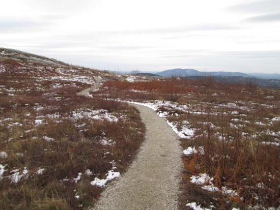
Looking up the Foss Mountain Trail
Route: Foss Mountain Trail, (Foss Mountain North Peak), Foss Mountain Trail
Quick side trip to check out the newly constructed Foss Mountain Trail in Eaton. The trailhead is a fraction of a mile before (north) the old trailhead (closed).
The first portion of the new trail follows an old woods road. The second portion is a newly built path with fantastic footing (gravel footbed with generous switchbacks) and the third portion weaves its way up the northern side of the blueberry fields/ledges to what's often referred to as the summit (the highpoint is a wooded area further down the ridge).
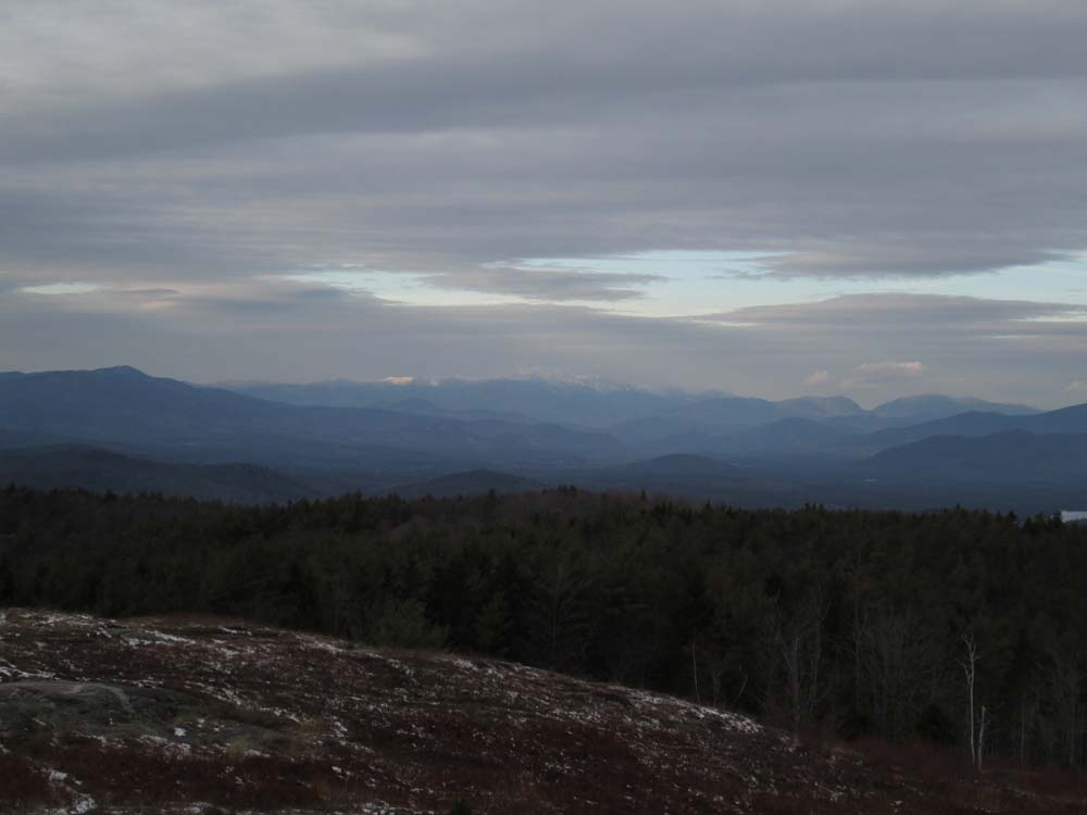
The views from the 'summit' are some of the best in the region.
| Hike Ratings |
|
Getting To Trailhead: |
Easy |
| Destination: |
Foss Mountain (North Peak) |
|
Length: |
Easy |
|
Steepness: |
Easy |
|
Navigation: |
Easy |
|
Views: |
Excellent |
|
Crowds: |
Minimal |
|
| Hike Stats |
|
Date Hiked: |
Sunday, November 16, 2014 |
| Parking Elevation: |
1,420' |
| Destination: |
Foss Mountain (North Peak) |
| Time Elapsed: |
00:08 |
| Trailhead Elevation: |
1,380' |
| Summit Elevation: |
1,647' |
| Distance: |
.46 mile |
| Vertical Gain: |
267' |
|
|
| Hike Time Elapsed: |
00:17 |
| Hike Vertical Gain: |
267' |
|
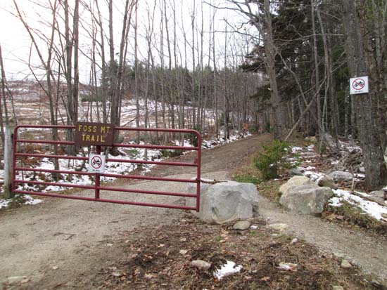
The new Foss Mountain Trail trailhead
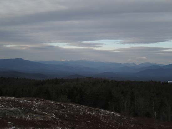
Looking at the Presidentials from the Foss Mountain north peak
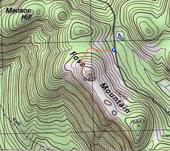

Directions to trailhead: Take Route 153 North to Brownfield Road. Take a right onto Bull Pasture Road. Take a right onto Stewart Road. Take a left onto Foss Mountain Road. The non-winter parking area is located a few miles up on the left and the trailhead is on the right, at the bottom of the blueberry fields.
Back to Foss Mountain Profile
|