Home
States
Colorado
Connecticut
Maine
Massachusetts
New Hampshire
New York
Rhode Island
Utah
Vermont
View All
Lists
NE 4,000 Footers
NE 100 Highest
NH 4,000 Footers
NH 100 Highest
NH 52 With A View
NH Belknap Range
NH Ossipee 10
Links
Trail Conditions
Trip Log
Sunrises
Sunsets
About
|
Frankenstein Cliff
Harts Location, NH, Livermore, NH
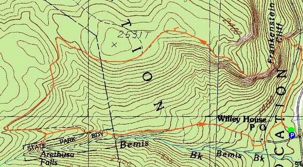
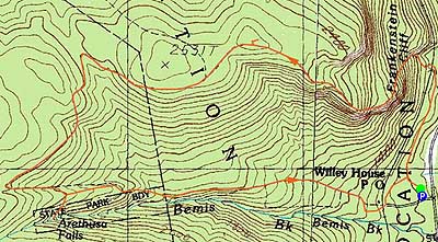
Trailheads, measurements, times, distances, and maps are all approximate and relative to the hike(s) as shown below.
Looking up the Frankenstein Cliff Trail
Route: Frankenstein Cliff Trail, (Frankenstein Cliff), Frankenstein Cliff Trail, Ripley-Arethusa Falls Trail, Arethusa Falls Trail, Frankenstein Cliff Trail
Once again wanting to avoid snow, I opted to check out Frankenstein Cliff. Parking at the lower lot (visible from US 302), the section of trail leading to the trestle was filled with ups and downs and some less than optimal footing - one of those 'looked easier/faster on the map' trails.
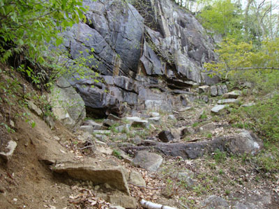
From there, the trail steepened quickly, skirting near some cliffs and some nice views.
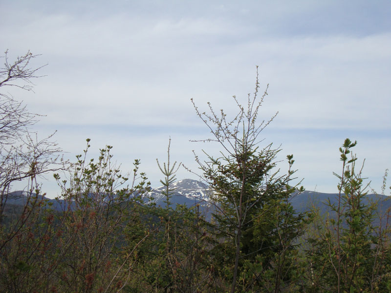
Continuing up the trail (now plagued with blowdowns), I passed by a few minor viewpoints, before reaching the near-highpoint 'viewpoint' - badly grown in and providing very little in way of the views mentioned on the sign.
From there, I headed down to the Ripley-Arethusa Falls Trail, past a nice smaller waterfall, and then eventually to Arethusa Falls - very impressive.
After that, it was a somewhat dull walk out to the upper parking lot, then through the woods on the spur trail back to the lower parking lot.
| Hike Ratings |
|
Getting To Trailhead: |
Easy |
| Destination: |
Frankenstein Cliff |
|
Length: |
Moderate |
|
Steepness: |
Difficult |
|
Navigation: |
Moderate |
|
Views: |
Moderate |
|
Crowds: |
Minimal |
|
| Hike Stats |
|
Date Hiked: |
Friday, May 7, 2010 |
| Hike Commenced: |
4:01 PM |
| Parking Elevation: |
535' |
| Destination: |
Frankenstein Cliff |
| Ascent Commenced: |
4:02 PM |
| Summit Reached: |
5:18 PM |
| Time Elapsed: |
01:16 |
| Trailhead Elevation: |
1,190' |
| Summit Elevation: |
2,451' |
| Vertical Gain: |
1,436' |
|
|
| Hike Ended: |
6:58 PM |
| Hike Time Elapsed: |
02:57 |
| Hike Vertical Gain: |
1,686 |
|
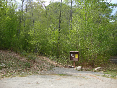
The Frankenstein Cliff Trail trailhead
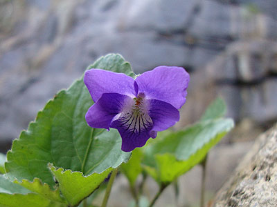
A wildflower along the Frankenstein Cliff Trail
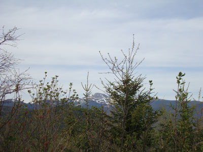
The Presidentials as seen from the grown in top vista on Frankenstein Cliff
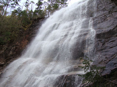
Arethusa Falls

Directions to trailhead: Take US 302 West from Bartlett. Shortly after entering Crawford Notch State Park, the Arethusa Falls parking area entrance will be on the left. The Frankenstein Cliff Trail trailhead is at the back corner of this lower parking lot.
Back to Frankenstein Cliff Profile
|