Home
States
Colorado
Connecticut
Maine
Massachusetts
New Hampshire
New York
Rhode Island
Utah
Vermont
View All
Lists
NE 4,000 Footers
NE 100 Highest
NH 4,000 Footers
NH 100 Highest
NH 52 With A View
NH Belknap Range
NH Ossipee 10
Links
Trail Conditions
Trip Log
Sunrises
Sunsets
About
|
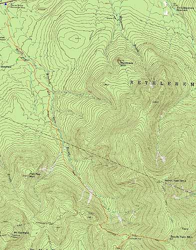
Galehead Mountain, South Twin Mountain
Bethlehem, NH, Franconia, NH
Trailheads, measurements, times, distances, and maps are all approximate and relative to the hike(s) as shown below.
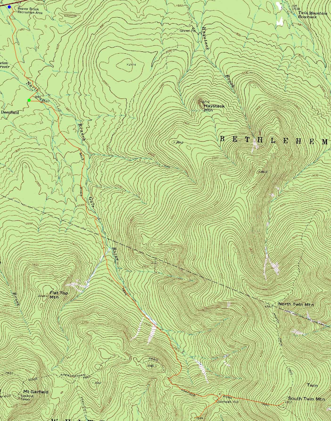
The Gale River Trail reroute
Route: Beaver Brook XC Ski Trail, connector trail, Gale River Road, Gale River Trail, Garfield Ridge Trail, Frost Trail, (Galehead Mountain), Frost Trail, Twinway, (South Twin), Twinway, Garfield Ridge Trail, Gale River Trail, Gale River Road, connector trail, Beaver Brook XC Ski Trail
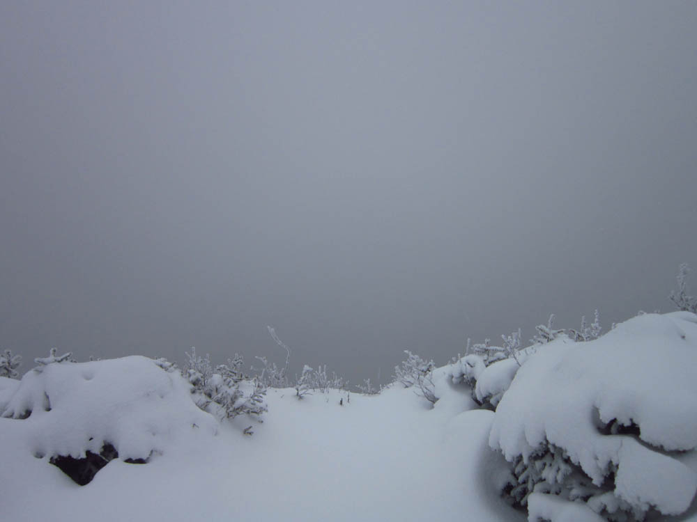
Minimal snow in the lower elevations. Generally bootable all the way to South Twin. No views or blue sky until the walk out.
| Hike Ratings |
|
Getting To Trailhead: |
Difficult |
| Destination: |
Galehead Mountain |
|
Length: |
Moderate |
|
Steepness: |
Difficult |
|
Navigation: |
Moderate |
|
Views: |
Minimal (due to weather) |
|
Crowds: |
Minimal |
| Destination: |
South Twin Mountain |
|
Length: |
Difficult |
|
Steepness: |
Difficult |
|
Navigation: |
Easy |
|
Views: |
Minimal (due to weather) |
|
Crowds: |
Minimal |
|
| Hike Stats |
|
Date Hiked: |
Monday, December 26, 2011 |
| Time to Trailhead: |
00:25 |
| Parking Elevation: |
1,420' |
| Destination: |
Galehead Mountain |
| Time Elapsed: |
02:50 |
| Trailhead Elevation: |
1,610' |
| Summit Elevation: |
4,024' |
| Vertical Gain: |
2,759' |
| Destination: |
South Twin Mountain |
| Time Elapsed: |
01:06 |
| Trailhead Elevation: |
4,024' |
| Summit Elevation: |
4,902' |
| Vertical Gain: |
1,187' |
|
|
| Hike Time Elapsed: |
7:25 |
| Hike Vertical Gain: |
4,596' |
|
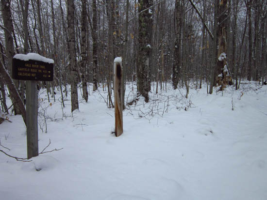
The Gale River Trail trailhead
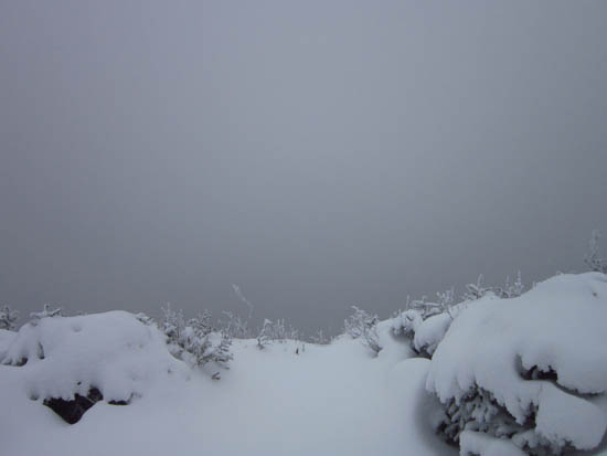
Galehead inside a cloud
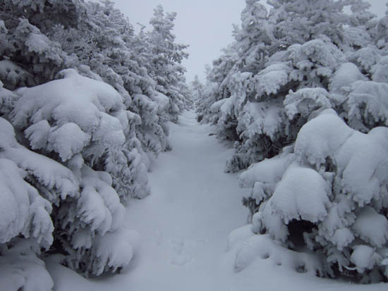
Looking up the Twinway
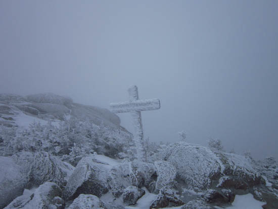
South Twin inside a cloud

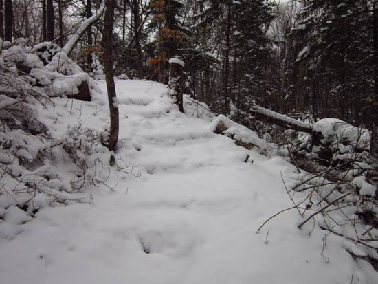
Directions to trailhead: Take Route 3 South from US 302. In the winter, take a left into the Beaver Brook WMNF fee parking area, just before the five corners. Follow the Beaver Brook cross country ski trail counterclockwise. A short path will lead from the cross country ski trail to an open field and to Gale River Road (go left onto it). Take a right shortly thereafter onto the loop road. The Gale River Trail trailhead will be on the left .3 miles thereafter.
Back to Galehead Mountain Profile
Back to South Twin Mountain Profile
|