Home
States
Colorado
Connecticut
Maine
Massachusetts
New Hampshire
New York
Rhode Island
Utah
Vermont
View All
Lists
NE 4,000 Footers
NE 100 Highest
NH 4,000 Footers
NH 100 Highest
NH 52 With A View
NH Belknap Range
NH Ossipee 10
Links
Trail Conditions
Trip Log
Sunrises
Sunsets
About
|
Goat Pasture Hill
Alton, NH, Gilmanton, NH
Trailheads, measurements, times, distances, and maps are all approximate and relative to the hike(s) as shown below.
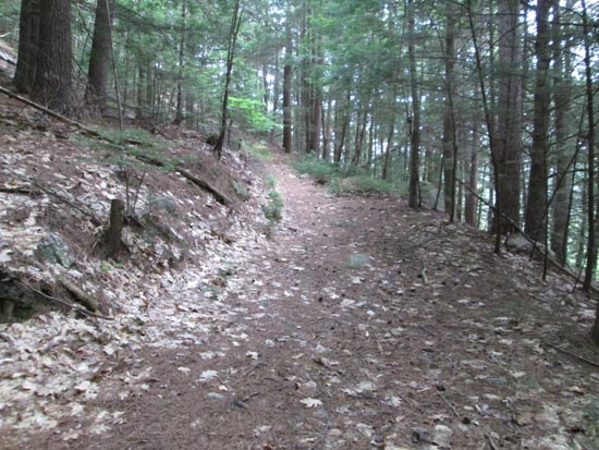
The Blue Trail on the way to Goat Pasture Hill
Route: Old Stage Road, Blue Trail, Red Trail
Old Stage Road was dry. 2014 beaver dam flooding not an issue.
Blue Trail starts just west of the Anna-Old Stage Road Link junction, just east of a bridge. Occasional minor mud in places, but could be sloppy in wet conditions.
Red Trail also has occasional mud in places, but generally dry. Decent viewpoint just north of what I considered to be the highpoint on Goat Pasture Hill, on the north side of the peak.
| Hike Ratings |
|
Getting To Trailhead: |
Easy |
| Destination: |
Goat Pasture Hill |
|
Length: |
Moderate |
|
Steepness: |
Moderate |
|
Navigation: |
Moderate |
|
Views: |
Excellent |
|
Crowds: |
Minimal |
|
| Hike Stats |
|
Date Hiked: |
Tuesday, July 14, 2015 |
| Parking Elevation: |
985' |
| Destination: |
Goat Pasture Hill |
| Time Elapsed: |
00:39 |
| Trailhead Elevation: |
985' |
| Summit Elevation: |
1,130' |
| Vertical Gain: |
450' |
|
|
| Hike Time Elapsed: |
00:56 |
| Hike Vertical Gain: |
600' |
|
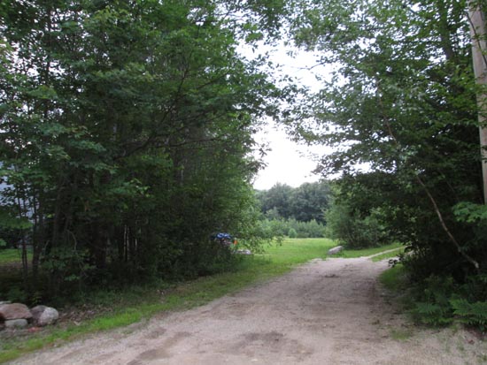
The beginning of the woods road at the end of the maintained portion of Alton Mountain Road
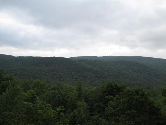
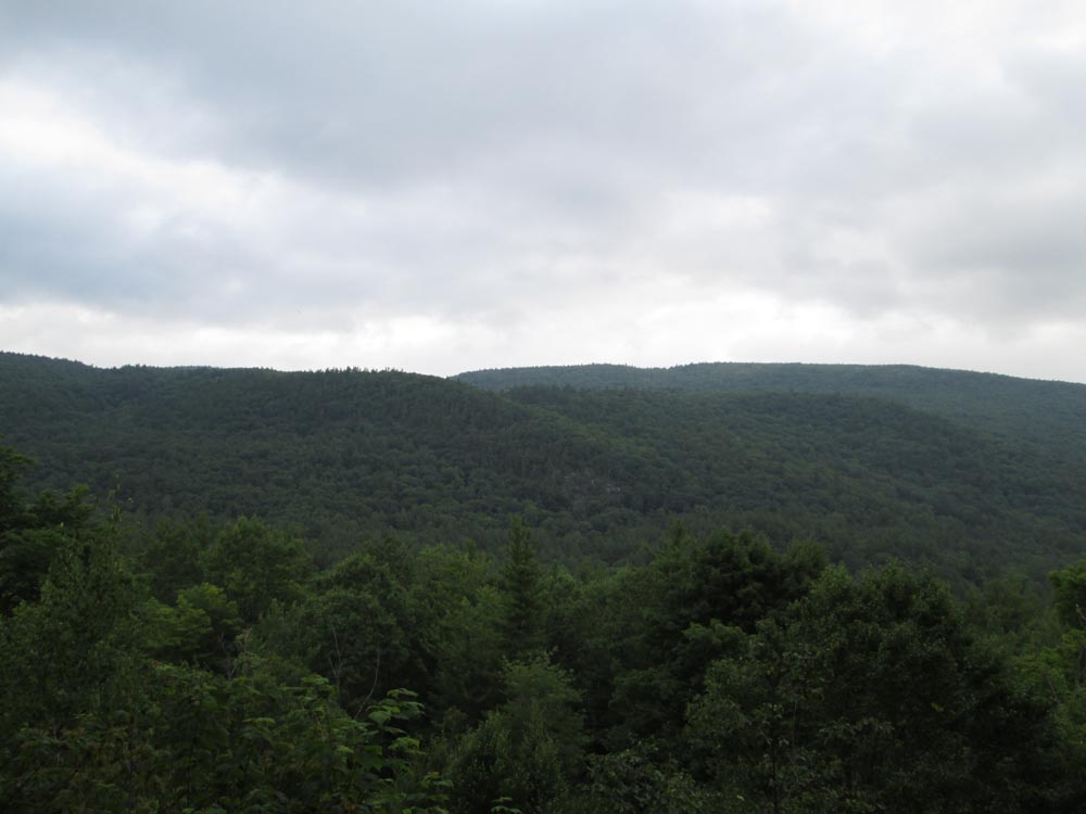
Looking northeast at the eastern Belknaps from Goat Pasture Hill
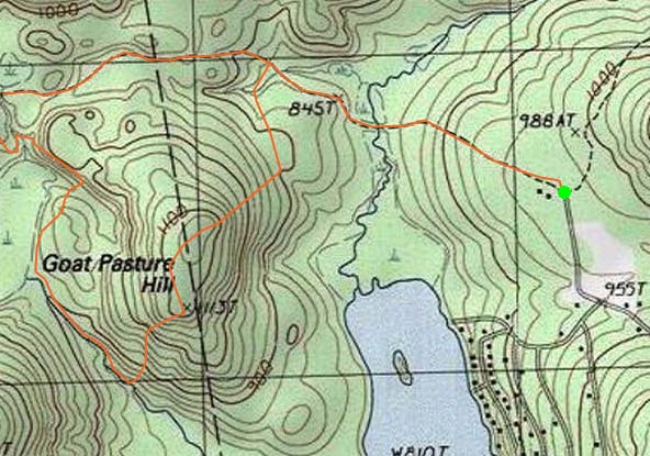

Directions to trailhead: From the Route 28A - Route 11 junction in Alton Bay, head west, going straight through the next junction, onto Rand Hill Road. Take a left onto Alton Mountain Road. A few minutes later, bear right to stay on Alton Mountain Road (rather than going left onto Avery Hill Road). There is limited room to park near the end of the maintained road and snowmobile trail junction.
Back to Goat Pasture Hill Profile
|