Home
States
Colorado
Connecticut
Maine
Massachusetts
New Hampshire
New York
Rhode Island
Utah
Vermont
View All
Lists
NE 4,000 Footers
NE 100 Highest
NH 4,000 Footers
NH 100 Highest
NH 52 With A View
NH Belknap Range
NH Ossipee 10
Links
Trail Conditions
Trip Log
Sunrises
Sunsets
About
|
Great Hill
Tamworth, NH
Trailheads, measurements, times, distances, and maps are all approximate and relative to the hike(s) as shown below.
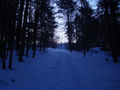
Looking up the trail to Great Hill
Wanting to get some exercise before the snowstorm, I decided to head out in the dark and ascend Great Hill for the sunrise.
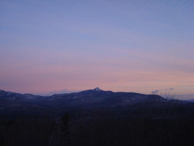
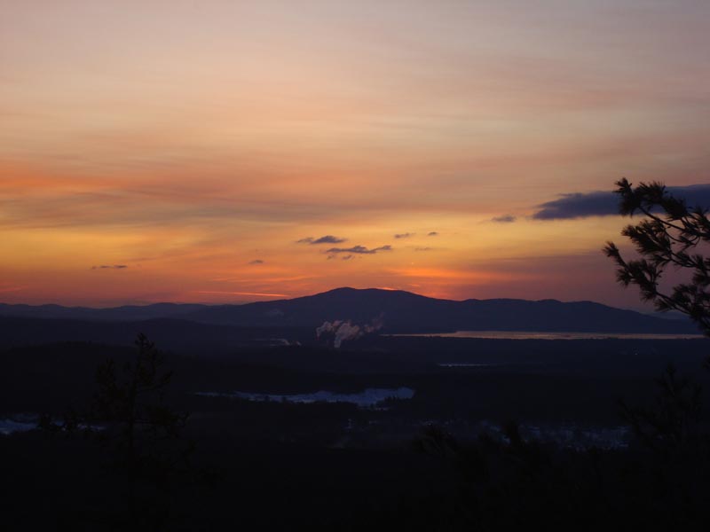
The first part of the ascent was packed by a snowmobile, while the second part was basically about 3" of powder. While I started well before the sunrise, the colors were already on display by the time I had reached the tower, thanks to a decent cloud cover.
Not a bad, short sunset hike!
| Hike Ratings |
|
Getting To Trailhead: |
Easy |
| Destination: |
Great Hill |
|
Length: |
Easy |
|
Steepness: |
Easy |
|
Navigation: |
Moderate |
|
Views: |
Excellent |
|
Crowds: |
Minimal |
|
| Hike Stats |
|
Date Hiked: |
Friday, December 19, 2008 |
| Hike Commenced: |
6:54 AM |
| Parking Elevation: |
1,020' |
| Destination: |
Great Hill |
| Ascent Commenced: |
6:54 AM |
| Summit Reached: |
7:05 AM |
| Time Elapsed: |
00:09 |
| Trailhead Elevation: |
1,025' |
| Summit Elevation: |
1,270' |
| Vertical Gain: |
250' |
|
|
| Hike Ended: |
7:39 AM |
| Hike Time Elapsed: |
00:45 |
| Hike Vertical Gain: |
260' |
|
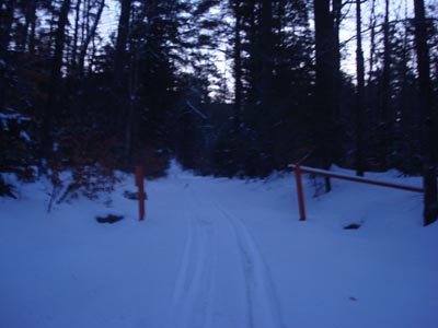
Trailhead to Great Hill summit

Mt. Chocorua as seen Great Hill fire tower

Sunrise colors over Green Mountain and Ossipee Lake


Directions to trailhead: Take Great Hill Road from Tamworth Village. Parking area a few miles up once road turns to dirt. Trail to firetower starts at orange gate on uphill side of parking area.
Back to Great Hill Profile
|