Home
States
Colorado
Connecticut
Maine
Massachusetts
New Hampshire
New York
Rhode Island
Utah
Vermont
View All
Lists
NE 4,000 Footers
NE 100 Highest
NH 4,000 Footers
NH 100 Highest
NH 52 With A View
NH Belknap Range
NH Ossipee 10
Links
Trail Conditions
Trip Log
Sunrises
Sunsets
About
|
Great Hill
Tamworth, NH
Trailheads, measurements, times, distances, and maps are all approximate and relative to the hike(s) as shown below.
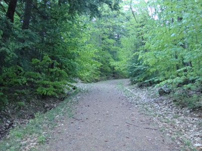
Looking up the trail to Great Hill
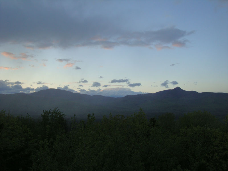
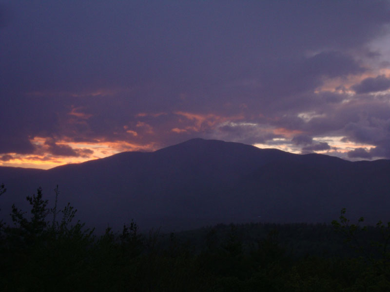
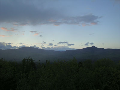
Seeing the chance of a nice sunset, I went for a quick jog up to Great Hill. Unfortunately, the peak colors occurred while I was about halfway up the trail. Nonetheless, I was able to get a nice display from the fire tower, just before some rain moved in.
I also observed some nice, new trail signs, making the maze of old roads a lot easier to navigate.
| Hike Ratings |
|
Getting To Trailhead: |
Easy |
| Destination: |
Great Hill |
|
Length: |
Easy |
|
Steepness: |
Easy |
|
Navigation: |
Easy |
|
Views: |
Excellent |
|
Crowds: |
Minimal |
|
| Hike Stats |
|
Date Hiked: |
Thursday, May 6, 2010 |
| Hike Commenced: |
7:40 PM |
| Parking Elevation: |
1,020' |
| Destination: |
Great Hill |
| Ascent Commenced: |
7:40 PM |
| Summit Reached: |
7:45 PM |
| Time Elapsed: |
00:05 |
| Trailhead Elevation: |
1,025' |
| Summit Elevation: |
1,270' |
| Vertical Gain: |
250' |
|
|
| Hike Ended: |
8:03 PM |
| Hike Time Elapsed: |
00:23 |
| Hike Vertical Gain: |
260' |
|
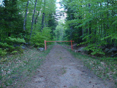
Trailhead to Great Hill summit
Looking at Mt. Paugus and Mt. Chocorua from the Great Hill fire tower

Sunset colors around Mt. Whiteface, as seen from the Great Hill fire tower


Directions to trailhead: Take Great Hill Road from Tamworth Village. Parking area a few miles up once road turns to dirt. Trail to firetower starts at orange gate on uphill side of parking area.
Back to Great Hill Profile
|