Home
States
Colorado
Connecticut
Maine
Massachusetts
New Hampshire
New York
Rhode Island
Utah
Vermont
View All
Lists
NE 4,000 Footers
NE 100 Highest
NH 4,000 Footers
NH 100 Highest
NH 52 With A View
NH Belknap Range
NH Ossipee 10
Links
Trail Conditions
Trip Log
Sunrises
Sunsets
About
|
Great Hill
Tamworth, NH
Trailheads, measurements, times, distances, and maps are all approximate and relative to the hike(s) as shown below.
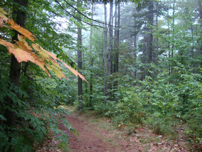
Looking down the trail to Great Hill
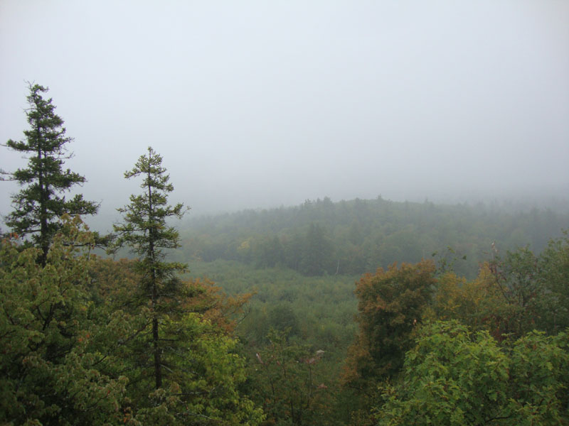
Wanting to get out on a rainy day, I went for a quick run up to Great Hill. With the fog and drizzle, there wasn't much in way of views from the tower. Of note, the tower had recently been repainted and a new solar panel attached.
| Hike Ratings |
|
Getting To Trailhead: |
Easy |
| Destination: |
Great Hill |
|
Length: |
Easy |
|
Steepness: |
Easy |
|
Navigation: |
Easy |
|
Views: |
Minimal (due to weather) |
|
Crowds: |
Minimal |
|
| Hike Stats |
|
Date Hiked: |
Monday, September 13, 2010 |
| Hike Commenced: |
3:12 PM |
| Parking Elevation: |
1,020' |
| Destination: |
Great Hill |
| Ascent Commenced: |
3:12 PM |
| Summit Reached: |
3:17 PM |
| Time Elapsed: |
00:05 |
| Trailhead Elevation: |
1,025' |
| Summit Elevation: |
1,270' |
| Vertical Gain: |
250' |
|
|
| Hike Ended: |
3:26 PM |
| Hike Time Elapsed: |
00:14 |
| Hike Vertical Gain: |
260' |
|
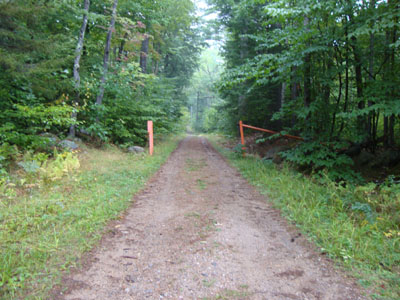
Trailhead to Great Hill summit

Fog as seen from the Great Hill fire tower


Directions to trailhead: Take Great Hill Road from Tamworth Village. Parking area a few miles up once road turns to dirt. Trail to firetower starts at orange gate on uphill side of parking area.
Back to Great Hill Profile
|