Home
States
Colorado
Connecticut
Maine
Massachusetts
New Hampshire
New York
Rhode Island
Utah
Vermont
View All
Lists
NE 4,000 Footers
NE 100 Highest
NH 4,000 Footers
NH 100 Highest
NH 52 With A View
NH Belknap Range
NH Ossipee 10
Links
Trail Conditions
Trip Log
Sunrises
Sunsets
About
|
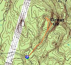
Great Hill
Bow, NH
Trailheads, measurements, times, distances, and maps are all approximate and relative to the hike(s) as shown below.
Hamilton's Path
Route: Hamilton's Path, Great Hill Loop
With potentially sloppy conditions in the Lakes Region (an inch or two of wet snow maybe?) plus cloudy skies, so I headed south to Nottingcook Forest in Bow.
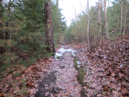
Trail was damp, but otherwise in good shape. Small patch of snow in a shaded area.
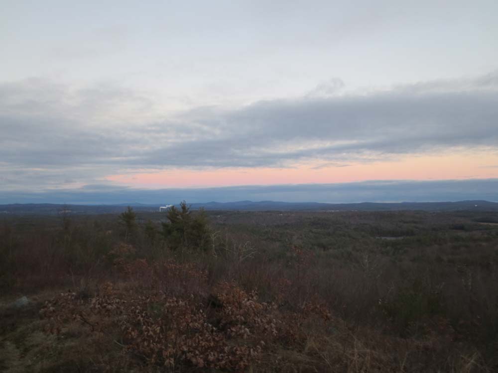
Good views in most directions with leaves down from three viewpoints on this quasi-loop, including one adjacent to the highpoint.
Only about 1.2 miles roundtrip, but there are additional trails that could make for a decent trailrun if in the Concord area.
| Hike Ratings |
|
Getting To Trailhead: |
Easy |
| Destination: |
Great Hill |
|
Length: |
Easy |
|
Steepness: |
Easy |
|
Navigation: |
Easy |
|
Views: |
Excellent |
|
Crowds: |
Minimal |
|
| Hike Stats |
|
Date Hiked: |
Wednesday, December 19, 2012 |
| Parking Elevation: |
965' |
| Destination: |
Great Hill |
| Time Elapsed: |
00:08 |
| Trailhead Elevation: |
740' |
| Summit Elevation: |
875' |
| Vertical Gain: |
155' |
|
|
| Hike Time Elapsed: |
00:32 |
| Hike Vertical Gain: |
180' |
|
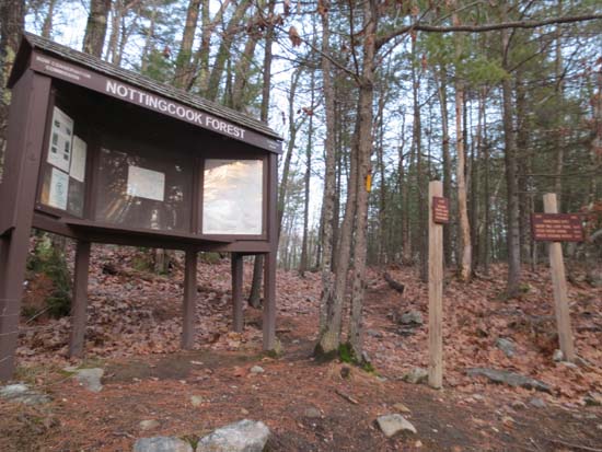
Hamilton's Path trailhead on South Bow Road
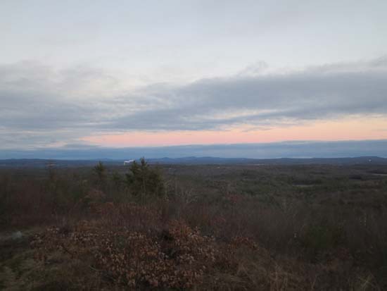
Looking northeast from one of the Great Hill vistas
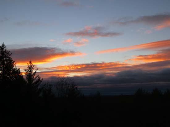
The sunset as seen from near the summit of Great Hill

Directions to trailhead: From Exit 1 of I-89, take Logging Hill Road south through Bow (Logging Hill Road becomes Bow Center Road and then Woodhill Road). Take a left onto South Bow Road. Shortly after passing under high tension power lines, the Nottingcook Forest kiosk will be on the left, with room to park on the side of the road. Hamilton's Path is on the right side of the kiosk.
Back to Great Hill Profile
|