Home
States
Colorado
Connecticut
Maine
Massachusetts
New Hampshire
New York
Rhode Island
Utah
Vermont
View All
Lists
NE 4,000 Footers
NE 100 Highest
NH 4,000 Footers
NH 100 Highest
NH 52 With A View
NH Belknap Range
NH Ossipee 10
Links
Trail Conditions
Trip Log
Sunrises
Sunsets
About
|
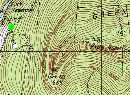
Green Mountain
Claremont, NH
Trailheads, measurements, times, distances, and maps are all approximate and relative to the hike(s) as shown below.
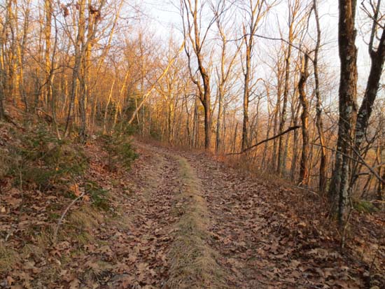
Looking up the access road on the way to the summit of Green Mountain
Route: Access road
Lower portion of access road was muddy with some black ice, however once on the ridge, it was generally dry with the occasional puddle (breakable ice on top).
The highpoint looks to be adjacent to the third communications tower setup. Did a very brief, easy bushwhack south from there to some ledges for excellent views south and west.
| Hike Ratings |
|
Getting To Trailhead: |
Easy |
| Destination: |
Green Mountain |
|
Length: |
Moderate |
|
Steepness: |
Moderate |
|
Navigation: |
Moderate |
|
Views: |
Excellent |
|
Crowds: |
Minimal |
|
| Hike Stats |
|
Date Hiked: |
Friday, November 16, 2012 |
| Parking Elevation: |
1,200' |
| Destination: |
Green Mountain |
| Time Elapsed: |
00:22 |
| Trailhead Elevation: |
1,200' |
| Summit Elevation: |
2,018' |
| Vertical Gain: |
858' |
|
|
| Hike Time Elapsed: |
01:10 |
| Hike Vertical Gain: |
908' |
|
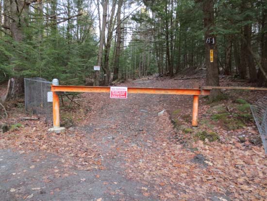
The start of the tower access road
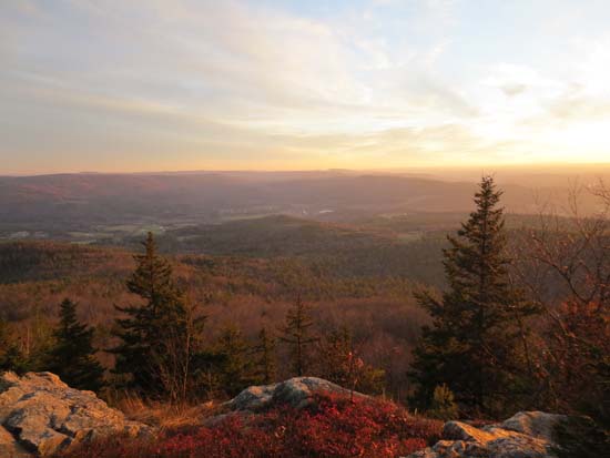
Looking at south from the Green Mountain ledges
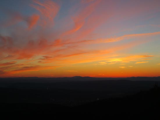
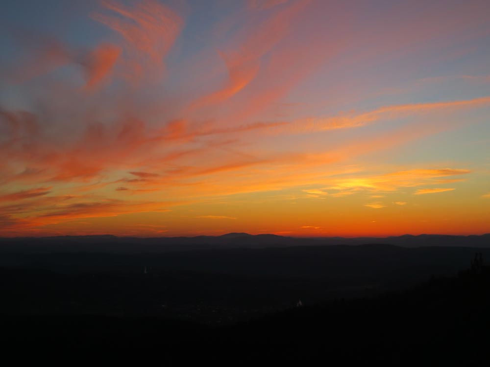
The sunset over Southern Vermont as seen from the Green Mountain ledges

Directions to trailhead: Take Route 11 West from Walmart in Claremont, then take a right onto Winter Street. Take a right onto Veteran's Park Road. Bear left, then across, onto Cat Hole Road. This road eventually becomes an unmaintained road - park somewhere around here (limited room), then proceed on foot through the gate on the right.
Back to Green Mountain Profile
|