Home
States
Colorado
Connecticut
Maine
Massachusetts
New Hampshire
New York
Rhode Island
Utah
Vermont
View All
Lists
NE 4,000 Footers
NE 100 Highest
NH 4,000 Footers
NH 100 Highest
NH 52 With A View
NH Belknap Range
NH Ossipee 10
Links
Trail Conditions
Trip Log
Sunrises
Sunsets
About
|
Gunstock Mountain
Gilmanton, NH, Gilford, NH
Trailheads, measurements, times, distances, and maps are all approximate and relative to the hike(s) as shown below.
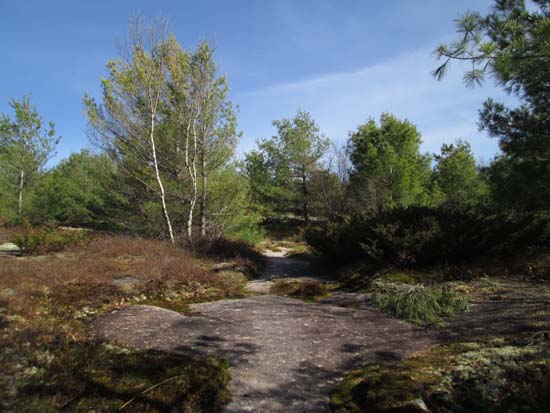
Ascending the Purple Trail
Route: Blue Trail, Purple Trail, Belknap Range Trail, herd path, ski trails, (Gunstock Mountain), ski trails, Purple Trail
Blue Trail up from the elementary school was mostly dry with occasional short areas of mud.
Purple Trail becomes red blazed just before reaching the White Trail (Belknap Range Trail). A few really mucky areas that can be avoided by following herd paths or light bushwhacks, otherwise mostly dry.
Took the White Trail up to the herd path from the original Gunstock Ski Hoist ski area. Mostly dry with a few minor patches of mud. After likely finding the old tow remains (old cable and old frame), I hopped out onto the ski trails, which still have plenty of snow on them in places. Trigger has a good extended run of continuous snow cover.
Blue skies, temperatures in the upper 60s, no biting bugs. If all spring hiking could be like this...
| Hike Ratings |
|
Getting To Trailhead: |
Easy |
| Destination: |
Gunstock Mountain |
|
Length: |
Moderate |
|
Steepness: |
Moderate |
|
Navigation: |
Easy |
|
Views: |
Excellent |
|
Crowds: |
Minimal |
|
| Hike Stats |
|
Date Hiked: |
Wednesday, May 7, 2014 |
| Parking Elevation: |
745' |
| Destination: |
Gunstock Mountain |
| Time Elapsed: |
01:23 |
| Trailhead Elevation: |
745' |
| Summit Elevation: |
2,245' |
| Vertical Gain: |
1,850' |
|
|
| Hike Time Elapsed: |
02:25 |
| Hike Vertical Gain: |
1,900' |
|
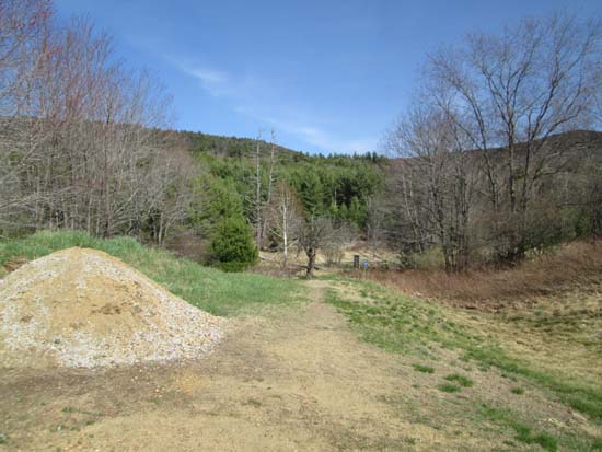
The Gunstock Mountain Trail trailhead on the Carriage Road
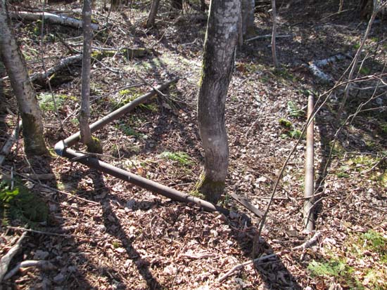
Possible remnants of the top of the Gunstock Ski Hoist lift
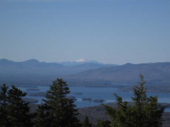
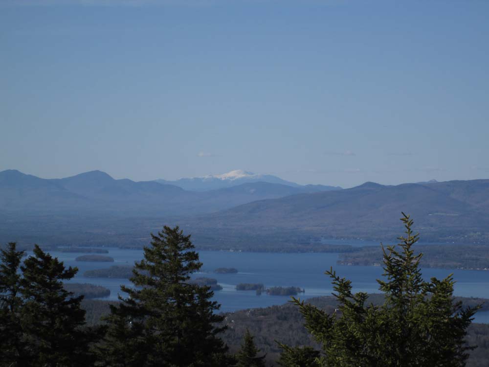
Mt. Washington as seen from Gunstock Mountain
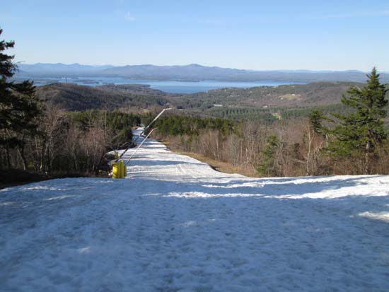
Plenty of snow left on the slopes in May!
Directions to trailhead: From Route 11A East (from Route 3), take a right on Hoyt Road. Continue down this road as it becomes Belknap Mountain Road. Look for Carriage Road on your left - limited parking next to the gate.
Back to Gunstock Mountain Profile
|