Home
States
Colorado
Connecticut
Maine
Massachusetts
New Hampshire
New York
Rhode Island
Utah
Vermont
View All
Lists
NE 4,000 Footers
NE 100 Highest
NH 4,000 Footers
NH 100 Highest
NH 52 With A View
NH Belknap Range
NH Ossipee 10
Links
Trail Conditions
Trip Log
Sunrises
Sunsets
About
|
Gunstock Mountain
Gilmanton, NH, Gilford, NH
Trailheads, measurements, times, distances, and maps are all approximate and relative to the hike(s) as shown below.
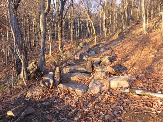
Looking up the Blue Trail
Route: Carriage Road, Blue Trail, Saddle Trail, ski trail, (Gunstock Mountain), Gunstock Mountain Trail
Trails were mostly dry. Some areas of deep, rock hiding leaves (lower Blue Trail) and slippery leaves (middle portion of Gunstock Mountain Trail).
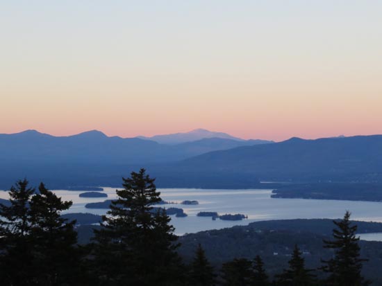
Nice sunset from the upper ledges near of the Gunstock Mountain Trail
| Hike Ratings |
|
Getting To Trailhead: |
Difficult |
| Destination: |
Gunstock Mountain |
|
Length: |
Moderate |
|
Steepness: |
Moderate |
|
Navigation: |
Easy |
|
Views: |
Excellent |
|
Crowds: |
Minimal |
|
| Hike Stats |
|
Date Hiked: |
Monday, November 9, 2015 |
| Time to Trailhead: |
00:15 |
| Parking Elevation: |
1,030' |
| Destination: |
Gunstock Mountain |
| Time Elapsed: |
00:13 |
| Trailhead Elevation: |
1,710' |
| Summit Elevation: |
2,245' |
| Vertical Gain: |
555' |
|
|
| Hike Time Elapsed: |
01:04 |
| Hike Vertical Gain: |
1,255' |
|
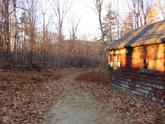
The Blue Trail trailhead atop the Carriage Road
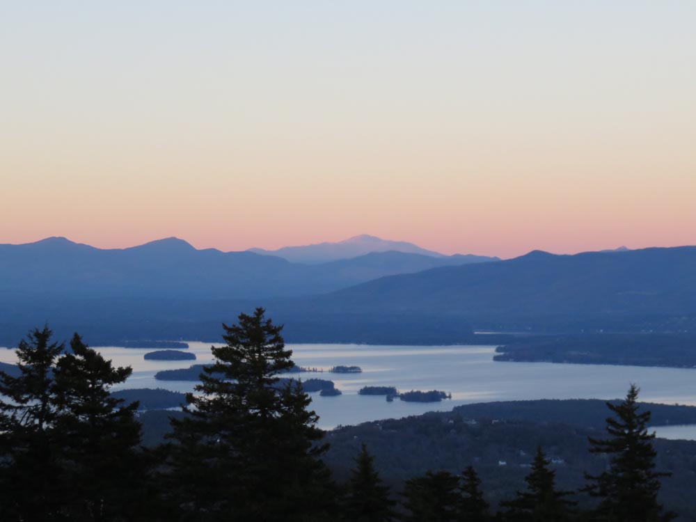
Lake Winnipesaukee and Mt. Washington as seen from Gunstock Mountain
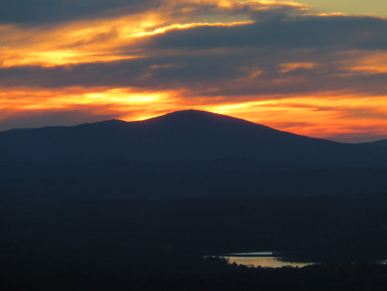
The sunset from the western Gunstock Mountain ledges
Directions to trailhead: From Route 11A East (from Route 3), take a right on Hoyt Road. Continue down this road as it becomes Belknap Mountain Road. Look for Carriage Road on your left - limited parking next to the gate.
Back to Gunstock Mountain Profile
|