Home
States
Colorado
Connecticut
Maine
Massachusetts
New Hampshire
New York
Rhode Island
Utah
Vermont
View All
Lists
NE 4,000 Footers
NE 100 Highest
NH 4,000 Footers
NH 100 Highest
NH 52 With A View
NH Belknap Range
NH Ossipee 10
Links
Trail Conditions
Trip Log
Sunrises
Sunsets
About
|
Gunstock Mountain
Gilmanton, NH, Gilford, NH
Trailheads, measurements, times, distances, and maps are all approximate and relative to the hike(s) as shown below.
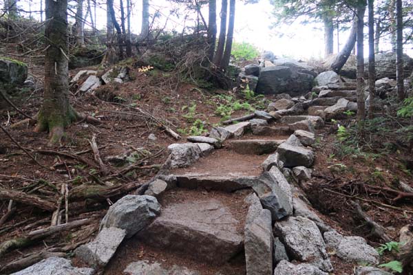
Looking up the summit spur
Route: Gunstock Mountain Trail, (Gunstock Mountain), Saddle Trail, Blue Trail, Carriage Road
Trails were mostly dry.
Viewpoint near the Gunstock Mountain Trail - Ridge Trail junction has been greatly improved this year, so it now provides a good sunset perspective fall through spring.
Foliage still generally green. Hot and humid evening.
| Hike Ratings |
|
Getting To Trailhead: |
Easy |
| Destination: |
Gunstock Mountain |
|
Length: |
Moderate |
|
Steepness: |
Moderate |
|
Navigation: |
Easy |
|
Views: |
Excellent |
|
Crowds: |
Minimal |
|
| Hike Stats |
|
Date Hiked: |
Tuesday, September 26, 2017 |
| Parking Elevation: |
1,030' |
| Destination: |
Gunstock Mountain |
| Time Elapsed: |
00:29 |
| Trailhead Elevation: |
1,020' |
| Summit Elevation: |
2,245' |
| Vertical Gain: |
1,225' |
|
|
| Hike Time Elapsed: |
01:06 |
| Hike Vertical Gain: |
1,255' |
|
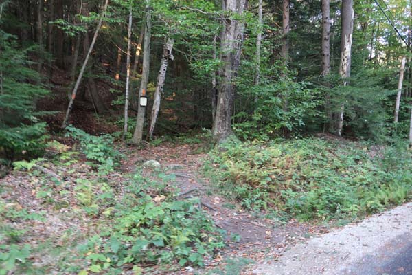
The Gunstock Mountain Trail trailhead

The sunset from the western Gunstock Mountain ledges
Directions to trailhead: From Route 11A East (from Route 3), take a right on Hoyt Road. Continue down this road as it becomes Belknap Mountain Road. Look for Carriage Road on your left - limited parking next to the gate.
Back to Gunstock Mountain Profile
|