Home
States
Colorado
Connecticut
Maine
Massachusetts
New Hampshire
New York
Rhode Island
Utah
Vermont
View All
Lists
NE 4,000 Footers
NE 100 Highest
NH 4,000 Footers
NH 100 Highest
NH 52 With A View
NH Belknap Range
NH Ossipee 10
Links
Trail Conditions
Trip Log
Sunrises
Sunsets
About
|
Hersey Mountain
New Hampton, NH, Sanbornton, NH
Trailheads, measurements, times, distances, and maps are all approximate and relative to the hike(s) as shown below.
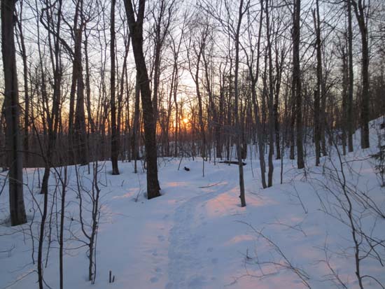
The trail to Hersey Mountain
Route: Carter Mountain Road, logging road, Carter Mountain Road, logging road, unknown trail, (Hersey Mountain), unknown trail, logging road, Carter Mountain Road
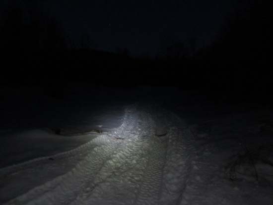
No foot traffic up the trail since Saturday. It looks like someone attempted to fourwheel up my tracks, however the big log in the back of the logging landing fortunately stopped them.
Trail is still hardpack (1-2 feet of base), but not firm enough to bareboot. My tracks should be easy to follow until the snowstorm moves in.
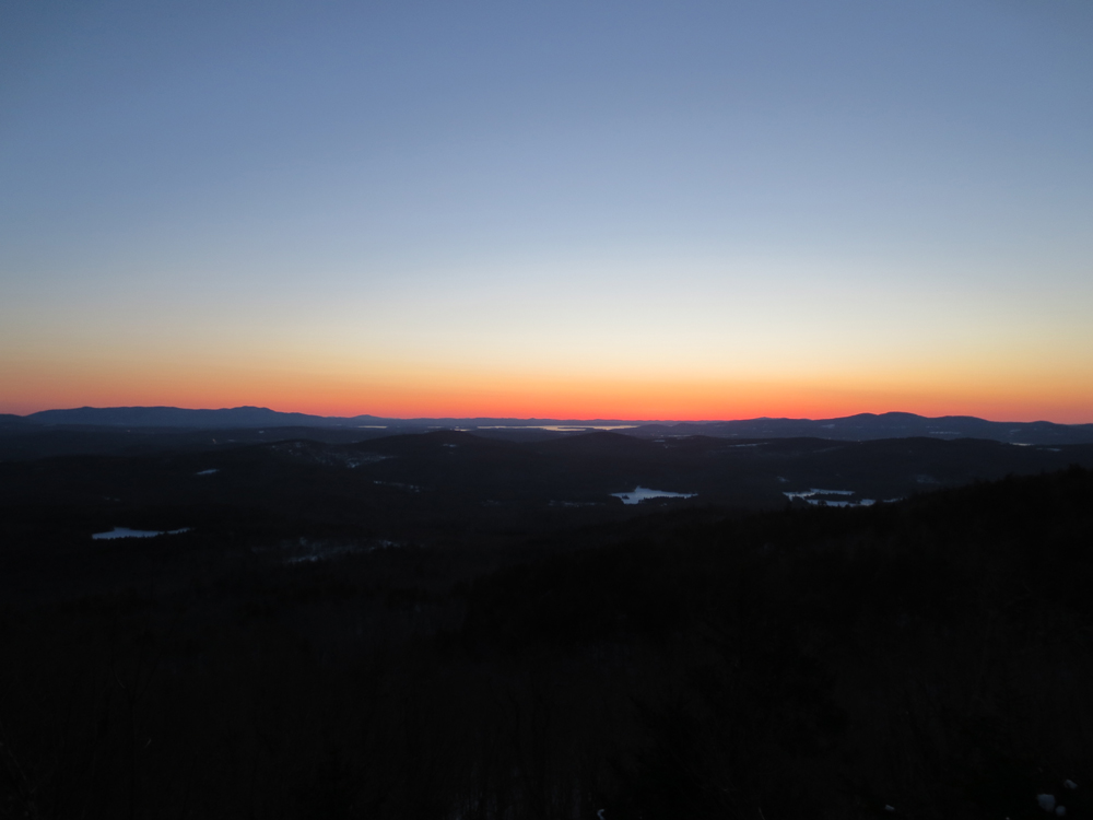
Excellent sunrise between the Ossipees and Belknaps.
| Hike Ratings |
|
Getting To Trailhead: |
Moderate |
| Destination: |
Hersey Mountain |
|
Length: |
Moderate |
|
Steepness: |
Difficult |
|
Navigation: |
Difficult |
|
Views: |
Excellent |
|
Crowds: |
Minimal |
|
| Hike Stats |
|
Date Hiked: |
Monday, March 18, 2013 |
| Parking Elevation: |
1,030' |
| Time to Trailhead: |
00:13 |
| Destination: |
Hersey Mountain |
| Time Elapsed: |
00:29 |
| Trailhead Elevation: |
1,110' |
| Summit Elevation: |
2,001' |
| Vertical Gain: |
911' |
|
|
| Hike Time Elapsed: |
01:41 |
| Hike Vertical Gain: |
961' |
|
The logging landing at the corner of George Duncan State Forest
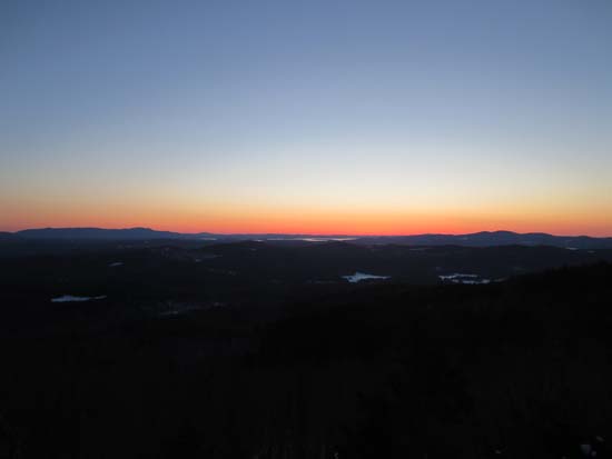
Sunrise from Hersey Mountain
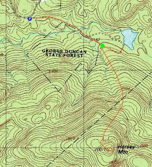

Directions to trailhead: From I-93 in New Hampton, take Route 104 West. Take a left onto Route 132. Shortly thereafter, take a right onto Old Bristol Road. Awhile down this road, take a left onto Carter Mountain Road. There will eventually be a Class IV road sign, with adjacent gate. In winter, there is limited plowed parking to the right of this gate. One can continue down the road on foot, passing straight through snowmobile junction D. Shortly thereafter, there is a logging landing on the right (at the border of George Duncan State Forest). A quasi trail heads uphill on an increasingly faint logging road from this landing (ignore a chained road on the left at the lower landing).
Back to Hersey Mountain Profile
|