Home
States
Colorado
Connecticut
Maine
Massachusetts
New Hampshire
New York
Rhode Island
Utah
Vermont
View All
Lists
NE 4,000 Footers
NE 100 Highest
NH 4,000 Footers
NH 100 Highest
NH 52 With A View
NH Belknap Range
NH Ossipee 10
Links
Trail Conditions
Trip Log
Sunrises
Sunsets
About
|
Huntington Hill
Holderness, NH
Trailheads, measurements, times, distances, and maps are all approximate and relative to the hike(s) as shown below.
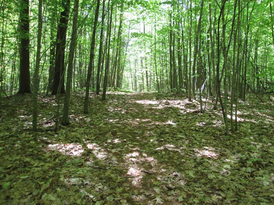
A trail/old road
Route: Various trails, logging roads, bushwhack
Probably best to give this conservation area some time, as it's being heavily logged. Initial walk through the state land off Hanover Center Road was okay (trails are very confusing though, weaving through fields and old roads without consistent markings), however reaching the conservation land, there were scores of skid roads and lots of slash (and any existing trail network was pretty well disrupted and virtually impossible to follow). There also didn't appear to be any sort of view. Not many redeeming qualities at this point.
| Hike Ratings |
|
Getting To Trailhead: |
Easy |
| Destination: |
Huntington Hill |
|
Length: |
Moderate |
|
Steepness: |
Easy |
|
Navigation: |
Difficult |
|
Views: |
Minimal |
|
Crowds: |
Minimal |
|
| Hike Stats |
|
Date Hiked: |
Sunday, May 25, 2014 |
| Parking Elevation: |
1,100' |
| Destination: |
Huntington Hill |
| Time Elapsed: |
00:27 |
| Trailhead Elevation: |
1,080' |
| Summit Elevation: |
1,270' |
| Vertical Gain: |
300' |
|
|
| Hike Time Elapsed: |
00:54 |
| Hike Vertical Gain: |
450' |
|
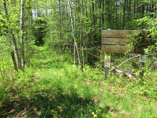
The Huntington Hill trailhead off Hanover Center Road
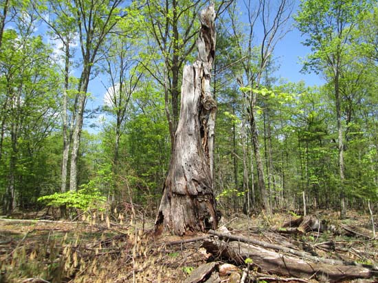
An old tree in the general summit area
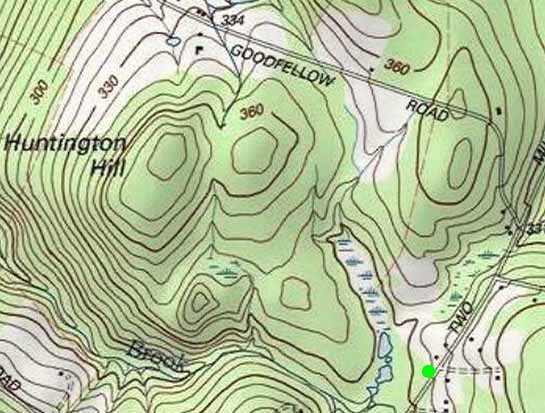

Directions to trailhead: From Etna, take Etna Road (Hanover Center Road) north. The Huntington Hill trailhead is on the left between Dogford and Goodfellow roads, with limited roadside parking.
Back to Huntington Hill Profile
|

