Home
States
Colorado
Connecticut
Maine
Massachusetts
New Hampshire
New York
Rhode Island
Utah
Vermont
View All
Lists
NE 4,000 Footers
NE 100 Highest
NH 4,000 Footers
NH 100 Highest
NH 52 With A View
NH Belknap Range
NH Ossipee 10
Links
Trail Conditions
Trip Log
Sunrises
Sunsets
About
|
Kearsarge North Mountain
Bartlett, NH, Chatham, NH
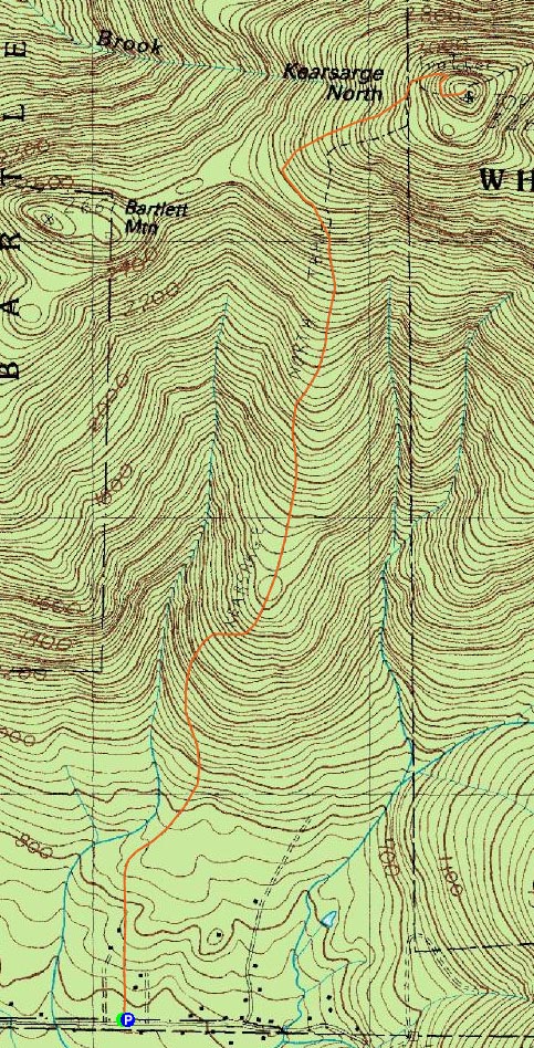
Trailheads, measurements, times, distances, and maps are all approximate and relative to the hike(s) as shown below.
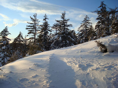
Looking up the windblown Kearsarge North Trail
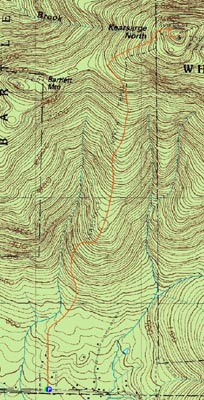
Route: Kearsarge North Trail
Today's challenge was to do a more significant mountain as a sunset hike. I debated doing Middle Sister, South Moat Mountain, and Kearsarge North Mountain, however in the end, the latter won out due to the probability of a broken out trail and the enclosed summit tower.
Though the parking lot wasn't perfectly cleared out, it was plowed/packed enough for me. I was optimistic when I looked out and saw the trail had been recently used.
The lower flats of the trail were well packed. However, after the trail started to ascend, it was clear the only recent traffic was a pair of alpine ski tracks. Nonetheless, the trail was pretty obvious, aside from where the ski tracks broke off to the east.
After that, it was clear no one had been on the track in a day or so. Portions in the open ledges area were almost completely concealed by windblown snow - thank gosh I knew the trail and was wearing snowshoes!
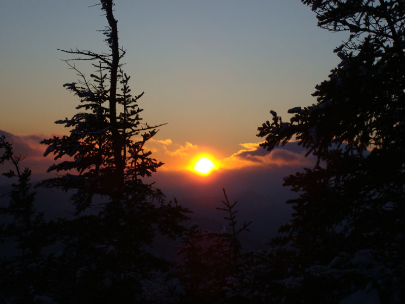
As I arrived in the summit, the sun was setting a few minutes ahead of the Wunderground time. Boy did the wind pick up, too! After taking a few photos, I quickly went into the summit room and started to add layers.
The sunset wasn't overly great, as the last part of it was obscured by clouds. Despite the fact I was in a room and not out in the wind, it was very cold.
Once I decided I wasn't going to get much warmer standing around, I put on my back and headed out. Since my hands were freezing due to the wind and taking photos, I grabbed my snowshoes and walked down the trail into the trees before putting them on. Not too long after this, my headlamp started to flake out. Soon thereafter, my Camelbak line froze. Hooray. Forutnately, I had extra batteries for the headlamp (and extra water in a bottle if I had needed it).
By the time I made it back to the parking lot, a minor hip pain I've had during the last few hikes was becoming rather notable. Time for some rest!
| Hike Ratings |
|
Getting To Trailhead: |
Easy |
| Destination: |
Kearsarge North Mountain |
|
Length: |
Moderate |
|
Steepness: |
Difficult |
|
Navigation: |
Easy |
|
Views: |
Excellent |
|
Crowds: |
Moderate |
|
| Hike Stats |
|
Date Hiked: |
Monday, February 11, 2008 |
| Hike Commenced: |
3:26 PM |
| Parking Elevation: |
685' |
| Destination: |
Kearsarge North Mountain |
| Ascent Commenced: |
3:26 PM |
| Summit Reached: |
5:04 PM |
| Time Elapsed: |
01:38 |
| Trailhead Elevation: |
685' |
| Summit Elevation: |
3,268' |
| Distance: |
3.1 miles |
| Vertical Gain: |
2,618' |
|
|
| Hike Ended: |
6:44 PM |
| Hike Time Elapsed: |
03:18 |
| Hike Distance: |
6.2 miles |
| Hike Vertical Gain: |
2,653' |
|
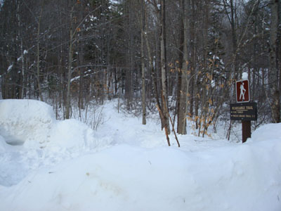
Kearsarge North Trail trailhead on Hurricane Mountain Road

Looking at sunset from near the Kearsarge North summit

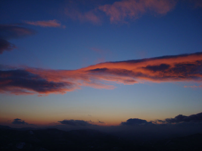
Colorful clouds at sunset as seen from the tower on Kearsarge North

Directions to trailhead: On Route 16 North, take a right after North Conway onto Hurricane Mountain Road. The trailhead and small parking lot will be up the road on the left (before the fork in the road).
Back to Kearsarge North Mountain Profile
|