Home
States
Colorado
Connecticut
Maine
Massachusetts
New Hampshire
New York
Rhode Island
Utah
Vermont
View All
Lists
NE 4,000 Footers
NE 100 Highest
NH 4,000 Footers
NH 100 Highest
NH 52 With A View
NH Belknap Range
NH Ossipee 10
Links
Trail Conditions
Trip Log
Sunrises
Sunsets
About
|
Kearsarge North Mountain
Bartlett, NH, Chatham, NH
Trailheads, measurements, times, distances, and maps are all approximate and relative to the hike(s) as shown below.
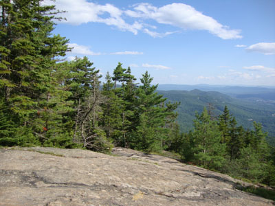
Looking down the Kearsarge North Trail
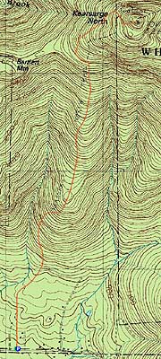
Route: Kearsarge North Trail, (Kearsarge North Mountain), bushwhack, Kearsarge North Trail
With decent weather, it was time to return to Kearsarge North Mountain. Starting at Hurricane Mountain Road, we jogged the flats, then took our time on the ledges. Upon reaching the summit, we had excellent views in all directions (though the higher summits were in the clouds).
After checking out the views for awhile, we headed south-southwest from the summit. Exploring countless open view ledges, it was fairly easy going for quite some time (though there was a deep gully to get around at one point). However, after dropping perhaps 250-300 vertical feet, we hit cliff areas surrounded by blowdown-filled woods. To get around this, we eventually reclimbed a bit, then pushed back over to the trail near the middle ledge portion.
| Hike Ratings |
|
Getting To Trailhead: |
Easy |
| Destination: |
Kearsarge North Mountain |
|
Length: |
Moderate |
|
Steepness: |
Difficult |
|
Navigation: |
Easy |
|
Views: |
Excellent |
|
Crowds: |
Moderate |
|
| Hike Stats |
|
Date Hiked: |
Thursday, July 22, 2010 |
| Hike Commenced: |
3:45 PM |
| Parking Elevation: |
685' |
| Destination: |
Kearsarge North Mountain |
| Ascent Commenced: |
3:45 PM |
| Summit Reached: |
5:13 PM |
| Time Elapsed: |
01:28 |
| Trailhead Elevation: |
685' |
| Summit Elevation: |
3,268' |
| Distance: |
3.1 miles |
| Vertical Gain: |
2,618' |
|
|
| Hike Ended: |
8:41 PM |
| Hike Time Elapsed: |
04:56 |
| Hike Vertical Gain: |
2,953' |
|
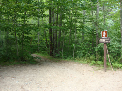
Kearsarge North Trail trailhead on Hurricane Mountain Road
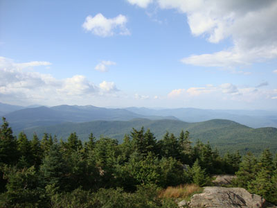
Looking at Mt. Washington from the Kearsarge North Mountain fire tower
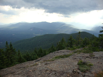
Ledges south of the summit area of Kearsarge North

Directions to trailhead: On Route 16 North, take a right after North Conway onto Hurricane Mountain Road. The trailhead and small parking lot will be up the road on the left (before the fork in the road).
Back to Kearsarge North Mountain Profile
|