Home
States
Colorado
Connecticut
Maine
Massachusetts
New Hampshire
New York
Rhode Island
Utah
Vermont
View All
Lists
NE 4,000 Footers
NE 100 Highest
NH 4,000 Footers
NH 100 Highest
NH 52 With A View
NH Belknap Range
NH Ossipee 10
Links
Trail Conditions
Trip Log
Sunrises
Sunsets
About
|
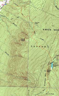
Kinsman Mountain (North Peak), Kinsman Mountain (South Peak)
Easton, NH, Lincoln, NH
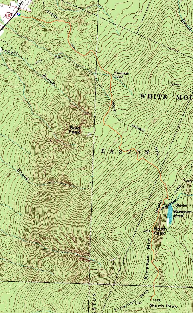
Trailheads, measurements, times, distances, and maps are all approximate and relative to the hike(s) as shown below.
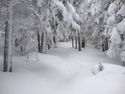
Looking up the drifted Mt. Kinsman Trail
Route: Mt. Kinsman Trail, Kinsman Ridge Trail, (Kinsman Mountain North Peak), Kinsman Ridge Trail, (Kinsman Mountain South Peak), Kinsman Ridge Trail, (Kinsman Mountain North Peak), Kinsman Ridge Trail, Mt. Kinsman Trail
Not a fan of the eastern approach, I opted to hike the Kinsmans via the Mt. Kinsman Trail. While not plowed, the new Mt. Kinsman Trail lot had very little snow, thus making for easy parking.
There was very little snow for the first mile or so of trail - literally half an inch of powder on top of dirt. Depths increased as I climbed, finally justifying snowshoes above the Bald Peak spur junction. Nearing the ridge, the trail was drifted, resulting in breaking of about 6" of snow.
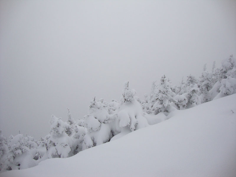
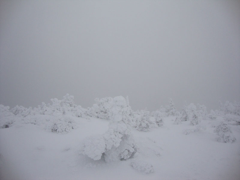
The ridge had already been broken out, making for pretty smooth sailing. The scramble ledges on either end of North Kinsman were filled in nicely. Unfortunately, there were no views from either peak due to clouds.
| Hike Ratings |
|
Getting To Trailhead: |
Easy |
| Destination: |
Kinsman Mountain (North Peak) |
|
Length: |
Moderate |
|
Steepness: |
Difficult |
|
Navigation: |
Easy |
|
Views: |
Excellent |
|
Crowds: |
Minimal |
| Destination: |
Kinsman Mountain (South Peak) |
|
Length: |
Moderate |
|
Steepness: |
Difficult |
|
Navigation: |
Easy |
|
Views: |
Excellent |
|
Crowds: |
Minimal |
|
| Hike Stats |
|
Date Hiked: |
Saturday, February 20, 2010 |
| Hike Commenced: |
8:09 AM |
| Parking Elevation: |
1,060' |
| Destination: |
Kinsman Mountain (North Peak) |
| Ascent Commenced: |
8:09 AM |
| Summit Reached: |
10:19 AM |
| Time Elapsed: |
02:10 |
| Trailhead Elevation: |
1,060' |
| Summit Elevation: |
4,293' |
| Vertical Gain: |
3,263' |
| Destination: |
Kinsman Mountain (South Peak) |
| Ascent Commenced: |
10:19 AM |
| Summit Reached: |
10:47 AM |
| Time Elapsed: |
00:28 |
| Trailhead Elevation: |
4,293' |
| Summit Elevation: |
4,358' |
| Distance: |
.9 mile |
| Vertical Gain: |
373' |
|
|
| Hike Ended: |
1:39 PM |
| Hike Time Elapsed: |
05:30 |
| Hike Vertical Gain: |
3,994' |
|
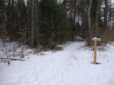
The new Mt. Kinsman Trail trailhead off Route 116
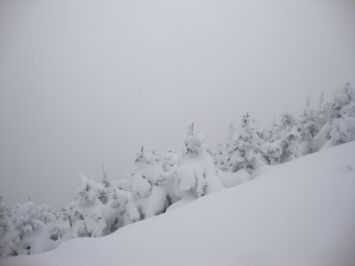
Cloud as seen from the ledge near the summit of Kinsman Mountain's North Peak
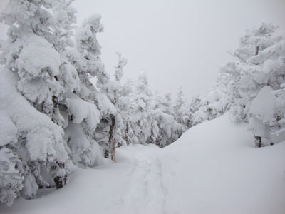
The Kinsman Ridge Trail between the peaks
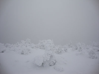
Cloud as seen from near the summit of Kinsman Mountain's South Peak

Directions to trailhead: Take Route 112 West from Lincoln to Route 116 North. The short road to the Mt. Kinsman Trail trailhead and parking area will eventually be on the right, just before Tamarack Camp.
Back to Kinsman Mountain (North Peak) Profile
Back to Kinsman Mountain (South Peak) Profile
|