Home
States
Colorado
Connecticut
Maine
Massachusetts
New Hampshire
New York
Rhode Island
Utah
Vermont
View All
Lists
NE 4,000 Footers
NE 100 Highest
NH 4,000 Footers
NH 100 Highest
NH 52 With A View
NH Belknap Range
NH Ossipee 10
Links
Trail Conditions
Trip Log
Sunrises
Sunsets
About
|
Kinsman Mountain (North Peak), Kinsman Mountain (South Peak)
Easton, NH, Lincoln, NH
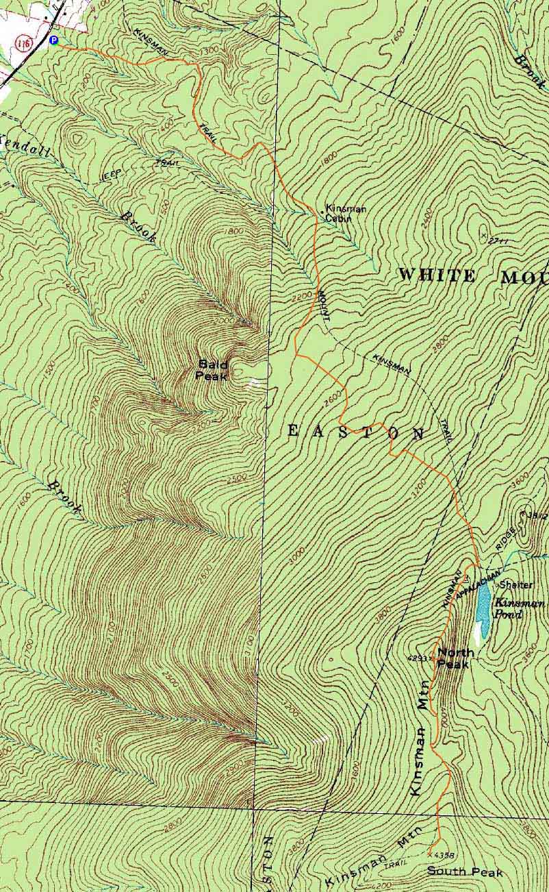
Trailheads, measurements, times, distances, and maps are all approximate and relative to the hike(s) as shown below.
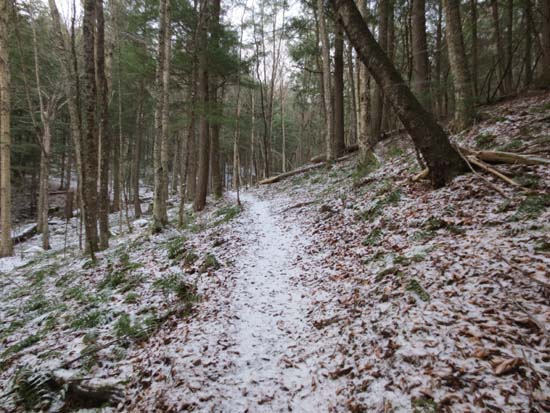
The lower Mt. Kinsman Trail
Route: Mt. Kinsman Trail, Kinsman Ridge Trail, (Kinsman Mountain North Peak), Kinsman Ridge Trail, (Kinsman Mountain South Peak), Kinsman Ridge Trail, (Kinsman Mountain North Peak), Kinsman Ridge Trail, Mt. Kinsman Trail
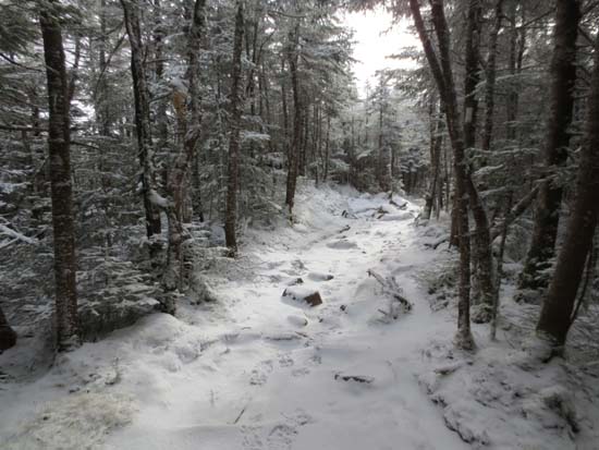
First two miles of the trail were smooth sailing with a dusting of snow.
Blue ice started popping up during the ascent above the Bald Peak junction. It wasn't a terrible amount, but you had to be careful. Otherwise, just a dusting of snow.
Kinsman Ridge Trail from the junction to the summit of North was very icy. Dull Microspikes didn't suffice. Crampons would probably be overkill. Generally most of the ice was low angle with a dusting of snow on the ground, but some of the scramble ledges were also icy.
There was also some ice between the peaks, but not quite as much as the stretch prior to north. Never encountered more than an inch or so of snow.
| Hike Ratings |
|
Getting To Trailhead: |
Easy |
| Destination: |
Kinsman Mountain (North Peak) |
|
Length: |
Moderate |
|
Steepness: |
Difficult |
|
Navigation: |
Easy |
|
Views: |
Excellent |
|
Crowds: |
Minimal |
| Destination: |
Kinsman Mountain (South Peak) |
|
Length: |
Moderate |
|
Steepness: |
Difficult |
|
Navigation: |
Easy |
|
Views: |
Excellent |
|
Crowds: |
Minimal |
|
| Hike Stats |
|
Date Hiked: |
Sunday, November 25, 2012 |
| Parking Elevation: |
1,060' |
| Destination: |
Kinsman Mountain (North Peak) |
| Time Elapsed: |
03:05 |
| Trailhead Elevation: |
1,060' |
| Summit Elevation: |
4,293' |
| Vertical Gain: |
3,263' |
| Destination: |
Kinsman Mountain (South Peak) |
| Time Elapsed: |
00:43 |
| Trailhead Elevation: |
4,293' |
| Summit Elevation: |
4,358' |
| Distance: |
.9 mile |
| Vertical Gain: |
373' |
|
|
| Hike Time Elapsed: |
07:53 |
| Hike Vertical Gain: |
3,994' |
|
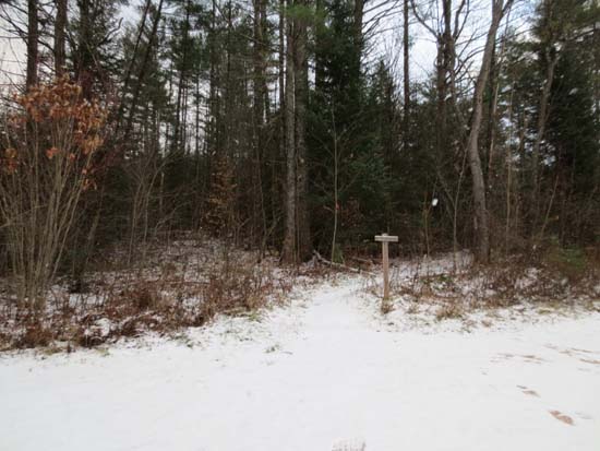
The Mt. Kinsman Trail trailhead off Route 116

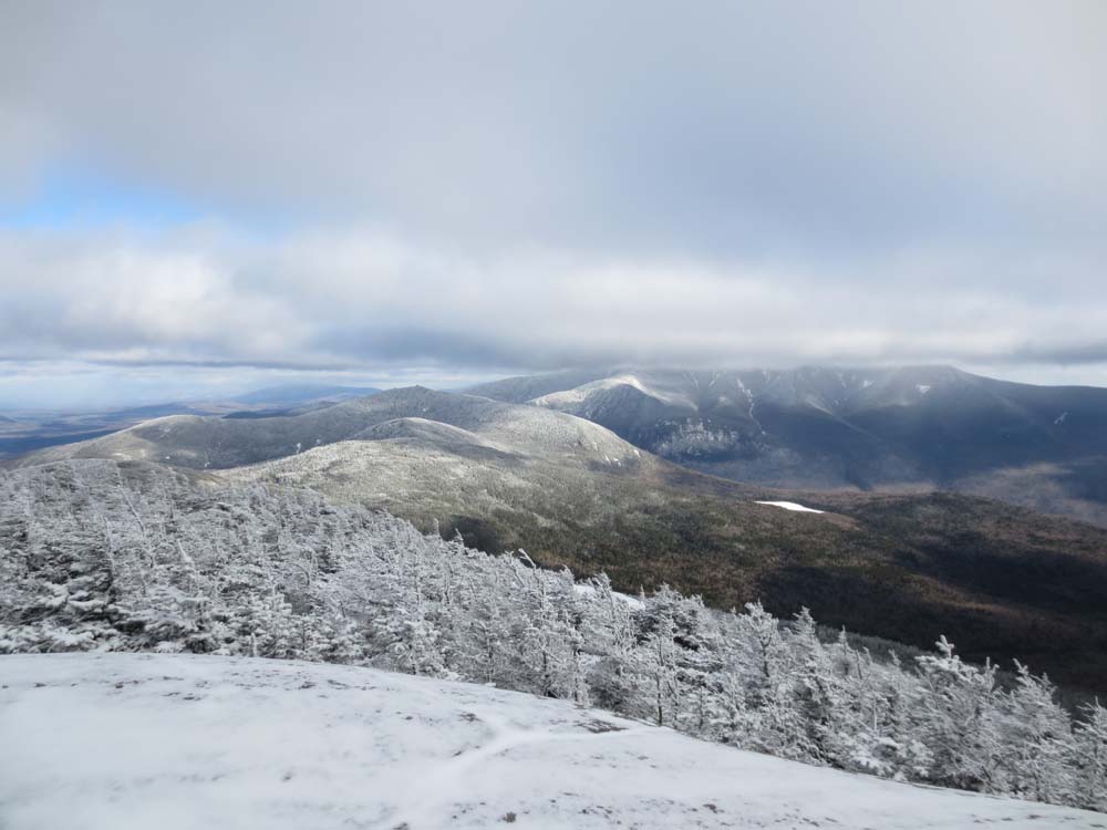
Looking at Cannon Mountain and the Franconia Ridge from the North Kinsman view ledge
The Kinsman Ridge Trail between the peaks

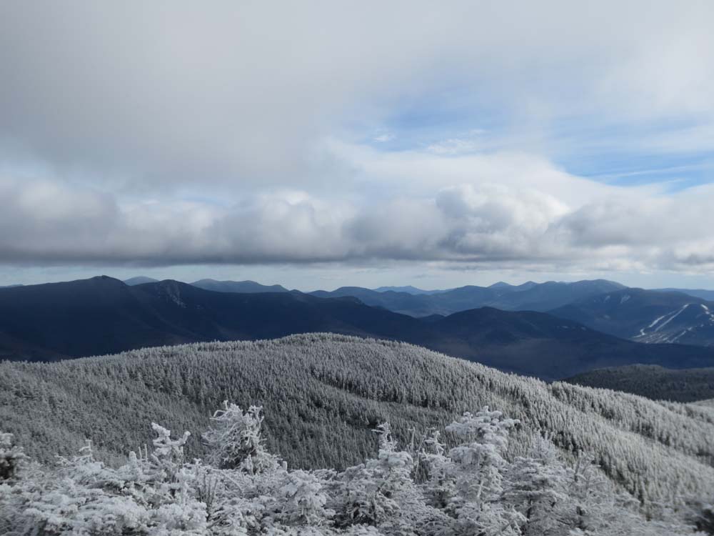
Looking southeast from South Kinsman
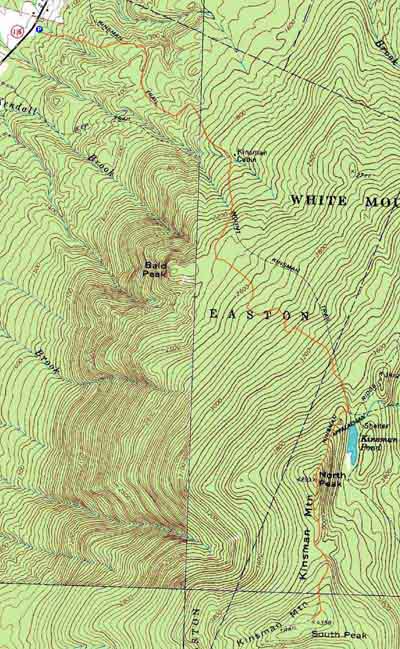

Directions to trailhead: Take Route 112 West from Lincoln to Route 116 North. The short road to the Mt. Kinsman Trail trailhead and parking area will eventually be on the right, just before Tamarack Camp.
Back to Kinsman Mountain (North Peak) Profile
Back to Kinsman Mountain (South Peak) Profile
|