Home
States
Colorado
Connecticut
Maine
Massachusetts
New Hampshire
New York
Rhode Island
Utah
Vermont
View All
Lists
NE 4,000 Footers
NE 100 Highest
NH 4,000 Footers
NH 100 Highest
NH 52 With A View
NH Belknap Range
NH Ossipee 10
Links
Trail Conditions
Trip Log
Sunrises
Sunsets
About
|
Little Roundtop
Bristol, NH
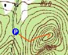
Trailheads, measurements, times, distances, and maps are all approximate and relative to the hike(s) as shown below.
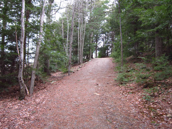
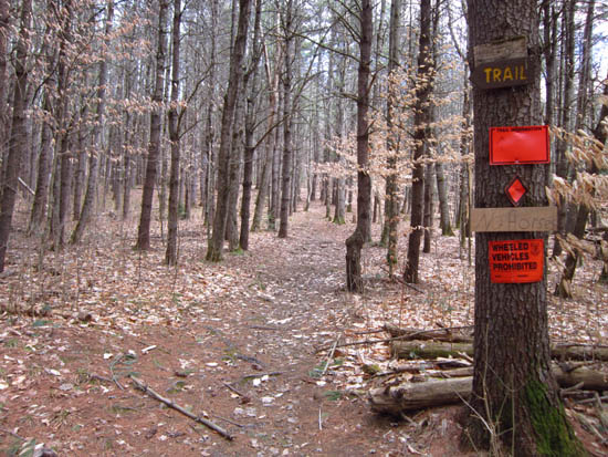
The trail to Little Roundtop
Route: Unnamed trail
Smooth, fairly gradual trail to an excellent viewpoint.
| Hike Ratings |
|
Getting To Trailhead: |
Easy |
| Destination: |
Little Roundtop |
|
Length: |
Easy |
|
Steepness: |
Moderate |
|
Navigation: |
Easy |
|
Views: |
Excellent |
|
Crowds: |
Minimal |
|
| Hike Stats |
|
Date Hiked: |
Thursday, April 5, 2012 |
| Parking Elevation: |
830' |
| Destination: |
Little Roundtop |
| Time Elapsed: |
00:03 |
| Trailhead Elevation: |
830' |
| Summit Elevation: |
1,010' |
| Vertical Gain: |
180' |
|
|
| Hike Time Elapsed: |
00:09 |
| Hike Vertical Gain: |
180' |
|
The start of the trail at the Slim Baker Area parking lot
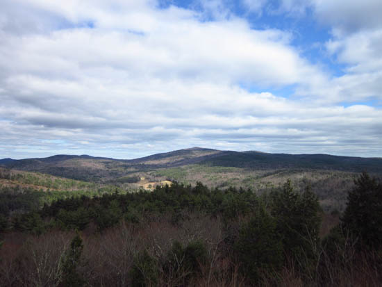
Looking at Hersey Mountain from Little Roundtop

Directions to trailhead: From Bristol, take Route 3A South, then bear right onto High Street. At a turn on that street, bear right onto New Chester Mountain Road. The Slim Baker Area parking lot will be on the left at the height of land. The trail starts on the left from the parking lot.
Back to Little Roundtop Profile
|

