Home
States
Colorado
Connecticut
Maine
Massachusetts
New Hampshire
New York
Rhode Island
Utah
Vermont
View All
Lists
NE 4,000 Footers
NE 100 Highest
NH 4,000 Footers
NH 100 Highest
NH 52 With A View
NH Belknap Range
NH Ossipee 10
Links
Trail Conditions
Trip Log
Sunrises
Sunsets
About
|
Lovewell Mountain
Washington, NH
Trailheads, measurements, times, distances, and maps are all approximate and relative to the hike(s) as shown below.
The Monadnock Sunapee Greenway
Route: Monadnock-Sunapee Greenway
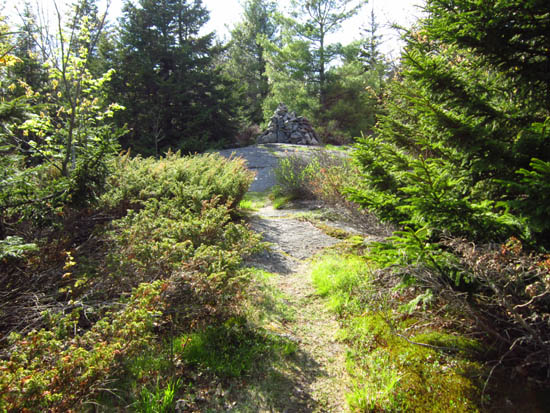
First portion was a roadwalk with puddles and rock. Generally smooth trail thereafter. Nice directional view near summit, as well as another directional view prior.
| Hike Ratings |
|
Getting To Trailhead: |
Easy |
| Destination: |
Lovewell Mountain |
|
Length: |
Moderate |
|
Steepness: |
Moderate |
|
Navigation: |
Easy |
|
Views: |
Excellent |
|
Crowds: |
Minimal |
|
| Hike Stats |
|
Date Hiked: |
Sunday, May 13, 2012 |
| Parking Elevation: |
1,548' |
| Destination: |
Lovewell Mountain |
| Time Elapsed: |
00:38 |
| Trailhead Elevation: |
1,548' |
| Summit Elevation: |
2,473' |
| Distance: |
2.3 miles |
| Vertical Gain: |
985' |
|
|
| Hike Time Elapsed: |
00:39 |
| Hike Distance: |
4.6 miles |
| Hike Vertical Gain: |
1,045' |
|
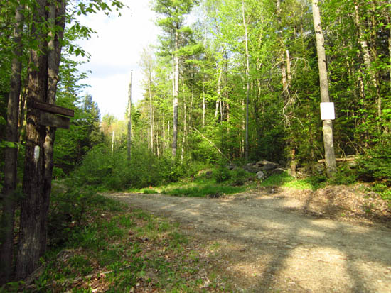
The beginning of the Lovewell Monadnock Sunapee Greenway segment

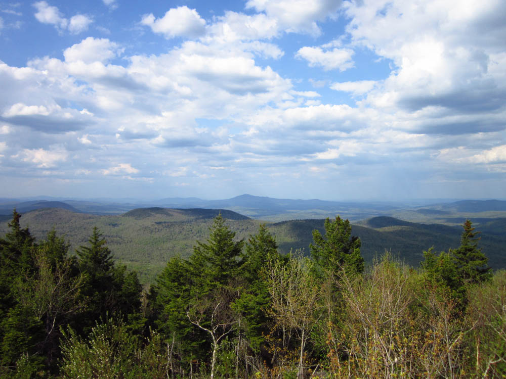
Mt. Kearsarge as seen from Lovewell Mountain
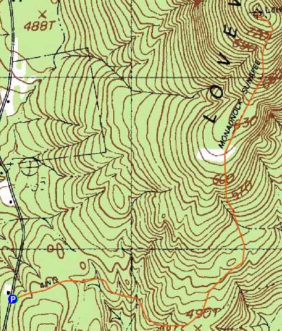

Directions to trailhead: From Washington, take Halfmoon Pond Road north. The Monadnock Sunapee Greenway section to Lovewell will eventually be on the right, as a woods road. There is limited room to park roadside.
Back to Lovewell Mountain Profile
|