Home
States
Colorado
Connecticut
Maine
Massachusetts
New Hampshire
New York
Rhode Island
Utah
Vermont
View All
Lists
NE 4,000 Footers
NE 100 Highest
NH 4,000 Footers
NH 100 Highest
NH 52 With A View
NH Belknap Range
NH Ossipee 10
Links
Trail Conditions
Trip Log
Sunrises
Sunsets
About
|
Lowes Bald Spot
Sargents Purchase, NH, Thompson and Meserves Purchase, NH
Trailheads, measurements, times, distances, and maps are all approximate and relative to the hike(s) as shown below.
The Auto Road
Route: Auto road, Madison Gulf Trail, Great Gulf Trail, Chandler Brook Trail, Auto road
Jogged up auto road to Madison Gulf Trail trailhead. Prior to Lowe's Bald Spot, Madison Gulf Trail was wet and muddy. After Lowe's Bald Spot, a few slippery places, but generally dry.
Same old, same old on Great Gulf section used - mud, slippery rock, wilderness compatible blowdowns.
Chandler Brook Trail had some slippery rocks in places. Patchy snow/ice started perhaps around 3,500 feet in elevation. Not enough to warrant traction in today's mild temperatures.
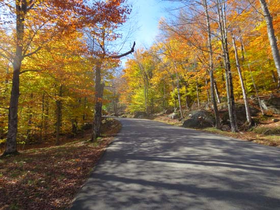
Jogged back down auto road from top of Chandler Brook Trail. While leaves are generally down, there were still some nice colors in the lower few hundred feet of vertical.
| Hike Ratings |
|
Getting To Trailhead: |
Easy |
| Destination: |
Lowes Bald Spot |
|
Length: |
Moderate |
|
Steepness: |
Difficult |
|
Navigation: |
Easy |
|
Views: |
Excellent |
|
Crowds: |
Heavy |
|
| Hike Stats |
|
Date Hiked: |
Wednesday, October 17, 2012 |
| Parking Elevation: |
1,540' |
| Destination: |
Lowes Bald Spot |
| Time Elapsed: |
00:33 |
| Trailhead Elevation: |
1,527' |
| Summit Elevation: |
2,875' |
| Vertical Gain: |
1,348' |
|
|
| Hike Time Elapsed: |
03:32 |
| Hike Vertical Gain: |
3,298' |
|
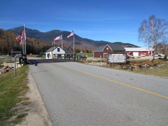
The start of the Mt. Washington Auto Road
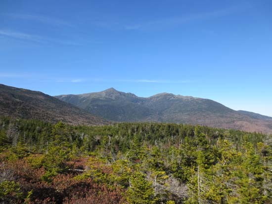
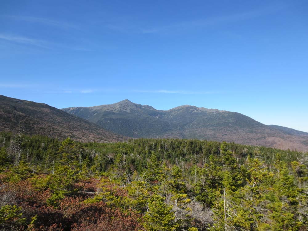
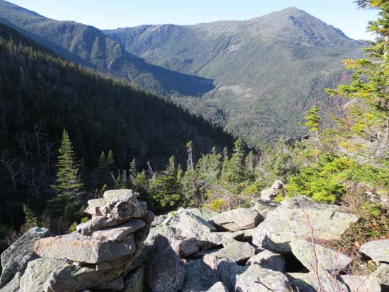
Mt. Adams and Mt. Madison as seen from Lowes Bald Spot
The upper Chandler Brook Trail
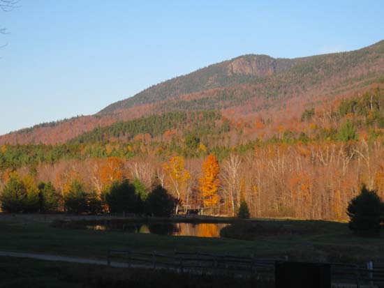
Imp Face as seen from near the bottom of the Auto Road
Directions to trailhead: The Mt. Washington Auto Road is located on Route 16, north of Wildcat
Back to Lowes Bald Spot Profile
|