Home
States
Colorado
Connecticut
Maine
Massachusetts
New Hampshire
New York
Rhode Island
Utah
Vermont
View All
Lists
NE 4,000 Footers
NE 100 Highest
NH 4,000 Footers
NH 100 Highest
NH 52 With A View
NH Belknap Range
NH Ossipee 10
Links
Trail Conditions
Trip Log
Sunrises
Sunsets
About
|
Mary's Mountain
Freedom, NH
Trailheads, measurements, times, distances, and maps are all approximate and relative to the hike(s) as shown below.
Looking down Mary's Mountain Trail
Route: Mary's Mountain Trail
Though I was planning on hiking Larcom Mountain after work, my vehicle took me to the trailhead for Mary's Mountain, perhaps in hope for a sunset.
Unfortunately, it appears the parking area for the trail isn't plowed in the winter - no problem right now for 4WD vehicles, but later on what few hikers this trail sees will likely have to park at the store across the street.
Other than some deer, the trail appeared to be unused since the previous snowstorm. Conditions ranged from dry ground to 1-2" of snow to ice.
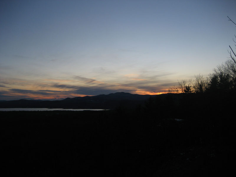
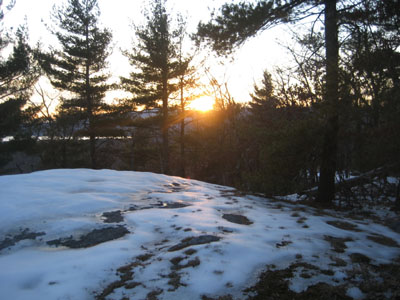
Previously on Mary's Mountain, I guestimated that there would be a slight chance of a sunset perspective from the summit. My guestimate was correct - there was somewhat of a view of the sun setting just north of Mt. Shaw, with plenty of colors visible on either end of the Ossipees. While I was hoping to perhaps capture lots of color reflecting off Ossipee Lake, the clouds weren't quite in the right position. Thus, I didn't wait around too long after the sun dropped behind the Ossipees.
Not a bad short hike - certainly worthwhile views!
| Hike Ratings |
|
Getting To Trailhead: |
Easy |
| Destination: |
Mary's Mountain |
|
Length: |
Easy |
|
Steepness: |
Moderate |
|
Navigation: |
Moderate |
|
Views: |
Excellent |
|
Crowds: |
Minimal |
|
| Hike Stats |
|
Date Hiked: |
Friday, December 5, 2008 |
| Hike Commenced: |
3:34 PM |
| Parking Elevation: |
480' |
| Destination: |
Mary's Mountain |
| Ascent Commenced: |
3:35 PM |
| Summit Reached: |
3:50 PM |
| Time Elapsed: |
00:15 |
| Trailhead Elevation: |
495' |
| Summit Elevation: |
944' |
| Distance: |
.7 mile |
| Vertical Gain: |
469' |
|
|
| Hike Ended: |
4:33 PM |
| Hike Time Elapsed: |
00:59 |
| Hike Distance: |
1.4 miles |
| Hike Vertical Gain: |
489' |
|
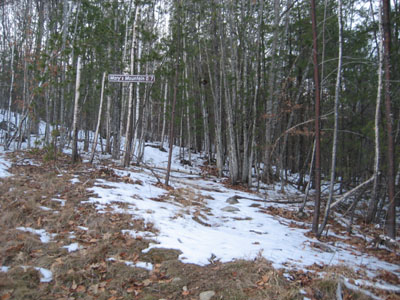
The Mary's Mountain Trail trailhead
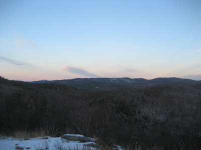
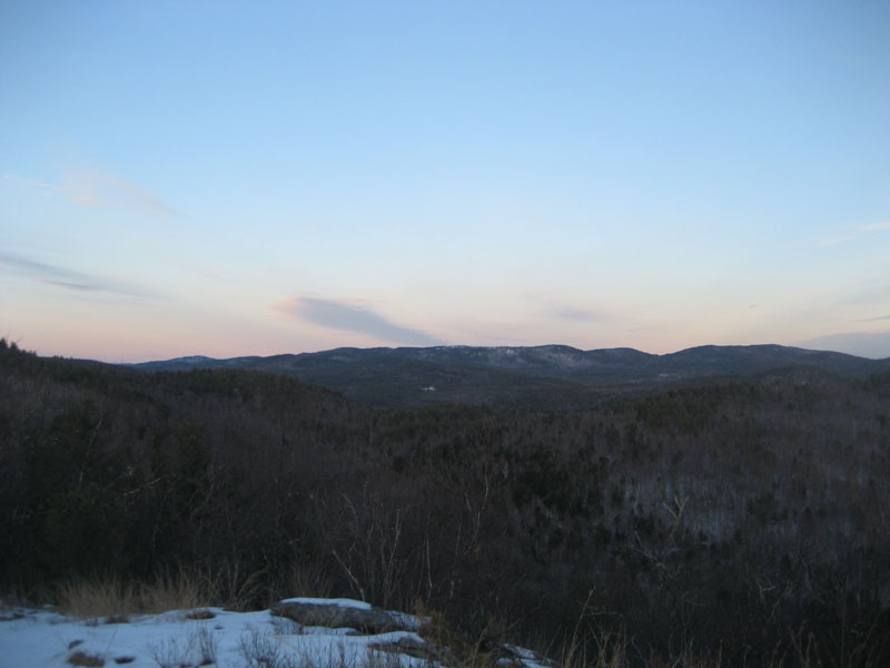
Looking at Foss Mountain from the summit of Mary's Mountain
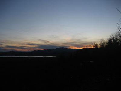
Sunset colors as seen from the summit of Mary's Mountain
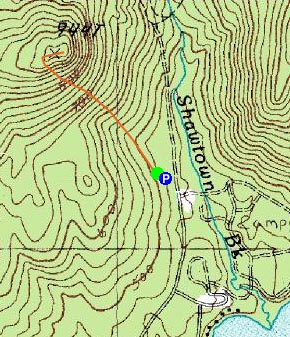

Directions to trailhead: Take Route 16 North from West Ossipee to Route 41 East. Take a right on Ossipee Lake Road. Head down this for a few minutes, then take a left onto Shawtown Road (Danforth Bay Campground sign). Go straight on this road, then take a left and park in the RV/day parking lot. The Mary's Mountain Trail trailhead is located just above the northwest corner of the parking lot.
Back to Mary's Mountain Profile
|